Hello Friends,
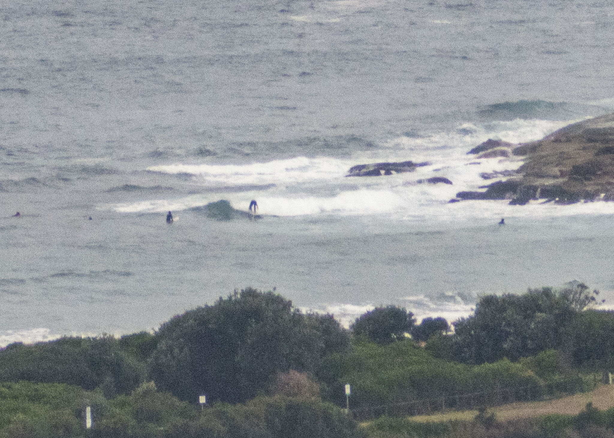
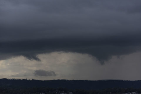
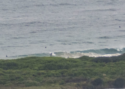
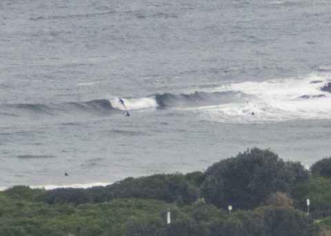
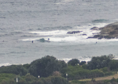
Chilly and showery morning with a little thunder rumbling away in the background as Thursday got started. There are a few somewhat scrappy waves around. Quality is not great and size is about waist to maybe chest. Wind was 7-10 kts from the west and out at sea wave heights were around 2.5 metres from the south at 8 seconds – hence the less than stellar surf. Tide was low at 0830. The wind will come around to the south and build into the 15-25 kt range, plus there’ll be showers on and off all day and we’ll only get to 17C. Not the best prospects for a memorable surf session sad to say. Water’s still on 21C.
It looks like we’re in for southerly conditions across the next few days, so I’ll be hoping the Goat detects something of interest in the entrails for the coming week.
Stay safe!
By Order of the Federal Government, our beaches are open for exercise only – surfing, swimming, running and walking. Beaches will be closed due to unsafe conditions and or mass gatherings. All pools are closed at this time.
Please see some commonly asked questions about the beach closures.
If people are sunbaking or gathering on the beach, they will be asked to move along by our lifeguards, rangers or the police.
Due to the risk of Coronavirus and acting on direction of NSW and Federal Governments, Council has closed many public areas. View the latest updates on the evolving situation with Coronavirus (COVID-19).
In addition, it is against the law to gather with more than two people in public, except:
- for members of the same household
- where the gathering is essential for work or education
- If you go out, stay 1.5 metres away from other people at all times.
The rules are also now enforceable and Police are issuing fines of $1000 for individuals and $5000 for companies. These are difficult circumstances and we appreciate your patience and understanding.
Weather Situation
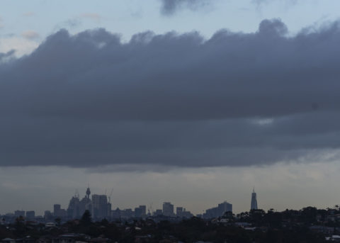
A cold front slipping away to the southeast has brought a southerly change to southern parts of the New South Wales coast overnight, which is forecast to continue through to the north on Thursday. Following this, a trough is expected to linger offshore in the north over the next few days as a high pressure system over the Bight gradually moves across southeastern Australia.
Forecast for Thursday until midnight
Winds
Southerly 15 to 25 knots.
Seas
1.5 to 2 metres.
1st Swell
Southerly around 1 metre, increasing to 1 to 1.5 metres during the morning.
2nd Swell
Easterly around 1 metre.
Weather
Cloudy. 95% chance of showers. The chance of a thunderstorm during the morning and afternoon.
Friday 15 May
Winds
Southerly 15 to 20 knots, reaching up to 25 knots in the early afternoon. Winds turning southeasterly in the late afternoon.
Seas
1 to 1.5 metres.
1st Swell
Easterly 1 to 1.5 metres, increasing to 1.5 to 2 metres during the morning.
2nd Swell
Southerly around 1 metre.
Weather
Partly cloudy. 50% chance of showers.
Saturday 16 May
Winds
Southeasterly 10 to 15 knots decreasing to about 10 knots during the morning.
Seas
Around 1 metre.
Swell
Easterly 1.5 metres.
Weather
Partly cloudy


