Hello Friends,
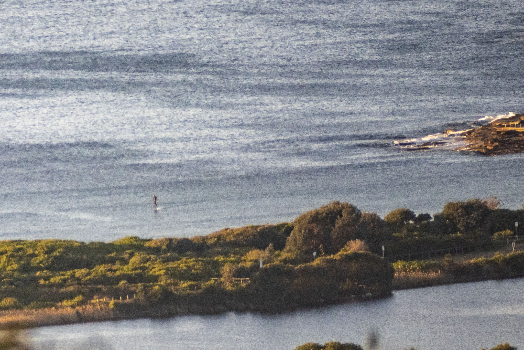
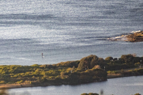
Nothing happening at Dee Why this morning. Chilly and sunny with 7-10 kts of NNW breeze ahead of stronger westerlies later. Out at sea the buoy was seeing a metre of 10-sec bump from the SSE, but as the picture shows, any swell is being kept away from the coast by the non-stop offshores.
As for the outlook, well, may I refer you to the wise words of the Mighty Goat… it’s a nuanced but ultimately hopeful rumination on our prospects for the week ahead.
Stay safe, pack that mask and have a top old Friday!
Weather Situation
A cold front will move into western New South Wales this morning, associated with a complex low pressure system near Tasmania. This front will continue to the coast overnight, maintaining fresh to strong westerly winds over most coastal waters. During Saturday and Sunday the low is forecast to move across the south Tasman Sea, with winds over New South Wales shifting more southwesterly. Conditions should ease during Monday in the wake of this system, as a high pressure ridge develops over New South Wales.
Forecast for Friday until midnight
Strong Wind Warning for Friday for Sydney Coast
Winds
Westerly 15 to 25 knots, reaching 30 knots offshore in the evening.
Seas
1.5 to 2.5 metres.
Swell
Southerly 1 to 1.5 metres.
Weather
Mostly sunny.
Saturday 22 August
Strong Wind Warning for Saturday for Sydney Coast
Winds
Westerly 20 to 30 knots.
Seas
2 to 3 metres.
Swell
Southerly below 1 metre.
Weather
Partly cloudy. 60% chance of showers.
Sunday 23 August
Winds
Westerly 20 to 30 knots.
Seas
1 to 2 metres, increasing to 2 to 3 metres offshore.
Swell
Southerly below 1 metre, increasing to 2 to 3 metres during the late morning.
Weather
Partly cloudy. 50% chance of showers. The chance of a thunderstorm in the morning and afternoon.


