Hello Friends,
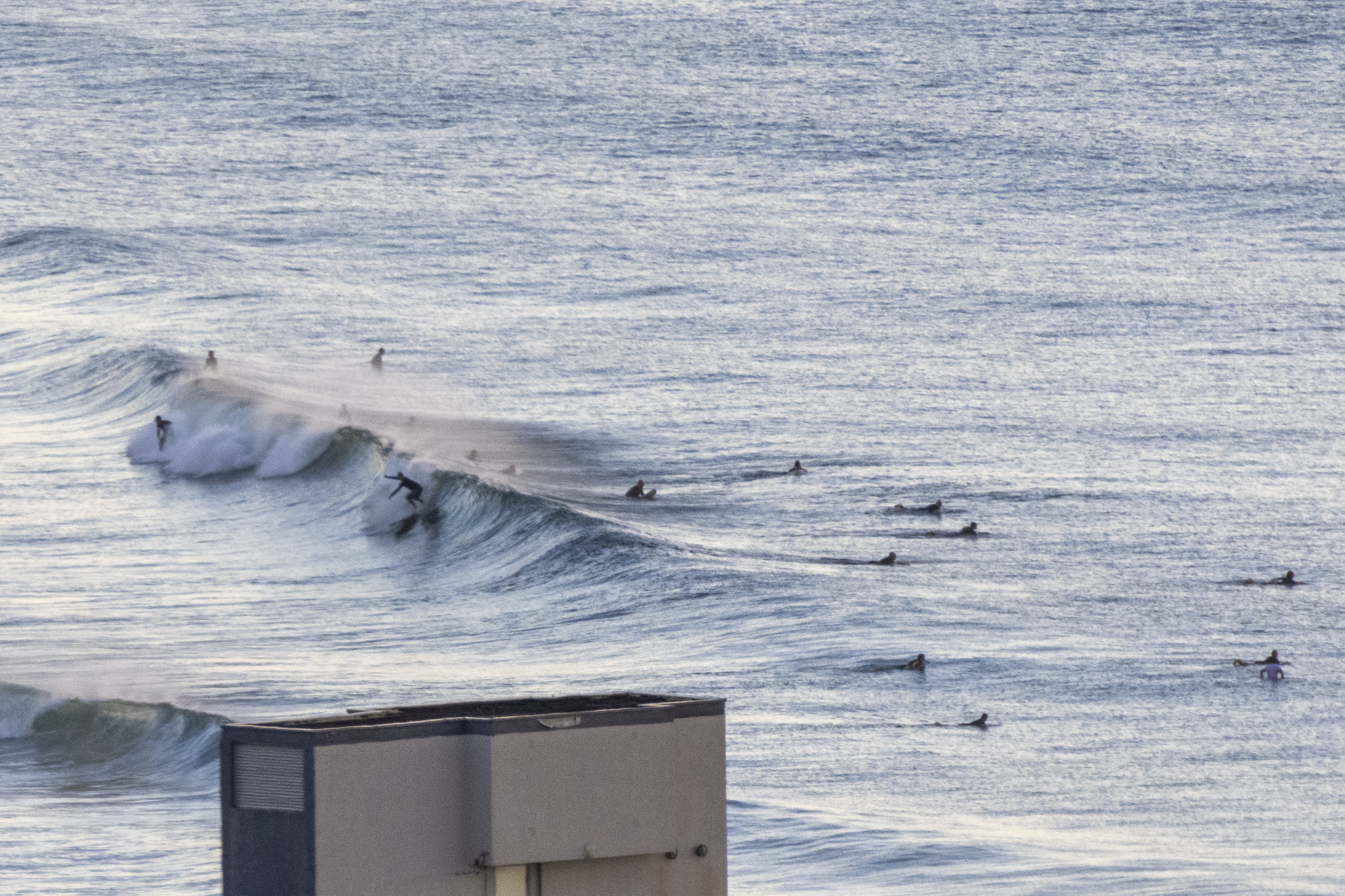
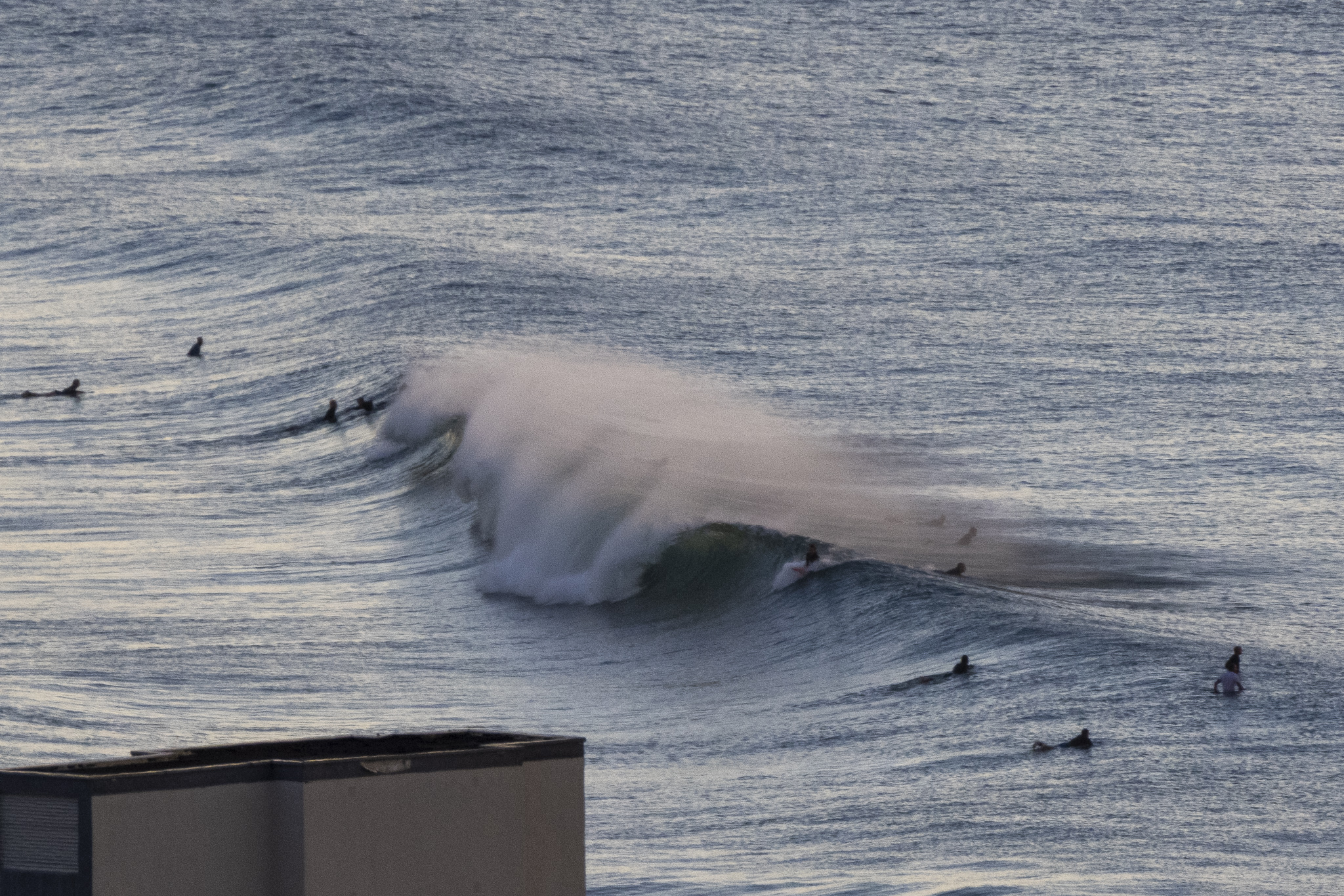
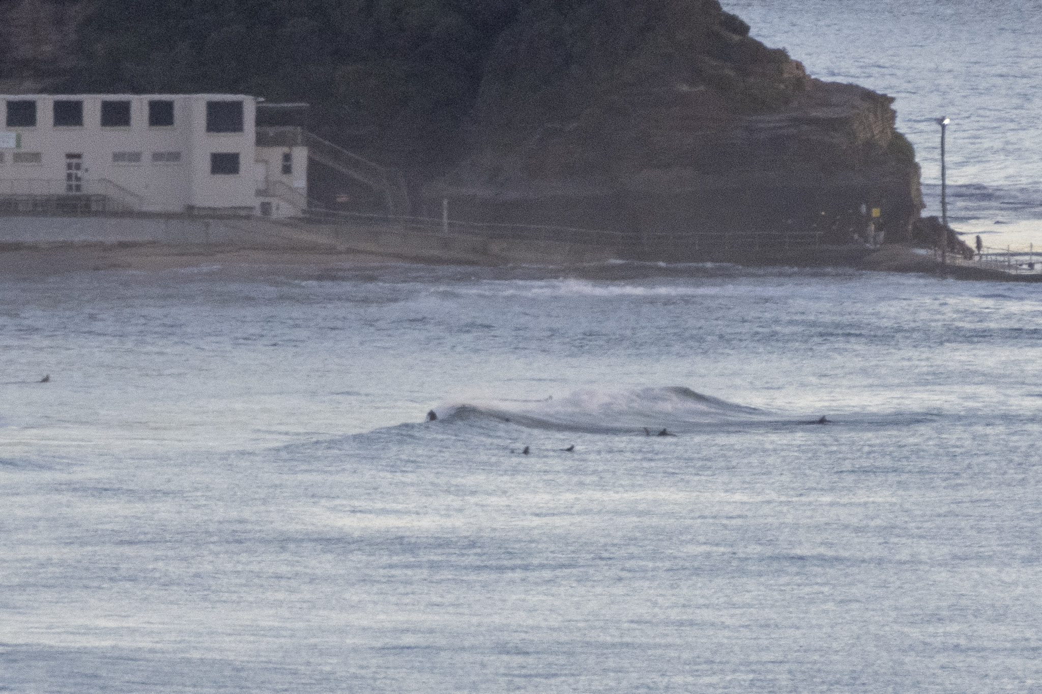
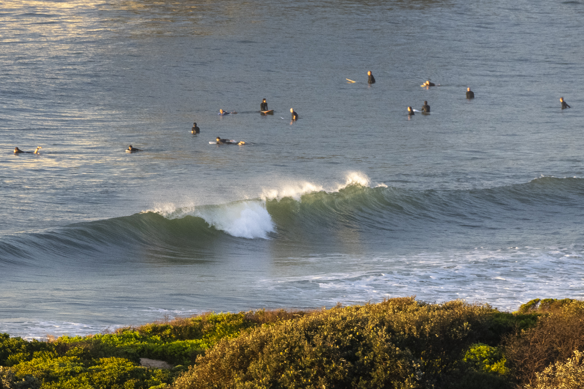
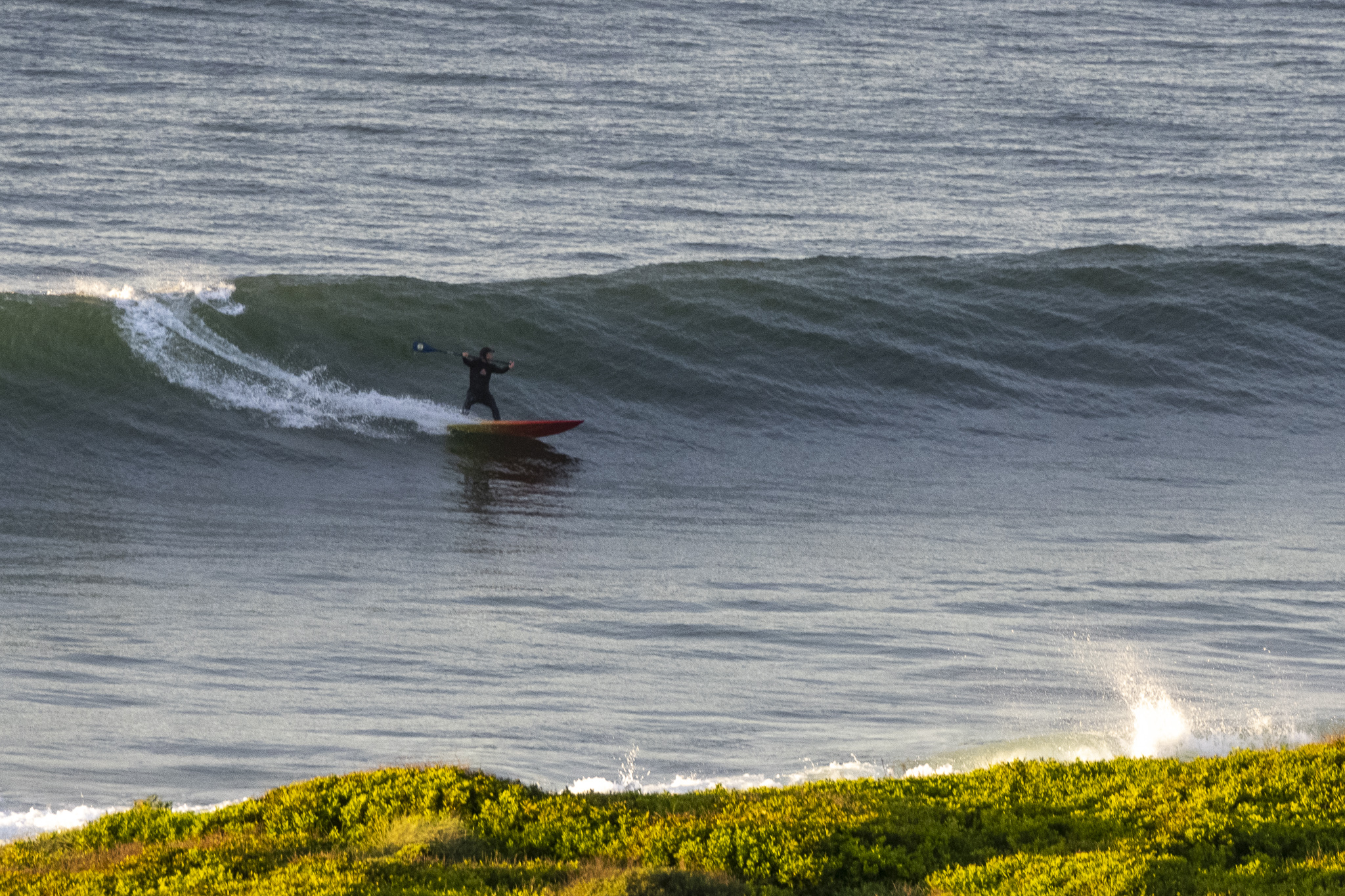
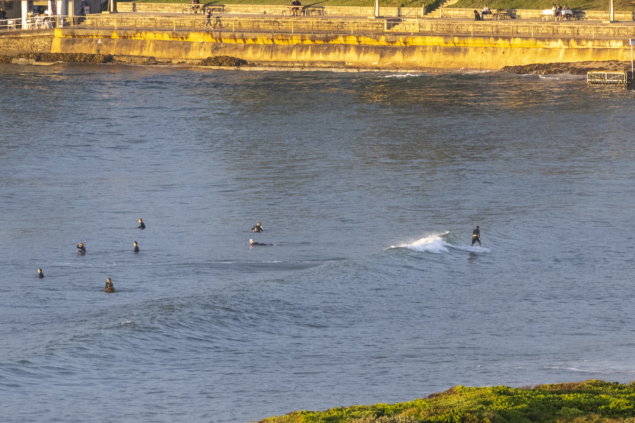
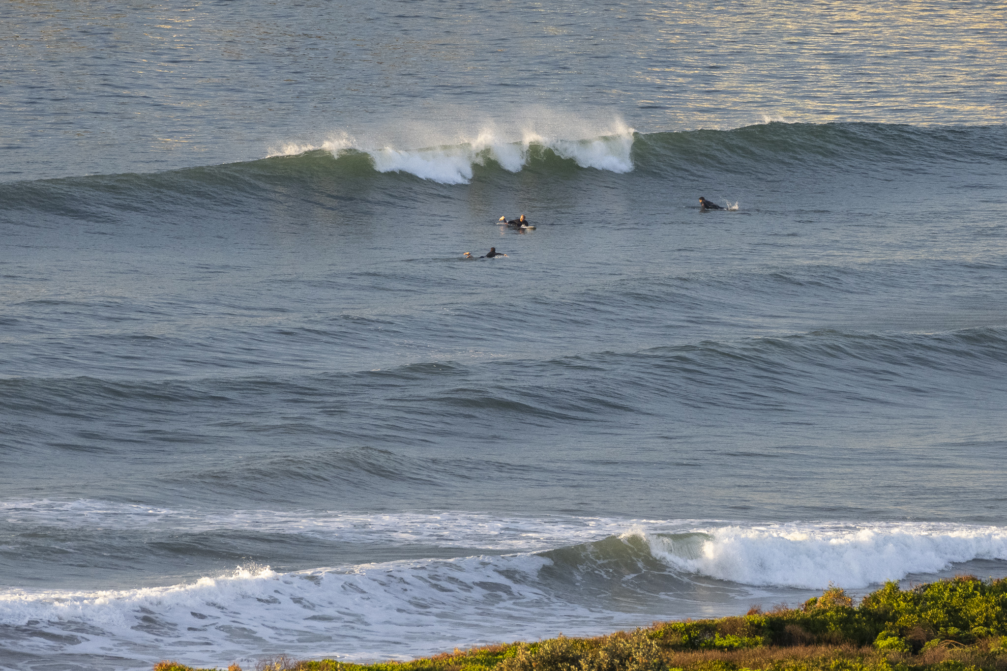
Nice morning along the beaches and there are still a few little waves at the east magnets. Swell at sea was 1.2 metres at 9-10 seconds from the east. The biggest sets were into the chest plus range, but you had to be in the optimal spot and some places, such as Dee Why, were struggling to make waist high on sets. The tide’s a swampy 1.73 m high at 0745, so that was definitely playing a role in the generally slow and soft looking conditions. Wind was light and coming from the west at 0700. It should stay light all day. Weather should be mostly sunny as we head to a high of 24C.
Tomorrow’s shaping to be a touch smaller but otherwise similar to today. And the small but still surfable conditions look like sticking around well into next week. Nothing wrong with that!
Go well and have yourself a top old Saturday!
Weather Situation
A slow-moving ridge of high pressure over New South Wales is resulting in light to moderate onshore winds in most coastal areas, fresh at times near the Queensland border. A trough and associated cold front will approach from the west later on the weekend, with winds along the southern coast freshening ahead of it. The trough is expected to bring a weak southerly change to far southern waters during Monday, before the front delivers a more substantial west to southwesterly wind shift mid-week.
Forecast for Saturday until midnight
- Winds
- Variable about 10 knots.
- Seas
- Below 1 metre.
- Swell
- Easterly around 1 metre.
- Weather
- Mostly sunny.
Sunday 17 April
- Winds
- Variable about 10 knots becoming north to northeasterly 10 to 15 knots in the middle of the day.
- Seas
- Below 1 metre.
- 1st Swell
- Southerly around 1 metre.
- 2nd Swell
- Easterly 1 to 1.5 metres.
- Weather
- Mostly sunny.
Monday 18 April
- Winds
- Northerly 10 to 15 knots.
- Seas
- Around 1 metre.
- Swell
- Easterly around 1.5 metres.
- Weather
- Mostly sunny.


