Hello Friends,
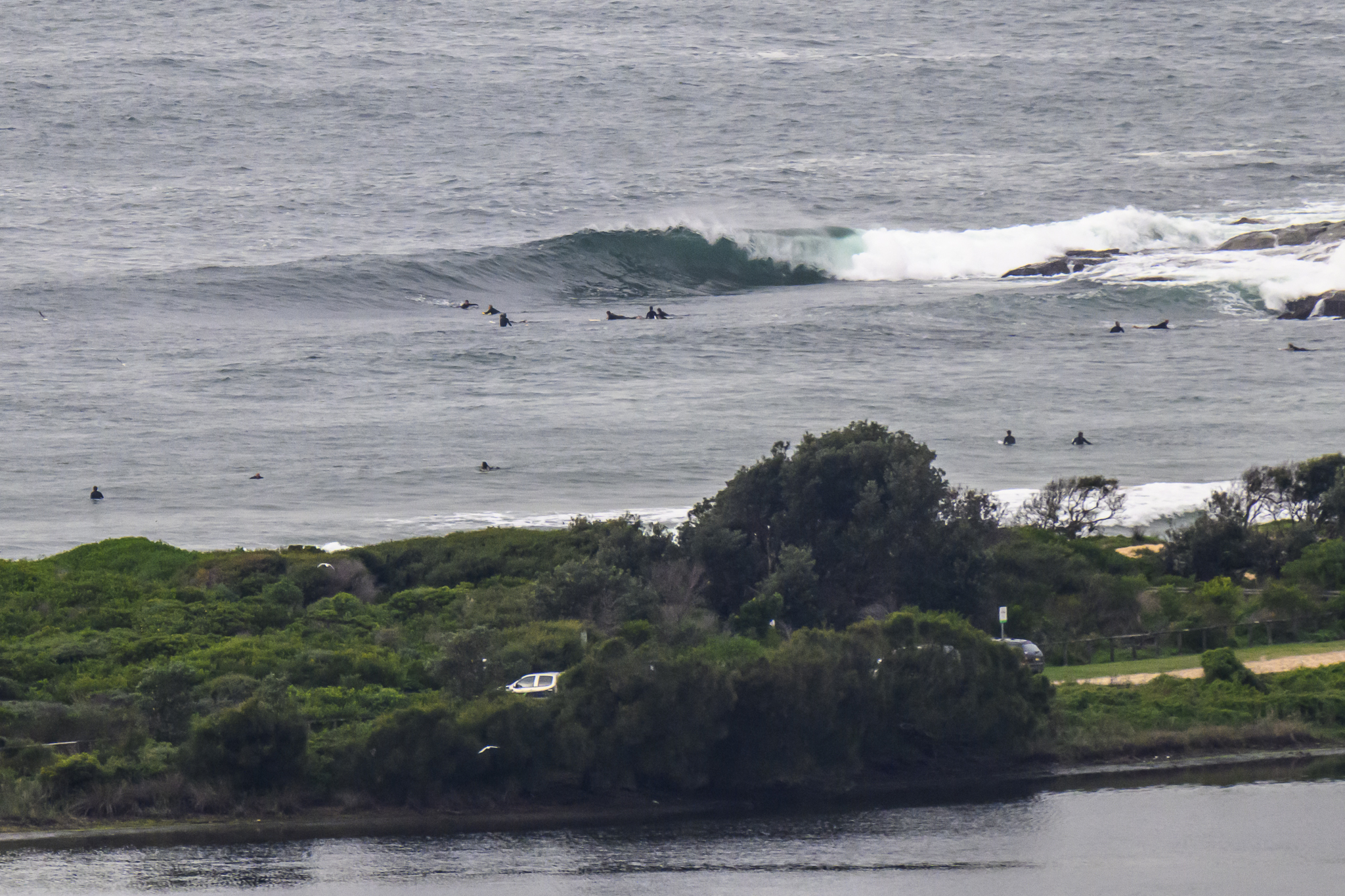
Give it a miss. There’s 4 metres of 14 second SSE swell, but it’s getting smashed by 25-35 kts of SSE wind. Plus, it’s grey and rainy.
Maybe tomorrow…if the wind swings as predicted
Go well!
Weather Situation
South to southwesterly winds will turn southeasterly today as a trough associated with a low pressure system near New Zealand moves north along the New South Wales coast. After this, a ridge of high pressure is expected to briefly develop ahead of the passage of a cold front on Tuesday. Fresh southerly winds are then forecast to increase on Wednesday as a broad area of low pressure develops over the Tasman Sea in the wake of the front.
Forecast for Sunday until midnight
Strong Wind Warning for Sunday for Sydney Coast
- Winds
- South to southwesterly 20 to 30 knots turning southeasterly during the day and easing to 20 to 25 knots in the evening.
- Seas
- 1.5 to 2.5 metres.
- Swell
- Southerly 3 to 4 metres, tending southeasterly 4 to 5 metres during the morning.
- Weather
- Cloudy. Near 100% chance of showers. The chance of a thunderstorm offshore.
- Caution
- Large and powerful surf conditions are expected to be hazardous for coastal activities such as crossing bars by boat and rock fishing.
Monday 11 July
- Winds
- South to southeasterly 15 to 20 knots tending south to southwesterly below 10 knots in the late morning.
- Seas
- 1 to 1.5 metres, decreasing below 1 metre late in the morning.
- Swell
- Southeasterly 3 to 4 metres, decreasing to 3 metres around midday.
- Weather
- Partly cloudy. 70% chance of showers.
- Caution
- Large and powerful surf conditions in the early morning are expected to be hazardous for coastal activities such as crossing bars by boat and rock fishing.
Tuesday 12 July
- Winds
- Westerly about 10 knots increasing to 10 to 15 knots during the morning then tending southwesterly during the evening.
- Seas
- Below 1 metre.
- Swell
- Southeasterly 1.5 to 2.5 metres.
- Weather
- Partly cloudy. 80% chance of showers.


