Hello Friends,
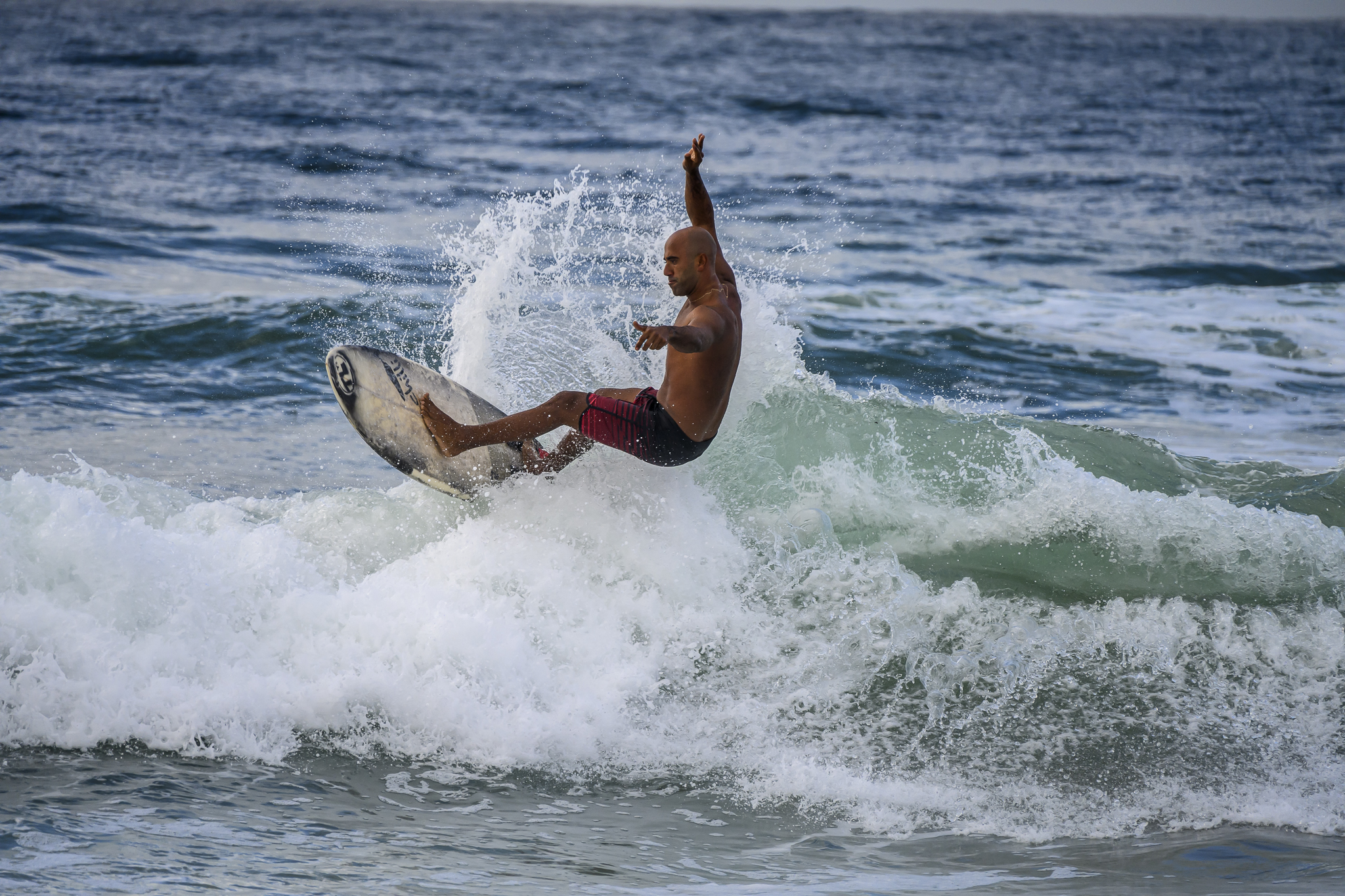
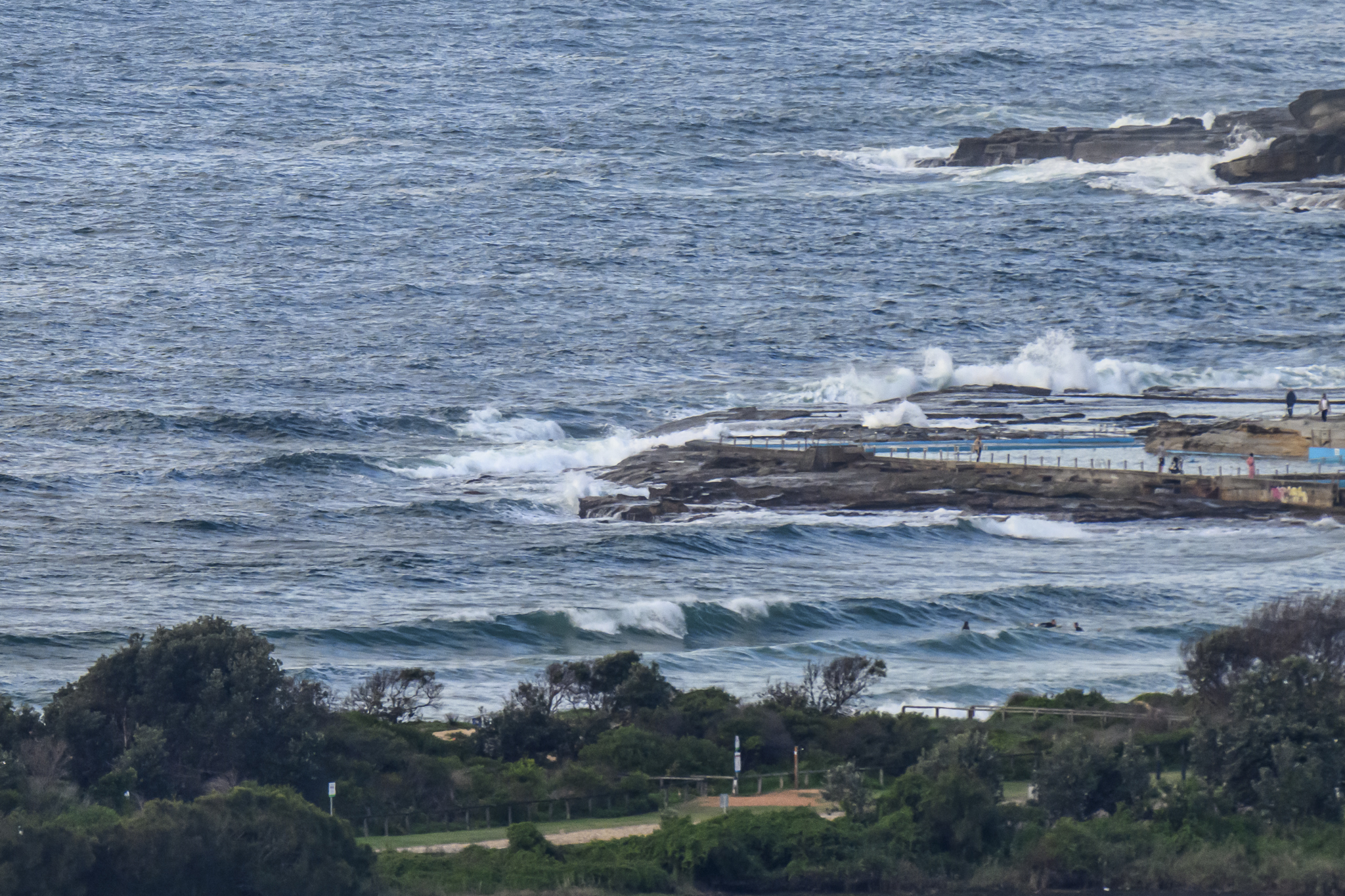
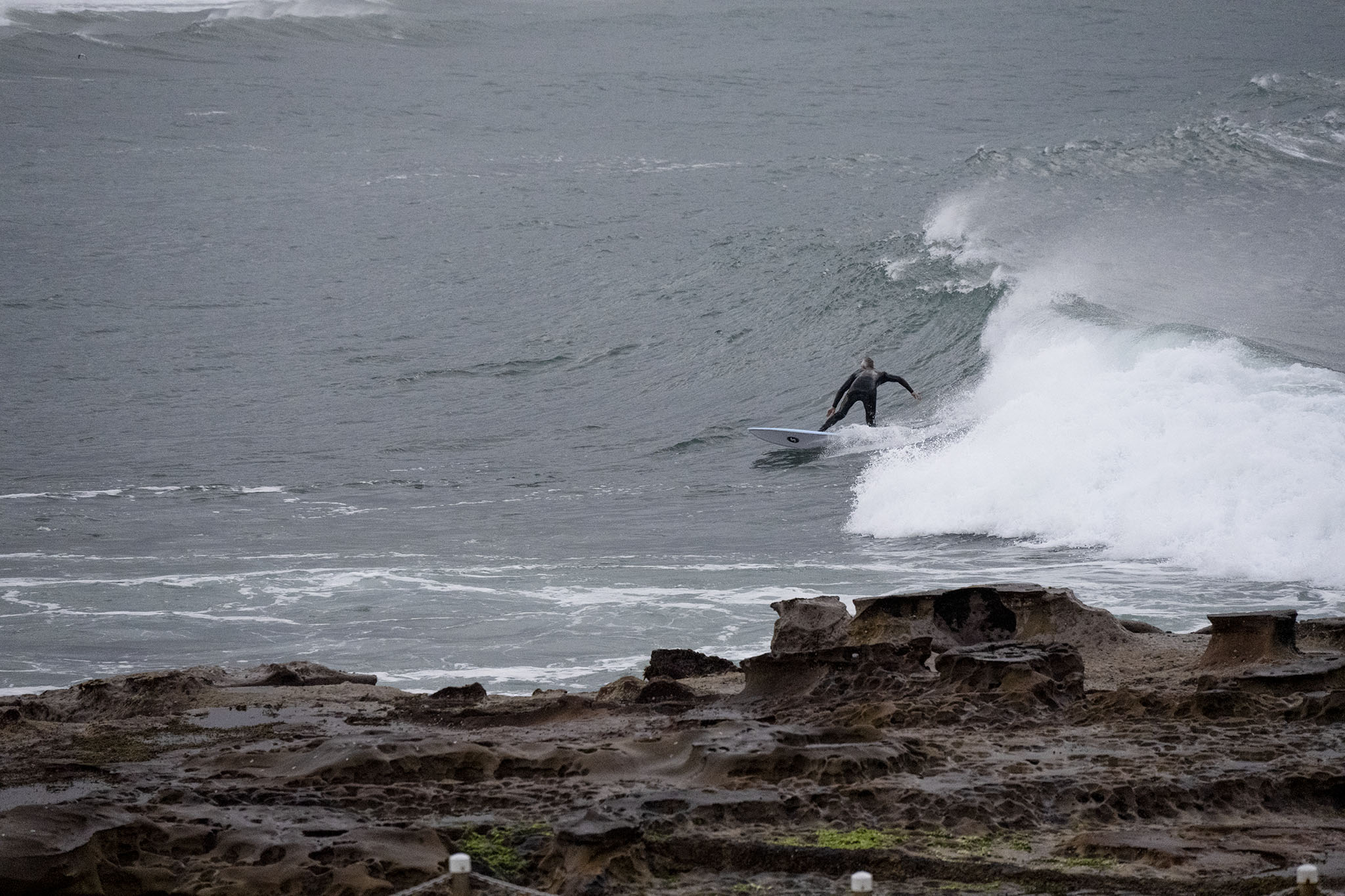
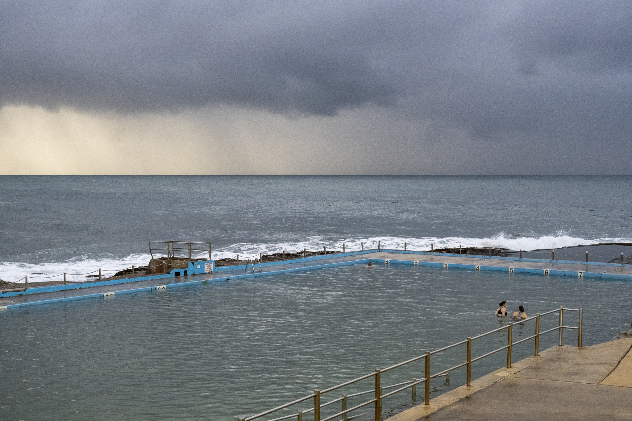
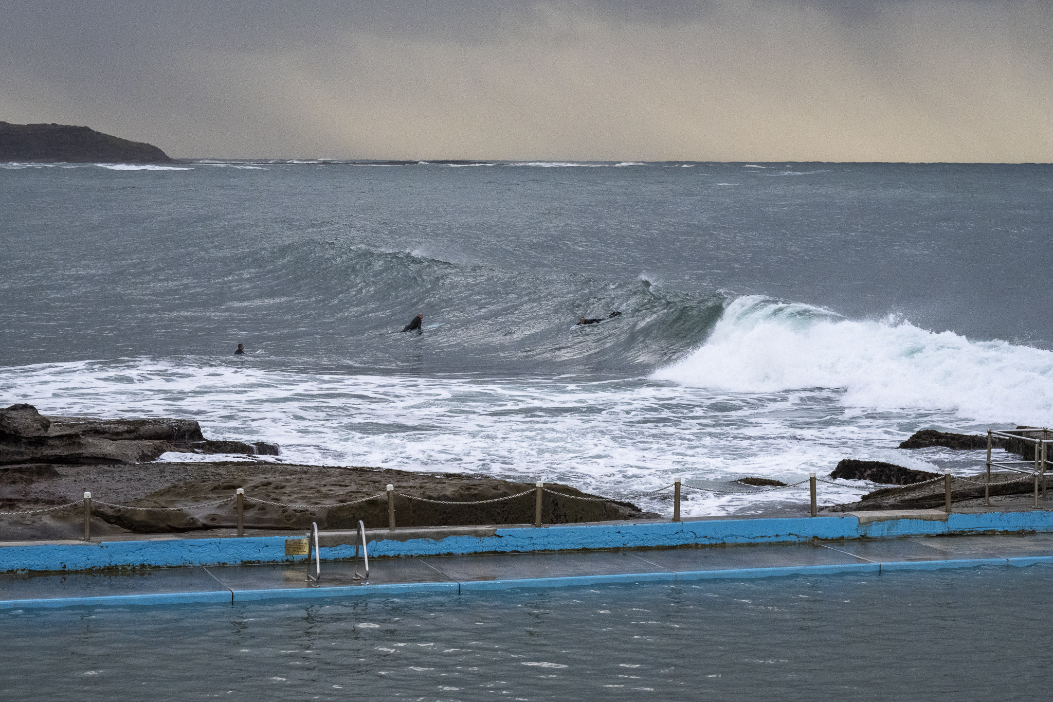
Up early for an errand, so stopped at the point to watch the sun rise on a cold and showery morning. Surface conditions were comparatively smooth at Dee Why thanks to an early westerly breeze. Swell was starting to fill in too. Three stalwarts hit the point before daybreak and while they were doing a fair amount of waiting around, there were a couple of chest plus sets to make the exercise worthwhile.
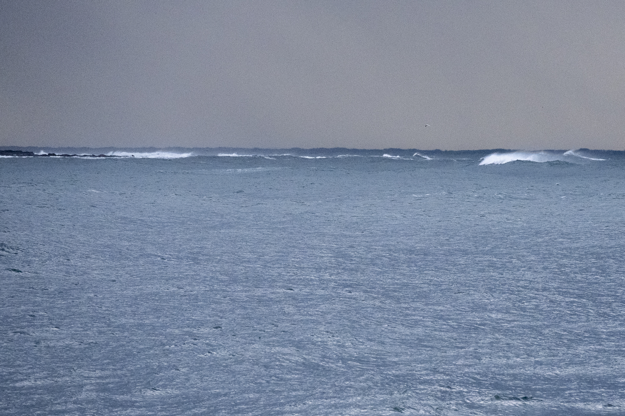
Swell at sea was coming from the SSE at 3 metres with a 12-13 second interval. Tide was low at 0650 and will be back to high at 1300 – by which time the Bureau tells us, the wind will be southerly and in the 20-30 kt range. Swell’s set to stay about the same size tomorrow, but the wind will be SE – and predicted to stay that way through to Sunday. According to the long range forecasts, we can expect the showery stuff to last into mid next week.
So, yeah, not the best outlook surfwise…
Stay safe folks!
Weather Situation
A high pressure system is extending a ridge across New South Wales while a cold front moves away to the east this evening. This high pressure system will slowly move east during the week, reaching the Tasman Sea on Thursday. This pattern will see south to southeasterly winds persisting along the coast, accompanied by an increasing southerly swell. A trough is expected to deepen over the southern Coral Sea later in the week, and depending on its movement, may lead to an increase in showers, winds and waves, mainly in the north.
Forecast for Tuesday until midnight
Strong Wind Warning for Tuesday for Sydney Coast
- Winds
- Southerly 20 to 25 knots, reaching up to 30 knots inshore during the morning. Winds turning southeasterly 15 to 20 knots in the late morning and early afternoon.
- Seas
- 1.5 to 2 metres, decreasing to 1 to 1.5 metres during the afternoon.
- Swell
- Southerly 2 to 2.5 metres.
- Weather
- Partly cloudy. 90% chance of showers.
- Caution
- Surf conditions may be more powerful than they appear and are expected to be hazardous for coastal activities such as crossing bars by boat and rock fishing.
Wednesday 20 July
- Winds
- Southeasterly 15 to 20 knots.
- Seas
- Around 1 metre.
- Swell
- Southerly 2 to 2.5 metres.
- Weather
- Partly cloudy. 80% chance of showers.
Thursday 21 July
- Winds
- Southeasterly 15 to 20 knots turning easterly 15 to 25 knots during the day.
- Seas
- 1 to 1.5 metres, increasing to 1.5 to 2 metres during the afternoon.
- 1st Swell
- Southerly 1.5 to 2 metres, tending southeasterly 1 to 2 metres during the afternoon.
- 2nd Swell
- Below 0.5 metres, tending southeasterly 1 to 1.5 metres during the late evening.
- Weather
- Partly cloudy. 90% chance of showers.