Hello Friends,
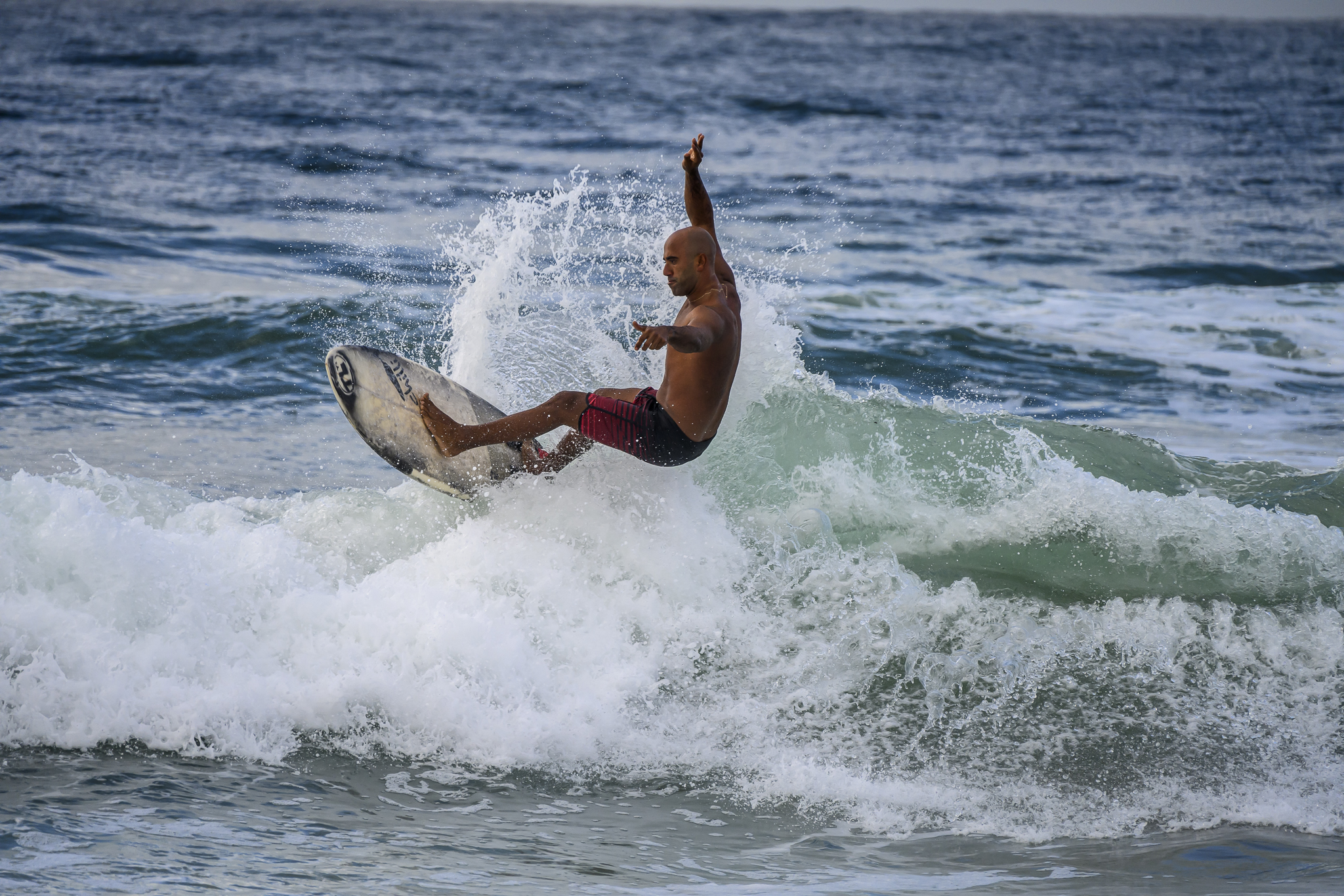
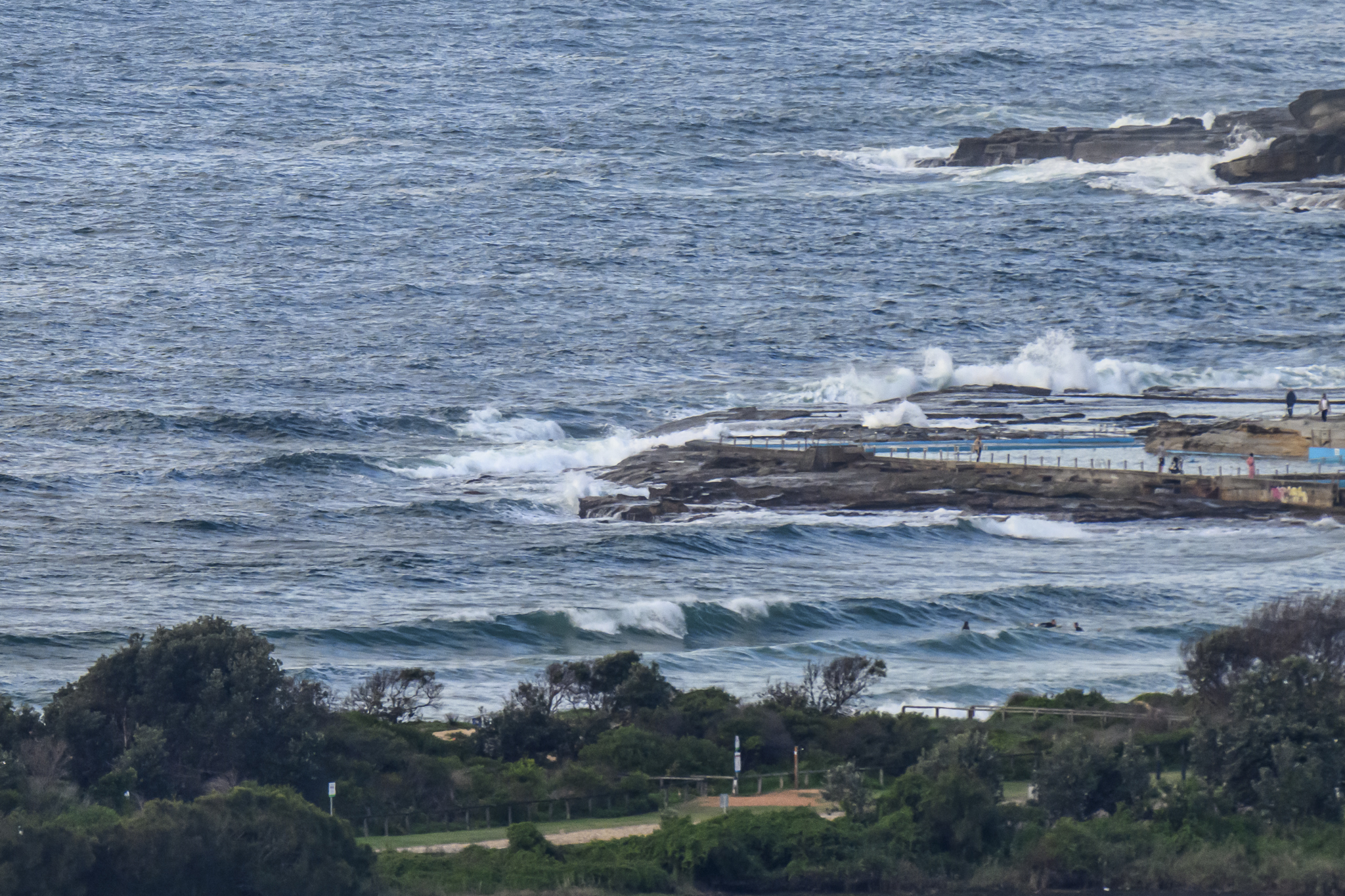
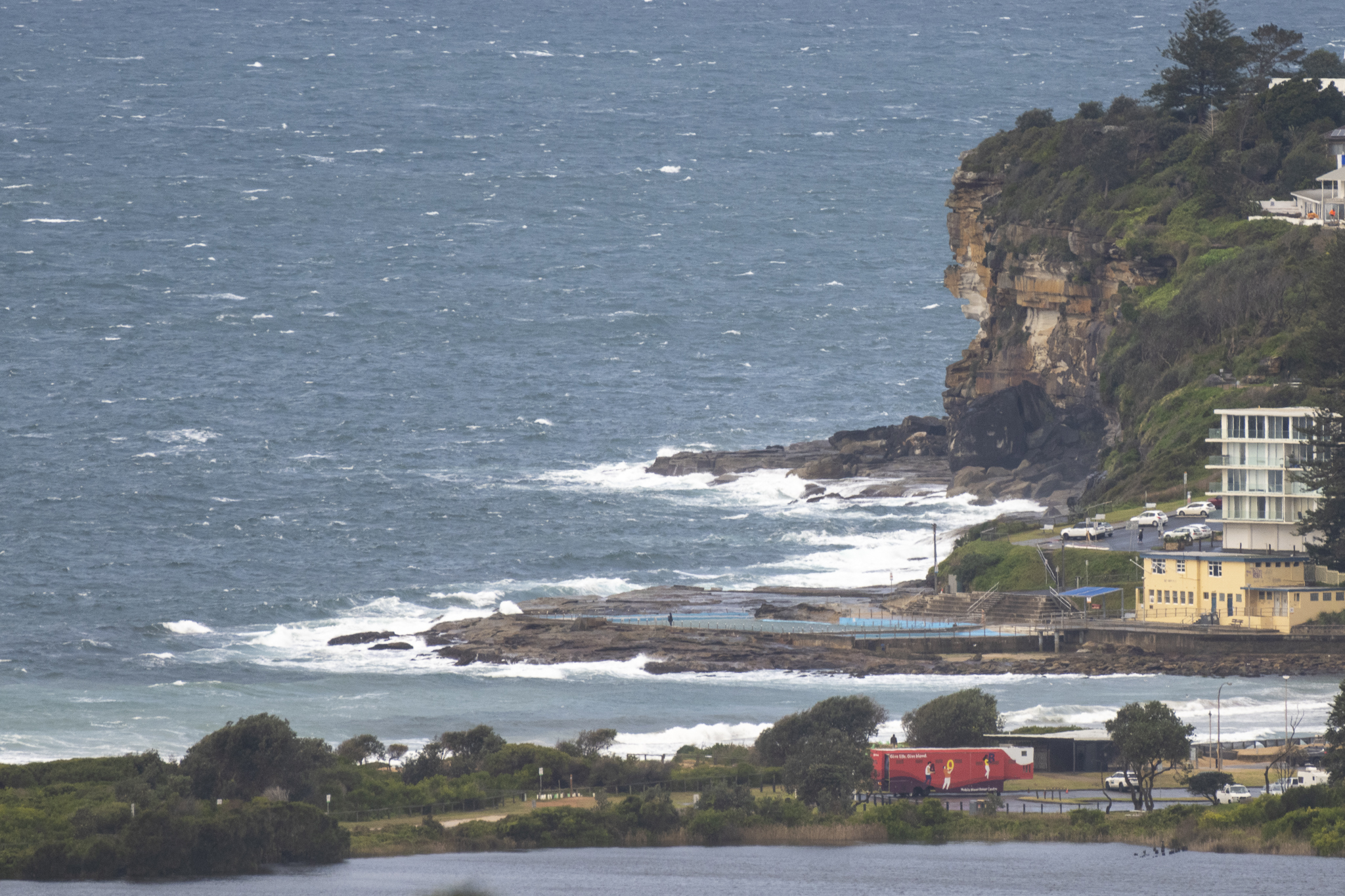
The title tells the story. It’s a great day for non-surfing activities. You’re missing nothing at the beach this morning thanks to a steady supply of 15-25 kt ESE wind. There’s some swell at sea, but given surface conditions, that’s kind of beside the point.
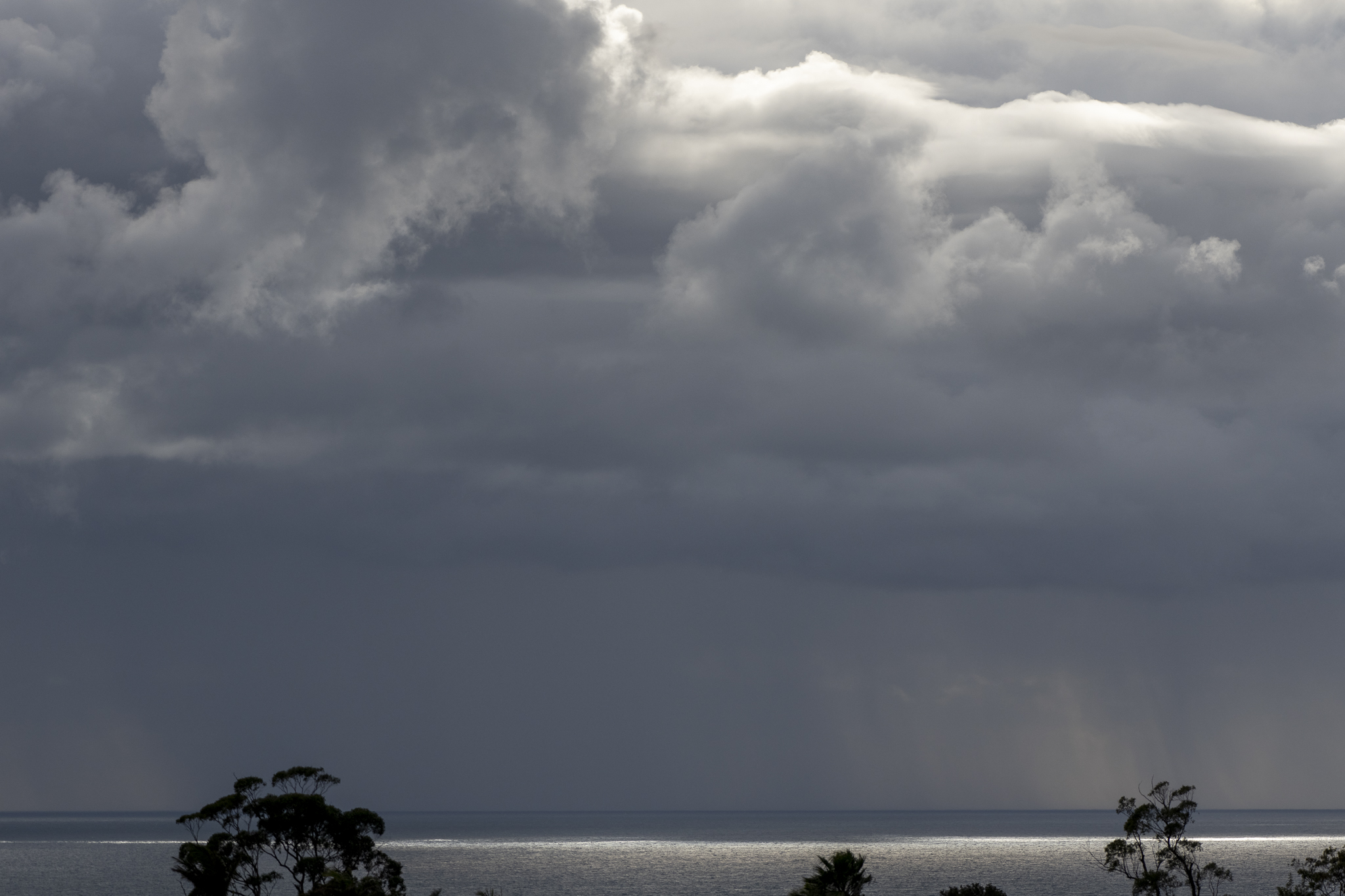
A quick glance at the charts, suggest that we’re in for a few more days of this dreck, but from Sunday onward it’s looking, shall we say, intriguing.
Go well with your day and wear the mask around others inside. You don’t want to be among the 400+ folks who will develop a case of COVID today*.
Weather Situation
South to southeasterly winds will persist for the coming days as a high pressure system near Tasmania slowly moves east. A trough over the Coral Sea is expected to deepen and form an East Coast Low offshore from the southeastern Queensland coast by Friday. This low is likely to generate large easterly swells and increasing east to southeasterly winds, mainly to the northern waters, on Friday and Saturday before it moves away to the east.
Forecast for Thursday until midnight
- Winds
- Southeasterly 15 to 20 knots turning easterly in the morning.
- Seas
- Around 1 metre, increasing to 1 to 1.5 metres during the morning.
- 1st Swell
- Southerly 1.5 to 2 metres, decreasing to 1 to 1.5 metres during the afternoon.
- 2nd Swell
- Northeasterly below 0.5 metres, tending east to southeasterly 1 to 1.5 metres during the afternoon.
- Weather
- Cloudy. 90% chance of showers.
Friday 22 July
- Winds
- Easterly 15 to 20 knots.
- Seas
- 1 to 1.5 metres.
- 1st Swell
- Southeasterly 1.5 metres, tending easterly 2 metres during the afternoon.
- 2nd Swell
- Southerly 1 to 1.5 metres, decreasing to around 1 metre during the morning.
- Weather
- Partly cloudy. 90% chance of showers.
Saturday 23 July
- Winds
- Easterly 15 to 20 knots turning southeasterly during the morning.
- Seas
- Around 1 metre.
- Swell
- Easterly 2 to 2.5 metres, tending northeasterly 2.5 to 3 metres during the morning.
- Weather
- Partly cloudy. 80% chance of showers.