Hello Friends,
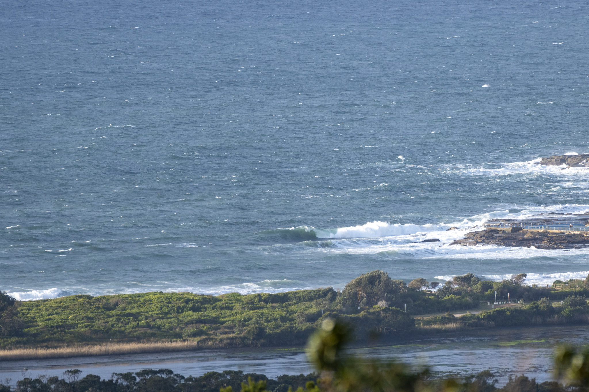
As expected, we have another rest day for surfers in Sydney. It’s been blowing ESE at around 15-25 kts for a couple of days now so, although there’s 2 metres of 10-sec south swell, conditions are just too messy for most of us to bother.
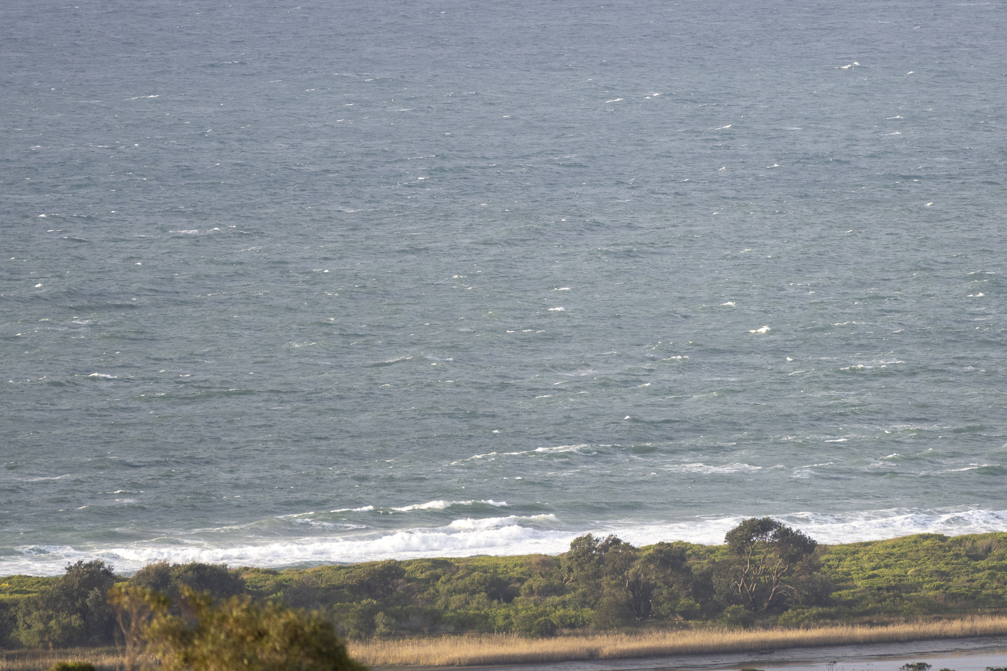
The junky conditions are set to persist through the weekend, even as the swell energy swings east and ramps into the 3 metre range on Saturday. The only glimmer of hope is that instead of southerlies on Sunday as the Bureau predicts, we might get SW wind to do a combo with the 3 metre swell – according to some of the swell model predictions…
Stay safe folks and have a great Friday!
Weather Situation
South to southeasterly winds will persist for the coming days as a high pressure system near Tasmania slowly moves east. An East Coast Low developing off the Queensland coast east of K’gari (Fraser Island) will generate large easterly swells and increasing east to southeasterly winds, mainly to the northern waters, today and Saturday before it moves away to the east.
Forecast for Friday until midnight
- Winds
- Easterly 15 to 20 knots.
- Seas
- 1 to 1.5 metres.
- Swell
- Southeasterly 1.5 to 2 metres, tending easterly 1.5 to 2 metres around midday.
- Weather
- Cloudy. 90% chance of showers.
Saturday 23 July
- Winds
- Easterly 10 to 15 knots, reaching up to 20 knots offshore early in the morning. Winds turning southeasterly before dawn.
- Seas
- Around 1 metre.
- Swell
- Easterly 2 to 2.5 metres, tending northeasterly 2.5 to 3 metres during the morning, then tending easterly 3 metres around midday.
- Weather
- Partly cloudy. 80% chance of showers.
Sunday 24 July
- Winds
- Southerly 10 to 15 knots.
- Seas
- Below 1 metre.
- Swell
- Easterly 2.5 to 3 metres.
- Weather
- Partly cloudy. 70% chance of showers.


