Hello Friends,
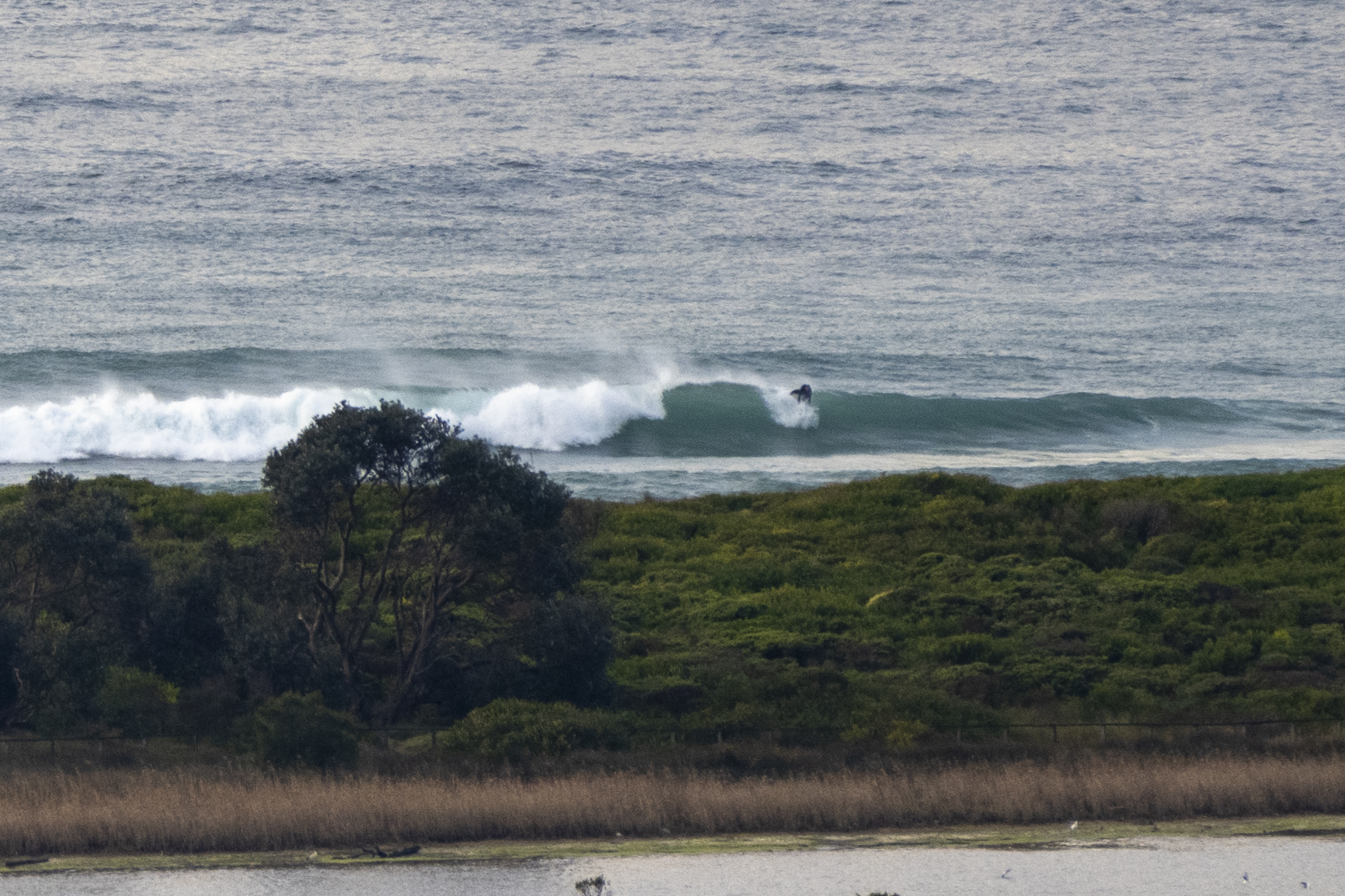
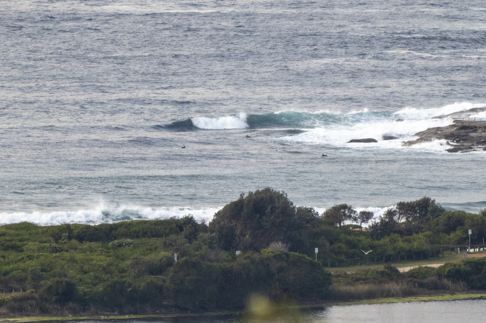
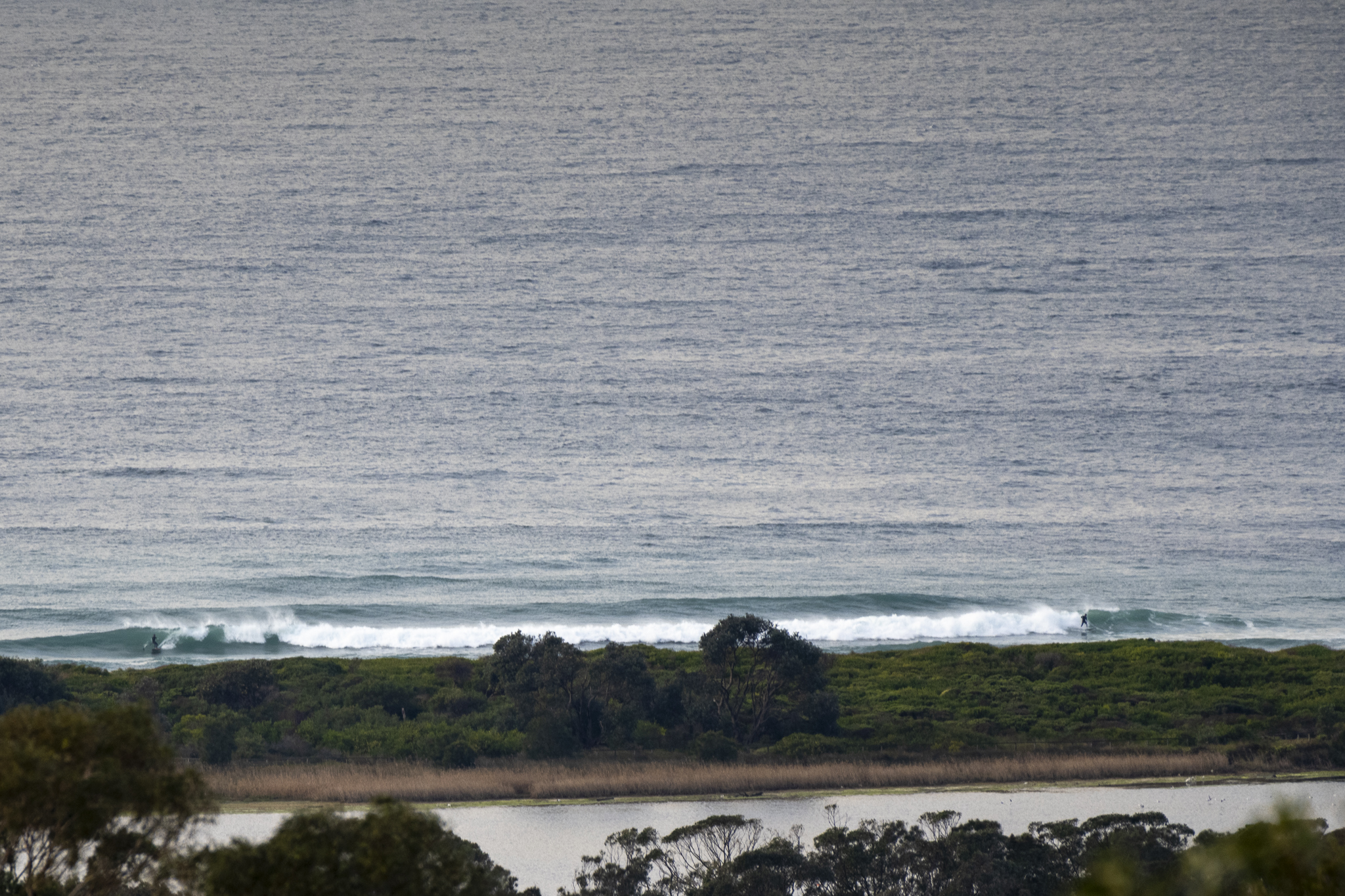
It was a cold 8C just before 0800 this morning. Skies were mostly cloudy, but with the odd patch of blue and wind was out of the west at 8-10 kts. As you can see from the pics, there were a few shoulder high waves to be had along the Dee Why stretch and at the point. The swell at sea was 2.4 metres at 10 seconds from 144° (SE). Tide was high at 0545 and is currently dropping to the low at 1110. We should see a high of 16C today and there’s a 90% chance of more showers. Ocean is on 18C.
The Bureau is warning of large and powerful waves along the coast and looking at the models, it appears that we might see the swell ramp this afternoon as the period gets into the 13 second range.
It looks as though we’ll have solid swell through tomorrow, but wind could be an issue as it’s set to be southerly all day. Thursday is likely to see the swell energy fading back into the waist to chest plus range as weather remains cloudy and wind goes around to the north – but remains light.
Have a great Tuesday everyone!
 Weather Situation
A high pressure system lies over western New South Wales today, while a trough lies along the coast. A low pressure system over the southern Tasman sea will generate a large and powerful southeasterly swell along the northern half of the coast later today and Wednesday, bringing hazardous surf conditions. The high will drift slowly southeast during the next few days, with southerly winds gradually easing over coastal waters, then shifting northerly late in the week as a cold front approaches. A westerly change associated with this front is forecast to arrive during the weekend.
Forecast for Tuesday until midnight
- Winds
- Southerly 15 to 20 knots. Southwesterly winds 10 to 15 knots inshore during the morning.
- Seas
- 1 to 1.5 metres.
- Swell
- Southerly 2 metres, tending southeasterly 2.5 metres during the morning.
- Weather
- Cloudy. 95% chance of showers. The chance of a thunderstorm.
- Caution
- Large and powerful surf conditions in the afternoon and evening are expected to be hazardous for coastal activities such as crossing bars by boat and rock fishing.
Wednesday 10 August
- Winds
- Southerly 15 to 20 knots turning east to southeasterly 10 to 15 knots during the afternoon.
- Seas
- 1 to 1.5 metres, decreasing below 1 metre around midday.
- Swell
- Southeasterly 2.5 to 3 metres.
- Weather
- Partly cloudy. 50% chance of showers.
- Caution
- Large and powerful surf conditions are expected to be hazardous for coastal activities such as crossing bars by boat and rock fishing.
Thursday 11 August
- Winds
- Northeasterly below 10 knots offshore tending northwesterly inshore. Becoming northerly 10 to 15 knots during the late morning.
- Seas
- Below 1 metre.
- Swell
- Southeasterly 1.5 to 2.5 metres.
- Weather
- Cloudy.


