Surf forecast issued Thursy 20 April 2023: Seven day outlook for Sydney
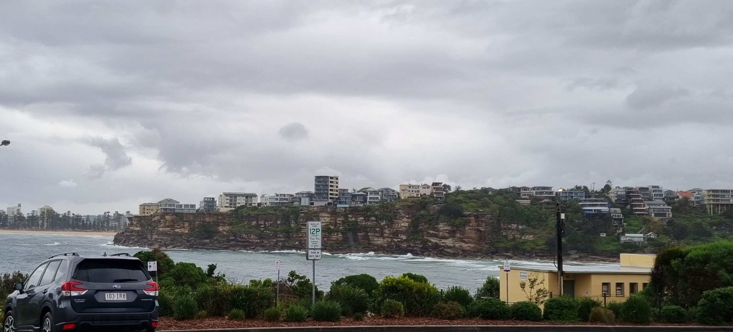
When the weather goes like it was today, after memories of nice sunny days, TG starts moping around…
That’s when I gently remind him with a megaphone to his ear:
Wake up to yourself!! It won’t stay like this forever!
He’s very sensitive. and he soon starts to perk up.
Here’s today’s forecast I got him to cough up>>>
Friday: going down thru the 1-2 metre range, say 1 – 1+ metres East
Saturday: around 1-1+ metres East
Sunday: same same
Monday: coming up in the 1-2 metre range South East
Tuesday: going down in the 1-2 metre range East/East South East
Wednesday: around 1-1+ metres East
Thursday: ditto
Stay positive.
TG
Up in the Air

http://www.bom.gov.au/australia/charts/4day_col.shtml


Winds
https://www.windy.com/-33.850/151.220?-34.368,151.221,8,m:cIKaknd
Down in the Sea
Water temp…
Well, MHL advises “Erroneous data from the Sydney Waverider indicates that the buoy has been damaged. A replacement buoy will be deployed as soon as possible.”
TG says our next nearest buoy is Port Kembla, which isn’t a million miles from us, where late today water temp was around 22, swell was 1.7 m , with a 12 second period from East and South East.

Tides
https://www.nsw.gov.au/sites/default/files/2022-06/NSW-tide-tables-2022-2023-Pdf.pdf
Weather from the Bureau
Forecast issued at 4:20 pm EST on Thursday 20 April 2023.
Forecast for the rest of Thursday
- Summary

- Cloudy.
- Chance of any rain: 30%

Sydney area
Cloudy. Slight chance of a shower. Winds southerly 15 to 25 km/h becoming light in the late evening.
Sun protection recommended from 9:30 am to 2:20 pm, UV Index predicted to reach 5 [Moderate]
Friday 21 April
- Summary

- Min 15
- Max 22
- Partly cloudy.
- Possible rainfall: 0 to 1 mm
- Chance of any rain: 30%

Sydney area
Partly cloudy. Slight chance of a shower. Winds south to southwesterly 15 to 20 km/h tending south to southeasterly in the middle of the day then becoming light in the evening.
Fire Danger – No Rating
Sun protection recommended from 9:30 am to 2:20 pm, UV Index predicted to reach 5 [Moderate]
Saturday 22 April
- Summary

- Min 15
- Max 22
- Showers.
- Possible rainfall: 0 to 3 mm
- Chance of any rain: 80%

Sydney area
Partly cloudy. High chance of showers. Light winds becoming southeasterly 15 to 20 km/h in the early afternoon then becoming light in the late afternoon.
Sun protection recommended from 9:30 am to 2:10 pm, UV Index predicted to reach 5 [Moderate]
Sunday 23 April
- Summary

- Min 15
- Max 22
- Showers.
- Possible rainfall: 1 to 7 mm
- Chance of any rain: 90%

Sydney area
Partly cloudy. The chance of morning fog in the west. Very high chance of showers. Light winds becoming south to southeasterly 15 to 25 km/h during the day.
Sun protection recommended from 9:30 am to 2:10 pm, UV Index predicted to reach 5 [Moderate]
Monday 24 April
- Summary

- Min 17
- Max 23
- A few showers.
- Possible rainfall: 0 to 2 mm
- Chance of any rain: 80%

Sydney area
Partly cloudy. High chance of showers. Winds south to southeasterly 15 to 20 km/h turning easterly during the morning.
Tuesday 25 April
- Summary

- Min 16
- Max 23
- Shower or two.
- Possible rainfall: 0 to 1 mm
- Chance of any rain: 60%

Sydney area
Partly cloudy. Medium chance of showers. Light winds.
Wednesday 26 April
- Summary

- Min 15
- Max 22
- Partly cloudy.
- Possible rainfall: 0 to 1 mm
- Chance of any rain: 30%

Sydney area
Partly cloudy. Slight chance of a shower. Light winds becoming northeasterly 15 to 20 km/h during the day.
Thursday 27 April
- Summary

- Min 15
- Max 24
- Possible shower.
- Possible rainfall: 0 to 1 mm
- Chance of any rain: 40%

Sydney area
Partly cloudy. Slight chance of a shower. Light winds becoming north to


