The Goat’s Surf Forecast
Surf forecast issued Thursday 27 April 2023: Seven day outlook for Sydney
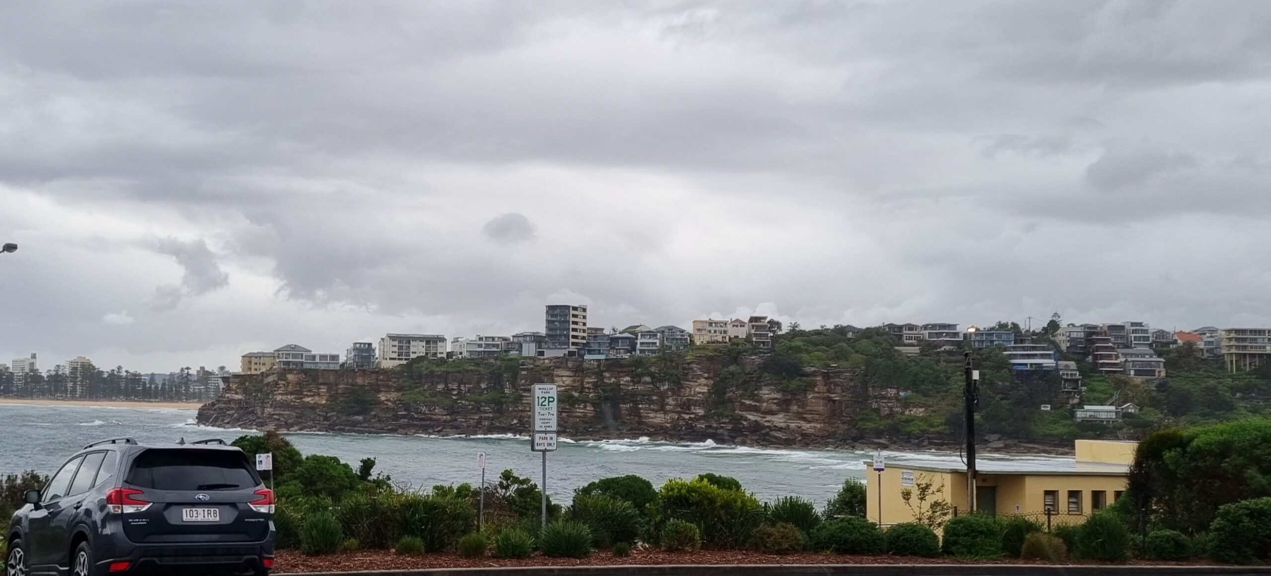
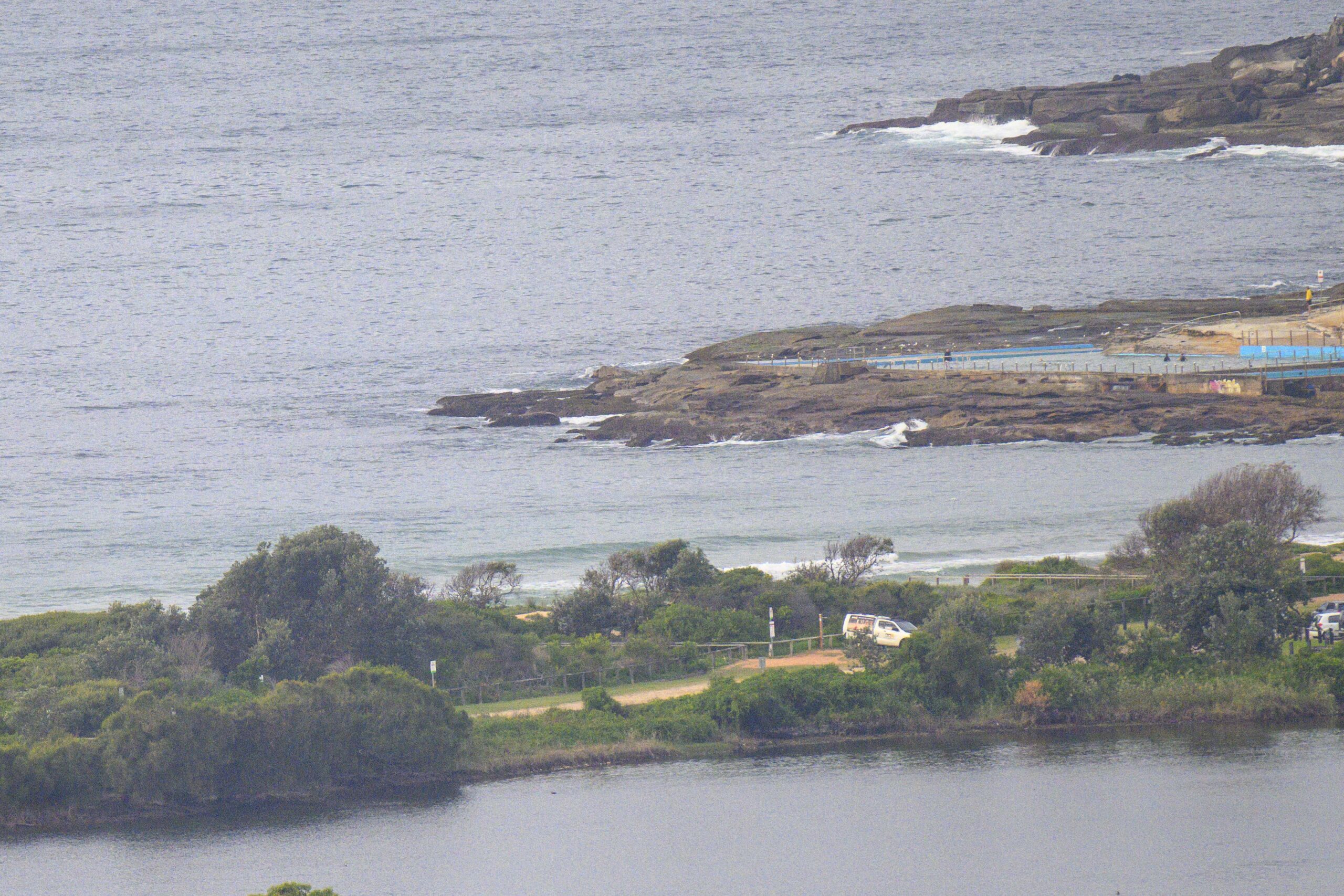
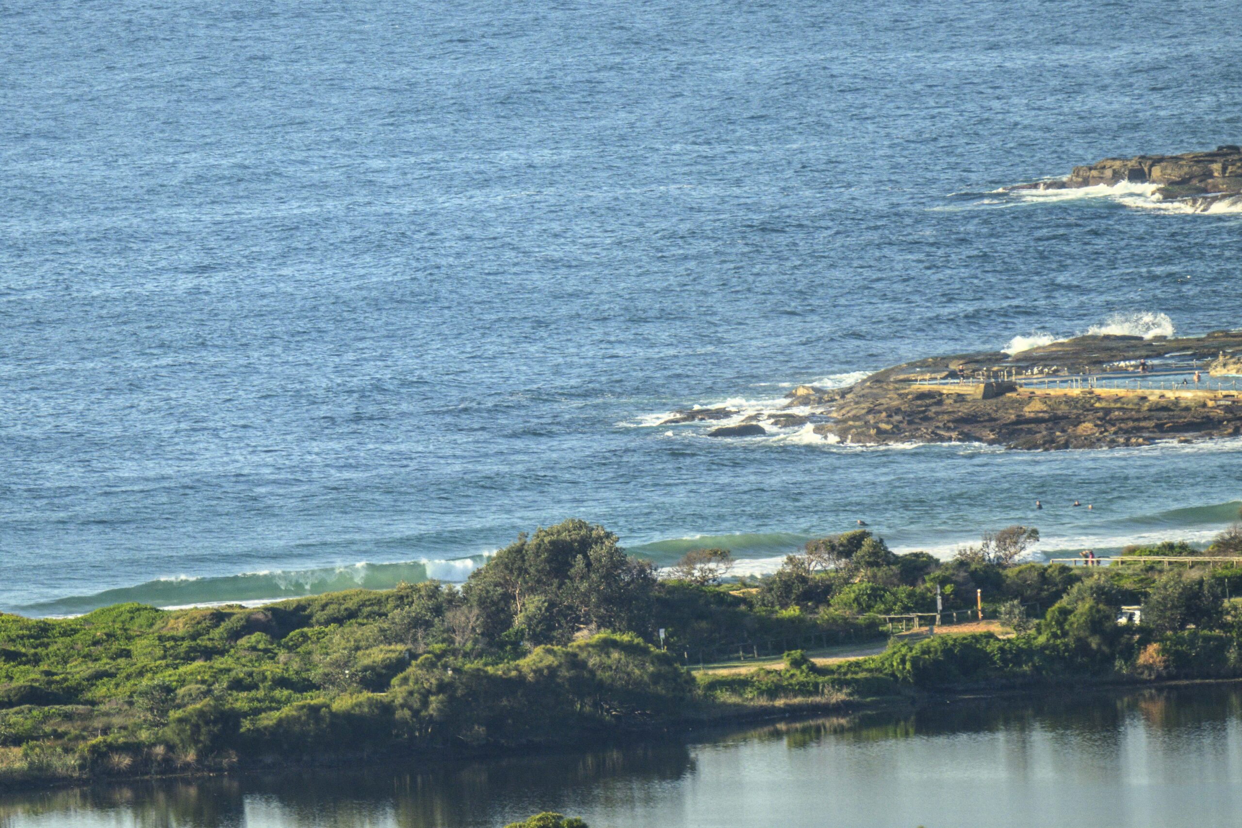
Fab day weatherwise today (Thursday), even had some waves for those agile enough to catch ’em.
Water is clear and warm enough for a swim if you can find a safe spot.. lots of channels from the previous surf conditions have created strong rips for those unfamilar-with-the ocean.
No lifesavers/lifeguards around now so as a good citizen while you’re having fun, maybe you could keep an eye out for anyone who might need a hand, a bit of guidance including people learning to surf.
Surf outlook
There’ll be waves. TG says whether they’re any good will depend on the day, the wind, the tide, the banks, the swell direction, the location. He’s pretty useless.
Check it out
Friday: somewhere in the 1-2 metre range East (Light/N winds)
Saturday: ditto North East (N 15-20)
Sunday: coming up from a Low trying to form down south, say 1-2 then around 2 ish – 2 + South East (accompanied by various S type winds)
Monday: say 2-2+metres East (various S type winds)
Tuesday: easing back in the 1-2 metre range East (Light winds)
Wednesday: down more in the 1-2 metre range East (Light/W wind)
Thursday: similar East South East (W winds).
Have Fun!
TG
Up in the Air

http://www.bom.gov.au/australia/charts/4day_col.shtml


Winds
https://www.windy.com/-33.850/151.220?-34.368,151.221,8,m:cIKaknd
Down in the Sea
Water temp is around 23.

Tides
https://www.nsw.gov.au/sites/default/files/2022-06/NSW-tide-tables-2022-2023-Pdf.pdf
Weather from the Bureau
Forecast issued at 4:20 pm EST on Thursday 27 April 2023.
Forecast for the rest of Thursday
- Summary

- Clear.
- Chance of any rain: 5%

Sydney area
Clear. Winds northeasterly 15 to 20 km/h turning northerly in the evening.
Sun protection recommended from 9:50 am to 1:50 pm, UV Index predicted to reach 4 [Moderate]
Friday 28 April
- Summary

- Min 14
- Max 27
- Mostly sunny.
- Chance of any rain: 10%

Sydney area
Mostly sunny. The chance of fog in the west in the early morning. Light winds becoming northerly 15 to 20 km/h in the middle of the day.
Fire Danger – No Rating
Sun protection recommended from 9:50 am to 1:50 pm, UV Index predicted to reach 4 [Moderate]
Saturday 29 April
- Summary

- Min 16
- Max 21
- Showers.
- Possible rainfall: 8 to 30 mm
- Chance of any rain: 100%

Sydney area
Cloudy. Very high chance of showers. The chance of a thunderstorm. Winds northerly 15 to 20 km/h becoming light before dawn then becoming south to southwesterly 15 to 25 km/h in the evening.
Sun protection recommended from 9:50 am to 1:40 pm, UV Index predicted to reach 4 [Moderate]
Sunday 30 April
- Summary

- Min 14
- Max 20
- Showers.
- Possible rainfall: 15 to 60 mm
- Chance of any rain: 95%

Sydney area
Cloudy. Very high chance of showers. The chance of a thunderstorm. Winds south to southwesterly 20 to 30 km/h tending south to southeasterly during the morning.
Sun protection recommended from 10:00 am to 1:40 pm, UV Index predicted to reach 4 [Moderate]
Monday 1 May
- Summary

- Min 14
- Max 22
- Showers.
- Possible rainfall: 0 to 15 mm
- Chance of any rain: 80%

Sydney area
Partly cloudy. High chance of showers. The chance of a thunderstorm. Winds southeast to southwesterly 15 to 20 km/h.
Tuesday 2 May
- Summary

- Min 15
- Max 23
- Possible shower.
- Possible rainfall: 0 to 1 mm
- Chance of any rain: 40%

Sydney area
Partly cloudy. Slight chance of a shower. Light winds.
Wednesday 3 May
- Summary

- Min 14
- Max 24
- Partly cloudy.
- Chance of any rain: 10%

Sydney area
Mostly sunny. Light winds becoming westerly 15 to 20 km/h during the day.
Thursday 4 May
- Summary

- Min 11
- Max 19
- Partly cloudy.
- Chance of any rain: 20%

Sydney area
Partly cloudy. Winds westerly 15 to 20 km/h tending southwesterly during the morning


