Hello Friends,
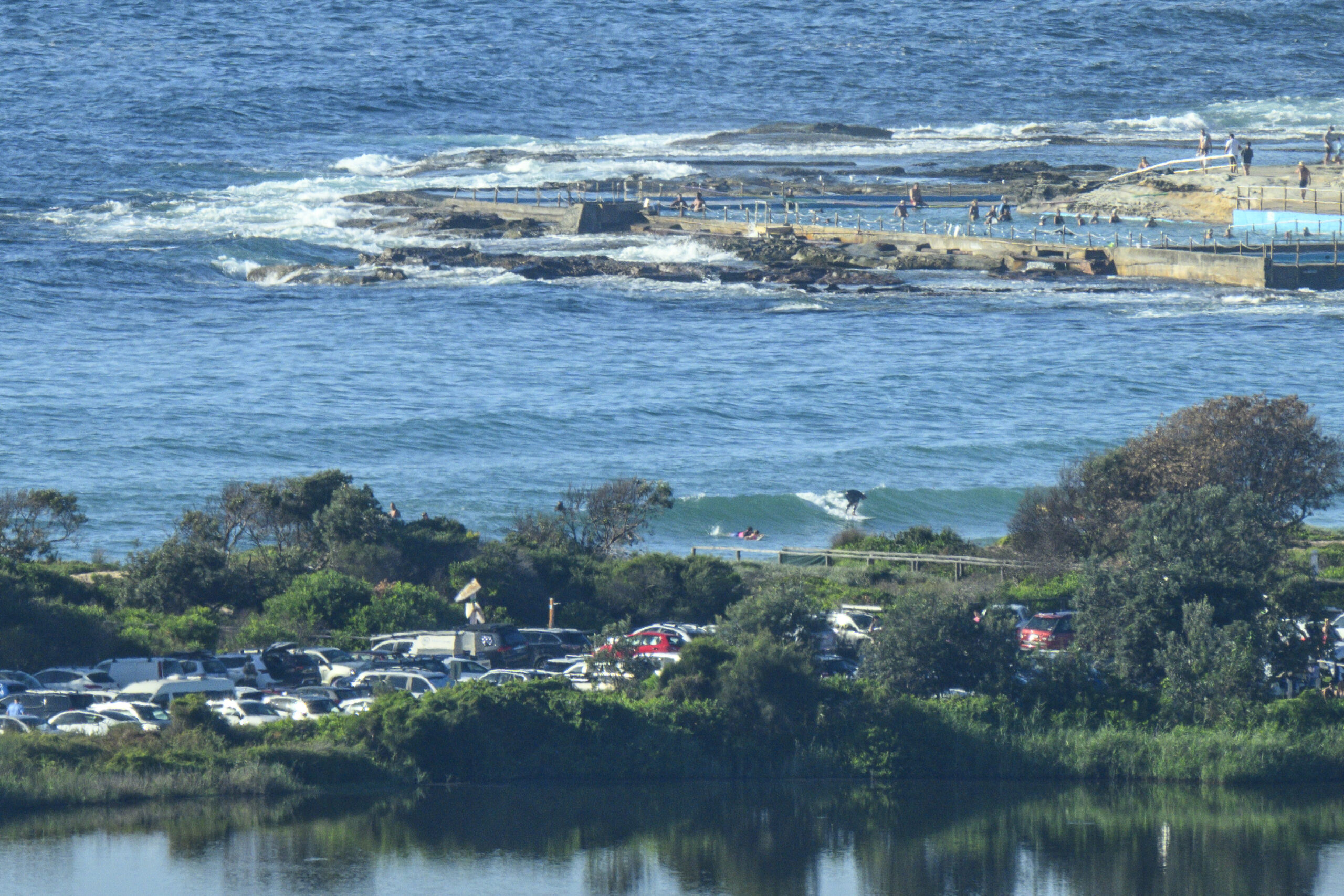
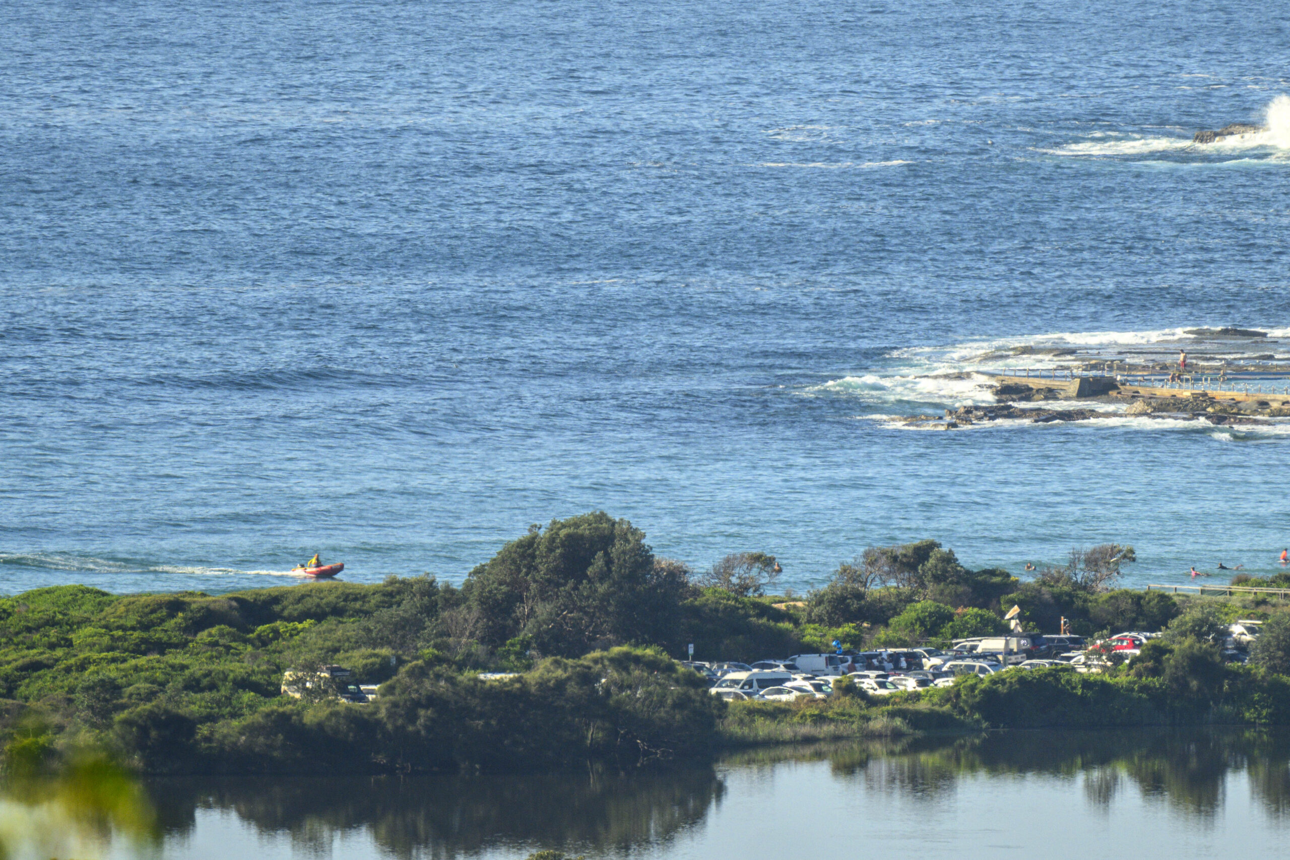
The Dee Why SLSC overflow car park looked to be full by 0900 on what promises to be another very warm and sunny day. As the pictures show, surfwise it’s only a notch above absolute flat. You might get the odd little knee high set wave, but the waits will be long. Wind was coming lightly from the north at report writing time, it’ll settle around to the NE soon and by this afternoon should be kicking along at 15-20 kts. Swell at sea was around a metre at 12 seconds from the SE, but there’s also some shorter period NE chop in the mix as well. Water is still on 24.
With any luck it’s not going to get much smaller than today’s offering across the coming week. The GFS model is projecting a swing to the NE with swell heights at or a little above a metre and periods in the 9-10 second range. Wind looks like being light for the morning sessions too.
Have a good one!
Weather Situation
A high centred over the Tasman Sea is expected to slowly drift east and maintain a ridge to the New South Wales coast through to Tuesday. A trough is forecast to affect the south coast on Tuesday, before moving north later in the week bringing a southerly change up the coast.
Forecast for Sunday until midnight
- Winds
- Northeasterly 10 to 15 knots increasing to 15 to 20 knots in the afternoon and evening. Inshore winds tending north to northwesterly below 10 knots early this morning.
- Seas
- Around 1 metre.
- Swell
- Northeasterly around 1 metre.
- Weather
- Mostly sunny.
Monday 11 March
- Winds
- Northeasterly 15 to 20 knots turning northerly in the late evening.
- Seas
- Around 1 metre, increasing to 1 to 1.5 metres by early evening.
- Swell
- Northeasterly around 1 metre, increasing to 1 to 1.5 metres during the morning.
- Weather
- Partly cloudy.
Tuesday 12 March
- Winds
- Northerly 15 to 20 knots.
- Seas
- 1 to 1.5 metres.
- Swell
- Northeasterly 1 to 1.5 metres.
- Weather
- Mostly sunny.


