Hello Friends,
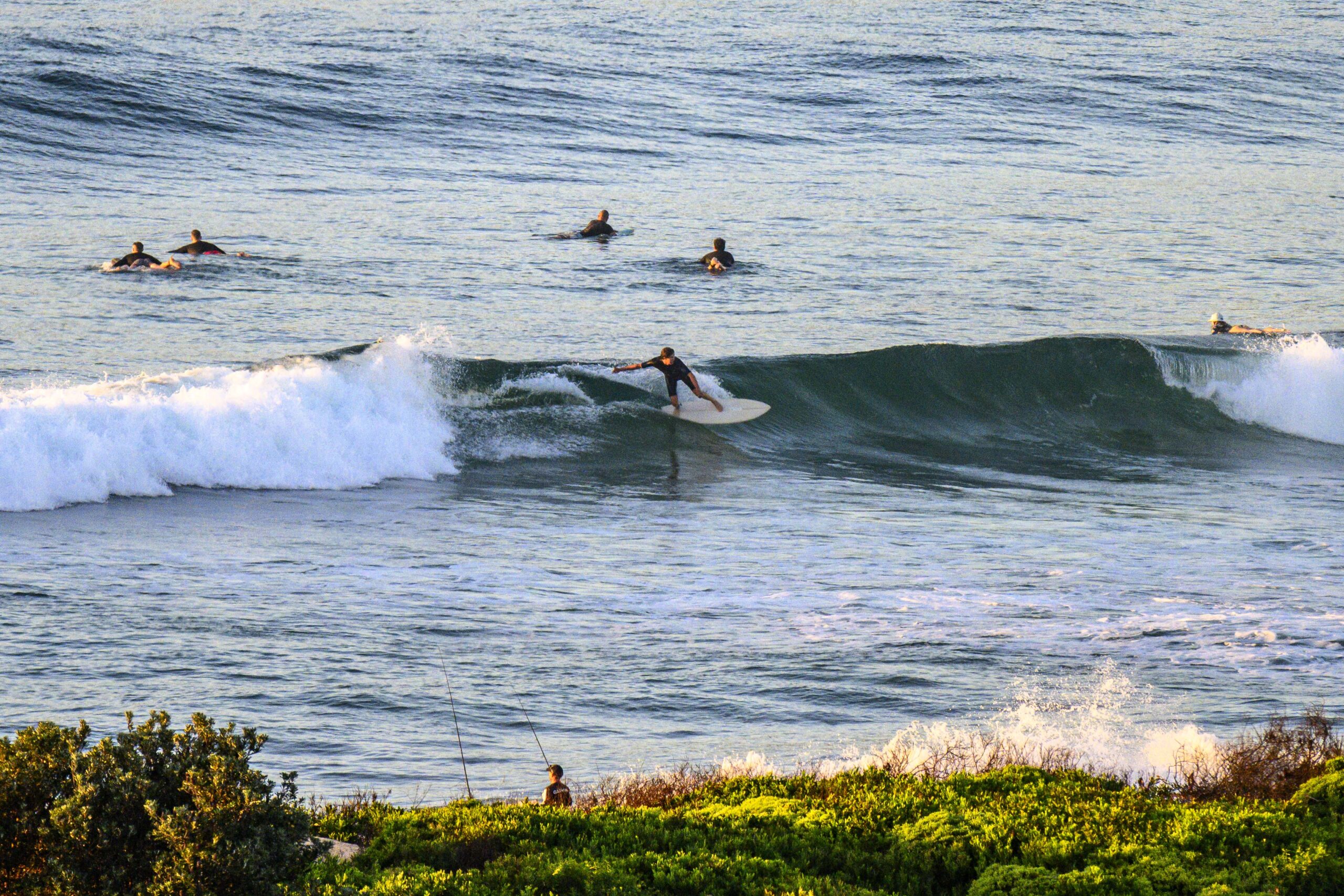
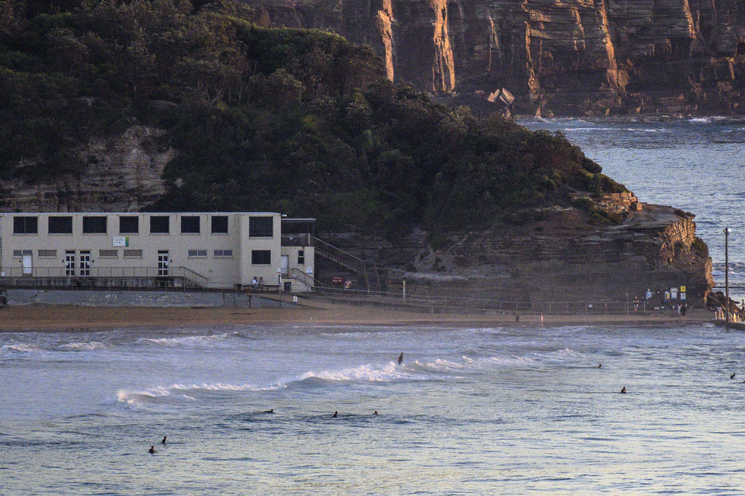
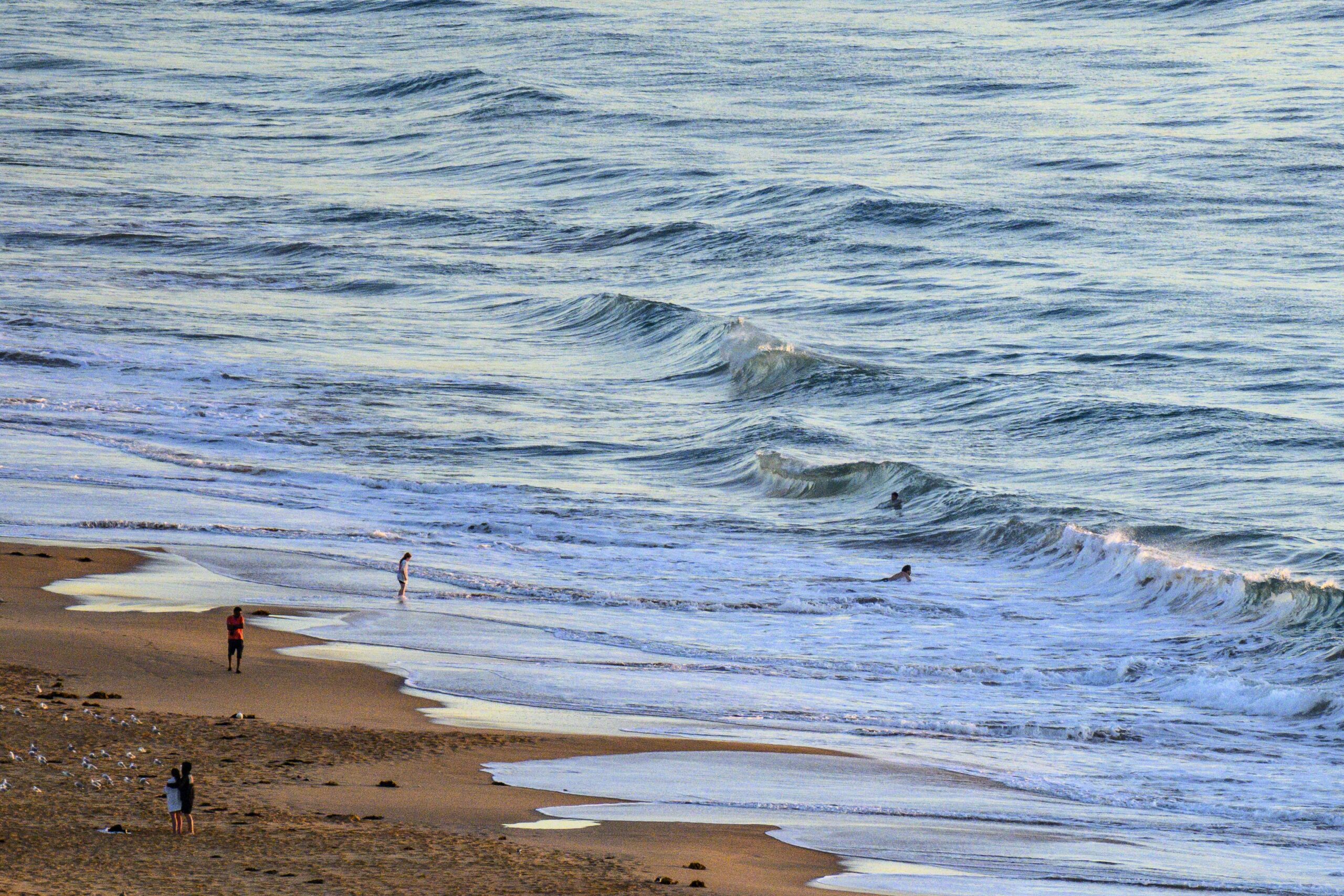
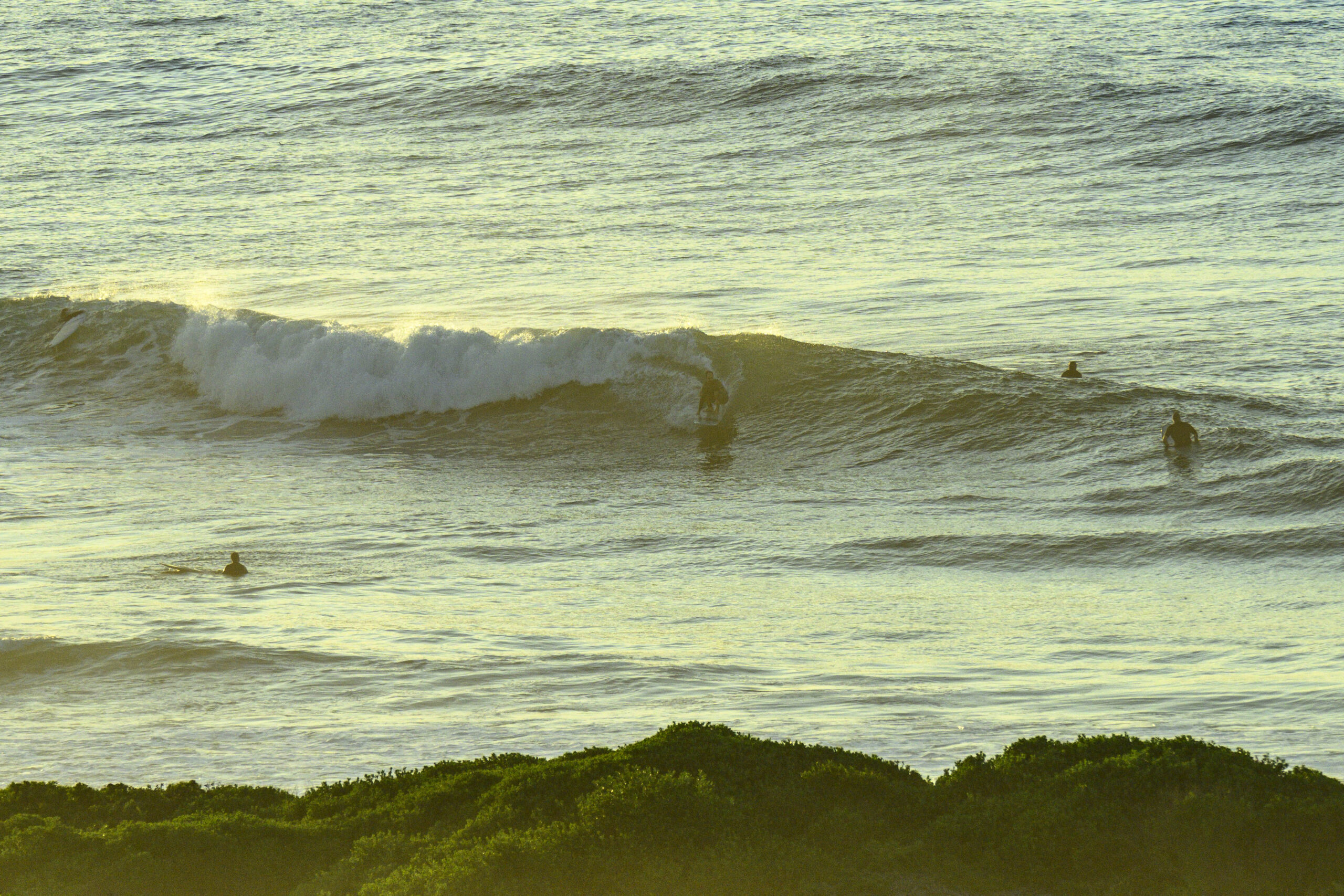
We had a light NNW breeze at daybreak along the beaches and out at sea, the swell was a metre from the SSE at 12 seconds apart. You’ll be doing a fair amount of waiting this morning for a rideable one at the south exposures, and even then it’s struggling to be much above the waist high mark. Worth a paddle for the exercise and the 24 degree water at least.
Tomorrow looks, if anything, even smaller. The models are currently projecting the swell to gradually move around to the easterly quarters across the coming week and to increase a little in size. However, right now it looks like going from very marginal ankle-to-knee, to marginal knee to waist high by midweek. At that point the models show a return to showery, grey weather with a more substantial SE pulse starting to fill in from potentially Friday morning. We’re talking week-ahead projections here, so who knows if the pulse will arrive and if, as the GFS currently shows, it’ll develop into 2-3 metre SE swell by Saturday…
Go well with your Saturday one and all!

Weather Situation
A high centred over the Tasman Sea is expected to slowly drift east and maintain a ridge to the New South Wales coast through to Tuesday. A trough is forecast to affect the south coast on Tuesday.
Forecast for Saturday until midnight
- Winds
- North to northeasterly about 10 knots becoming northeasterly 10 to 15 knots in the middle of the day.
- Seas
- Around 1 metre.
- Swell
- Southerly around 1 metre.
- Weather
- Mostly sunny.
Sunday 10 March
- Winds
- Northeasterly 15 to 20 knots.
- Seas
- Around 1 metre.
- Swell
- East to northeasterly around 1 metre.
- Weather
- Mostly sunny.
Monday 11 March
- Winds
- Northeasterly 15 to 20 knots turning northerly during the evening.
- Seas
- 1 to 1.5 metres.
- Swell
- Northeasterly around 1 metre, increasing to 1 to 1.5 metres during the morning.
- Weather
- Partly cloudy.


