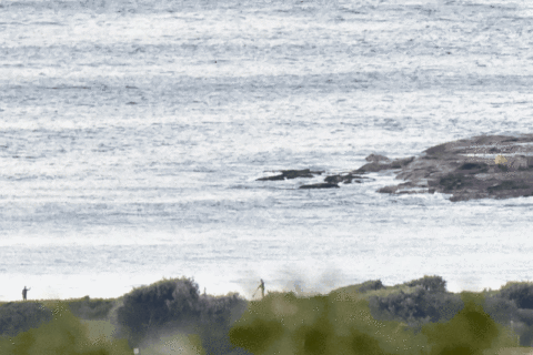
Looks like a layday at Dee Why this morning
Hello Friends, Swell faded yesterday afternoon and it looks to still be marginal. The MHL buoy is showing a metre from the SSE at about 10 seconds. Tide’s on the way down to the low at 1030 as I write this and unfortunately there’s not much going on at Dee Why. There were a couple […]
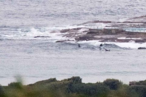
Tiny under dark skies this morning at Dee Why
Hello Friends, This morning looks like being the calm before the weekend storms. Wind was light offshore and the 1.3 metre 8-sec SSE swell was producing ankle to knee high waves at the point and maybe knee to waist along the beach. High tide was at 0620 and it’s now running out to the low […]
Back to tiny, but not flat yet

Hello Friends, Quite a bit smaller this morning, but not flat. Swell has shifted from the east to the SSE, dropped to about a metre and the power’s been dialled back to 9 seconds. Went out for a quick look around for you this morning (is that worth a pledge? 🙂 ). There were cute, […]
Tick, tick, tick…
Hello Friends, Nothing much going on this morning at Dee Why. Pretty much in line with expectations really. Wind is ramping up from the NW and by this afternoon it should be 20-30 kts. Unfortunately it won’t be accompanied by much of anything in the way of waves today. But a change is coming. The […]
Minor Monday
Hello Friends, Only a trickle – but there is a trickle – of knee to waist plus SSE swell this morning on the Northern Beaches. Had the opportunity to see Curly as well as Dee Why and I think it’s safe to say that both stretches of the beach were very similar. There were lots […]
Tiny and NE by mid-morning
Hello Friends, Extra keeness will be required to find a wave at your fave south swell spot today. Energy levels slipped down half a cog overnight and swell is now only about a metre at sea from the SSE with an average period of a touch over 9 seconds. Tide’s high at 1045 and will […]
Glassy little wave morning
Hello Friends, Glassy for the early and little knee to waist high wind swell waves to be had at spots exposed to the SE. Tide hit high at around 0735. Beautiful day out there, but the NE’r is due to kick in at any moment… Not too impressed with this morning’s outlook. If the models […]
Waiting day
Hello Friends, A warm spring day coming up for Sydney. Swell is at a low ebb unfortunately. It’s showing a metre from the SSE at about 9 seconds out at sea, so while there’s nothing in the south corners, I suppose you might find a little bump for a slide at spots with optimal exposure. […]
Back to tiny Sydney
Hello Friends, A few little waves to be had for this morning’s early risers. Those equipped with the most buoyant options will make the most out of the waist high (at best) sets. From the shape of the swell models, the morning is likely to offer the best shot at something. The energy levels are […]
Very small at Dee Why
Hello Friends, Looks as though I chose a reasonable morning to sleep in! According to the MHL data at 0900, the main swell was coming from the SSE at about a metre at around 9 seconds. For the folk in the water at Dee Why that was translating into long waits and sets struggling to […]