Hello Friends,
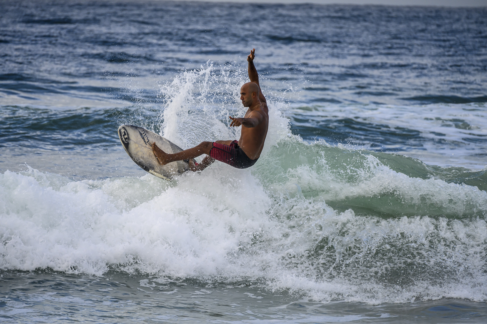
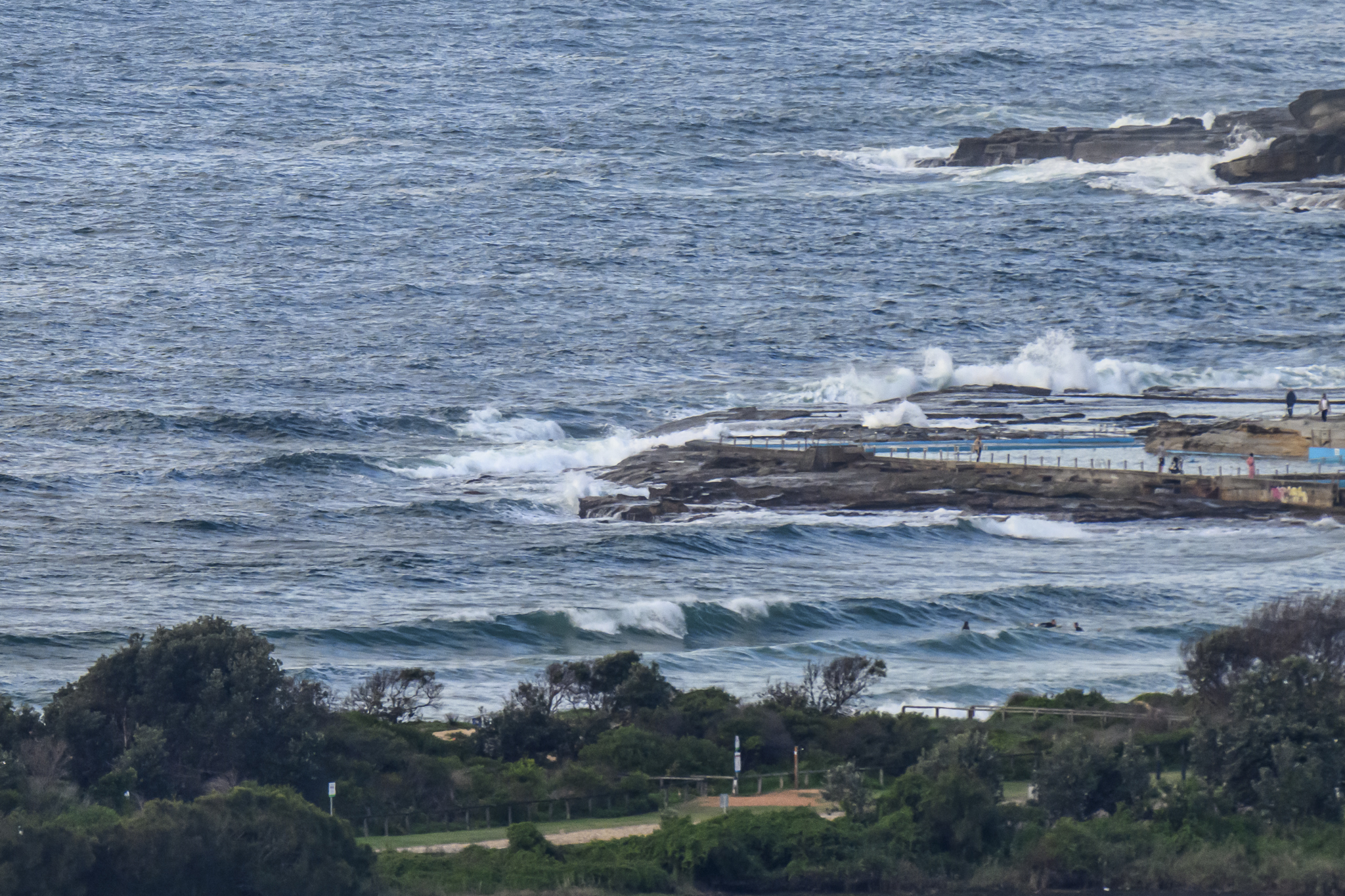
Swell has dropped away overnight and this morning at 0830 was coming from the ESE at about 1.5 metres with a wind swelly period of 7 seconds. There were still a few weakish but catchable waist high sets turning up at Dee Why and at North Narrabeen. Tide was coming in after the low at 0710ish. High will be around 1340.
Surf prospects look smaller again for tomorrow but then the models are pointing toward an extended run of sizable (3+ metres) south swell getting started late in the weekend and lasting well into next week.
Have yourself a top old Thursday!
Weather Situation
A high pressure system off the coast of New South Wales is moving to the Tasman Sea while a trough is entering western New South Wales. Northerly winds will develop ahead of this trough, which will bring a west to southwesterly change to the coast during Thursday and into Friday morning.
Forecast for Thursday until midnight
Winds
Northerly 15 to 20 knots turning northwesterly 10 to 15 knots during the afternoon and evening.
Seas
1 to 1.5 metres.
Swell
Southeasterly about 1.5 metres.
Weather
The chance of thunderstorms.
Friday 27 July
Winds
Northwesterly 10 to 15 knots turning west to southwesterly 15 to 25 knots early in the morning.
Seas
1 to 2 metres.
Swell
Easterly about 1 metre.
Saturday 28 July
Winds
Southwesterly 20 to 25 knots.
Seas
1.5 to 2 metres increasing to 3 metres during the afternoon.
Swell
Easterly about 1 metre.