Hello Friends,
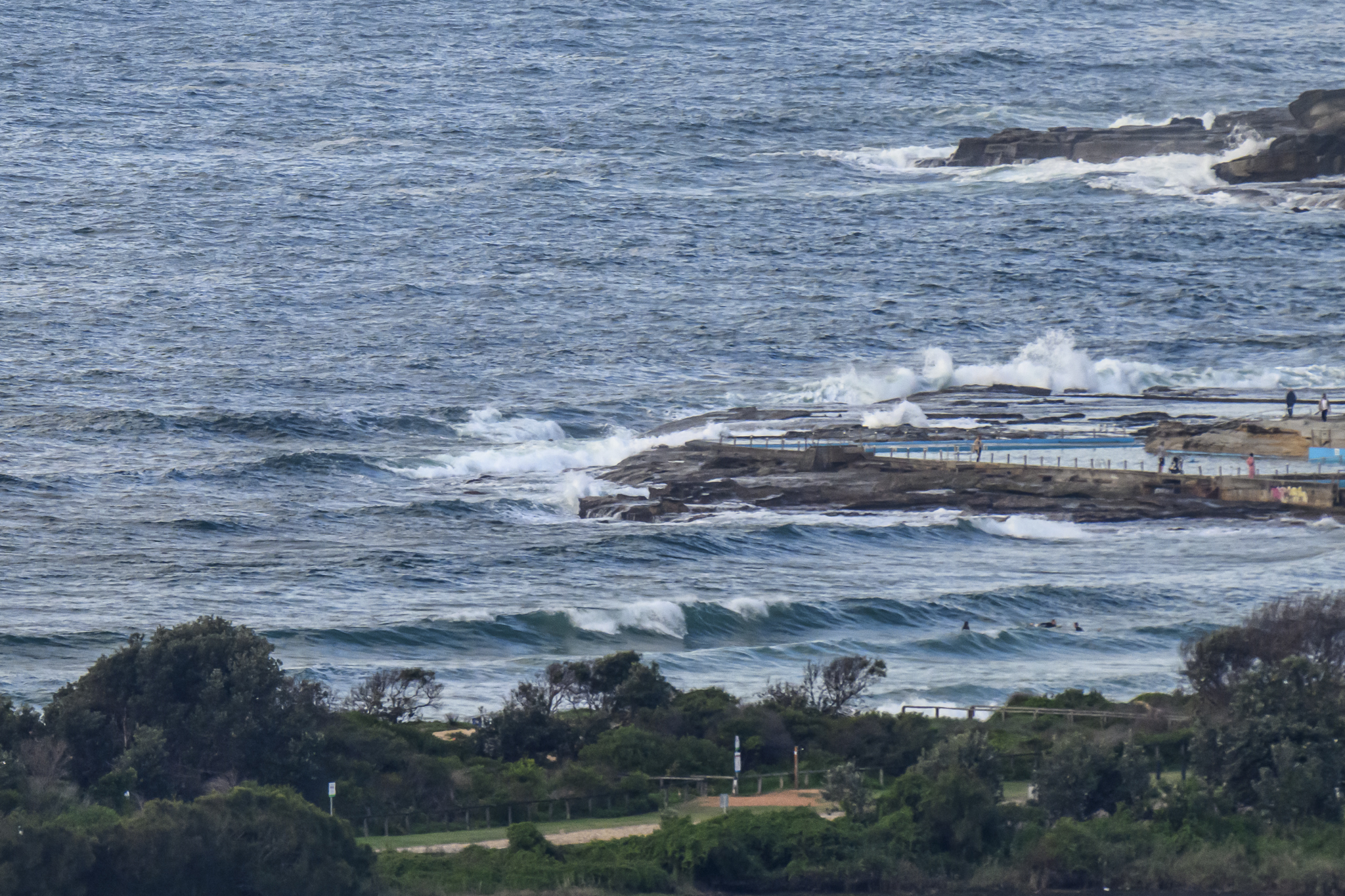
Should be an interesting day. As of 0800 it was as flat as it could get at Dee Why. Meanwhile, down the coast at Eden it’s 4 metres at 12 seconds from the south. Add in seas and they’re peaking at 8(!) metres offshore where the buoy is. Batemans Bay started ramping last night and as of 0600 was 2 to 4 metres at 9 sec. It’s definitely coming our way though. I expect magnet spots to be showing pretty obviously in the next hour or two.
Wind is set to go hard today. The Bureau has a gale warning up for westerlies of 20-30 kts.
Tide’s coming into a high at 1150, so that should push things along too.
Outlook for the week ahead is basically waves, waves and more waves at south swell spots. This pulse looks likely to peak tomorrow in the double overhead range at magnets, then to fall back on Tuesday briefly before coming up again into the well overhead range through to Friday.
My plan is to be out and about with a camera today, so wave hi if you see me – and stay happy!
ps While I was working on the report, my mate Paul from Surfrider was up at Mona Vale as I was writing this with the boardriders. The under-13s were in the water and he sent me a pic:


Weather Situation
A deep complex low is located east of Tasmania. It has brought a significant cold outbreak to New South Wales. Strong to gale force winds should ease by late Sunday as the low moves away and the next high pressure ridge extends across from the west to be centred to the west of Tasmania for several days. This high should direct a southwest to southerly airstream along the coast before moving to the southern Tasman Sea later in the week.
Forecast for Sunday until midnight
Gale Warning for Sunday for Sydney Coastal Waters
Winds
Westerly 20 to 30 knots, reaching up to 35 knots offshore early in the morning. Winds decreasing to 15 to 20 knots in the late evening.
Seas
2.5 to 4 metres, decreasing below 3 metres during the morning, then decreasing below 2 metres later in the evening.
Swell
Southerly 1 to 1.5 metres, increasing to 2 to 3 metres during the morning, then increasing to 3 to 4 metres later in the evening.
Caution
Large and powerful surf conditions are expected to be hazardous for coastal activities such as crossing bars by boat and rock fishing.
Monday 5 May
Winds
West to southwesterly 15 to 20 knots.
Seas
1 to 1.5 metres, decreasing below 1 metre during the morning, then increasing to 1 to 1.5 metres later in the evening.
Swell
Southerly 3 to 4 metres, decreasing to 2.5 to 3 metres around midday.
Caution
Large and powerful surf conditions are expected to be hazardous for coastal activities such as crossing bars by boat and rock fishing.
Tuesday 6 May
Winds
Westerly 15 to 20 knots turning southerly 20 to 30 knots from the late morning.
Seas
1 to 1.5 metres, increasing to 2 to 3 metres during the afternoon.
Swell
Southerly 1.5 to 2.5 metres.