Hello Friends,
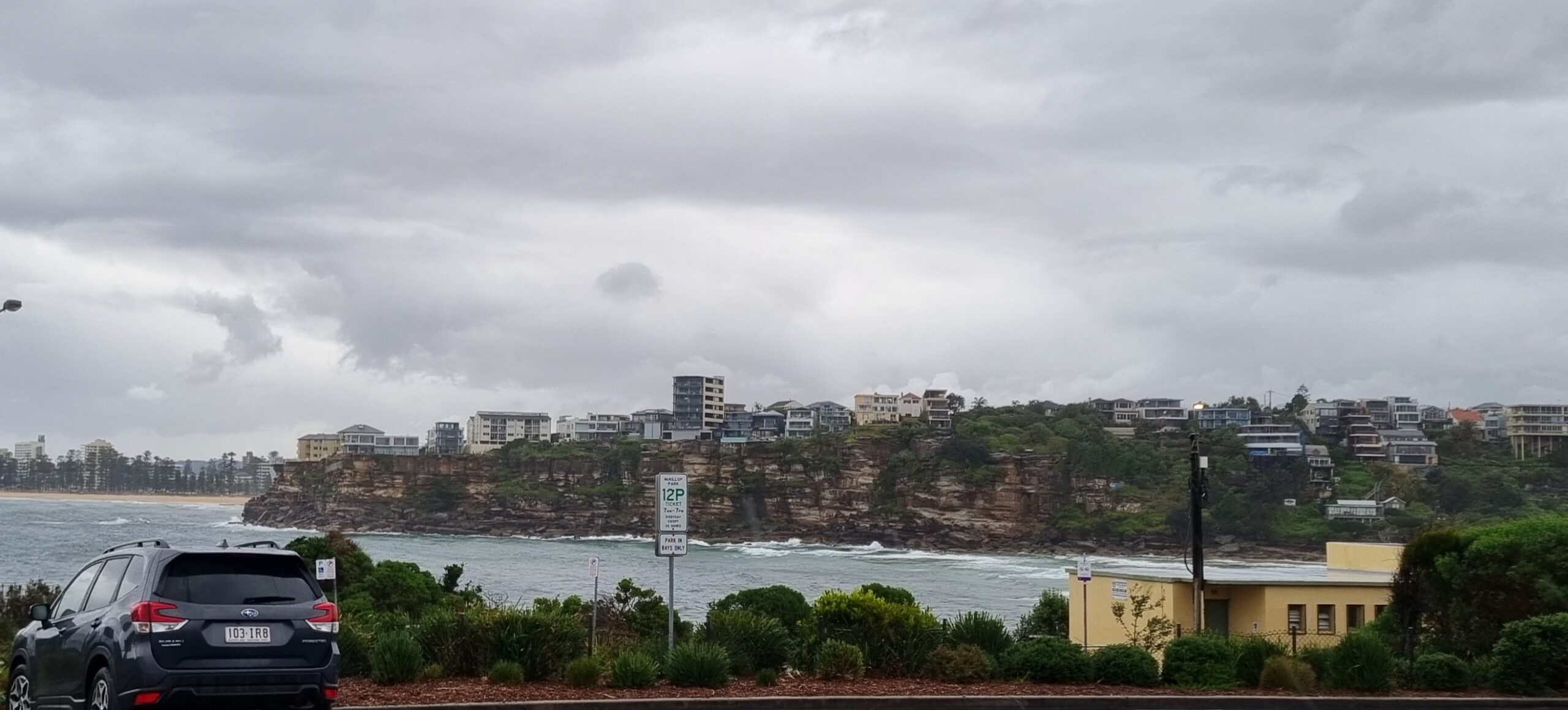
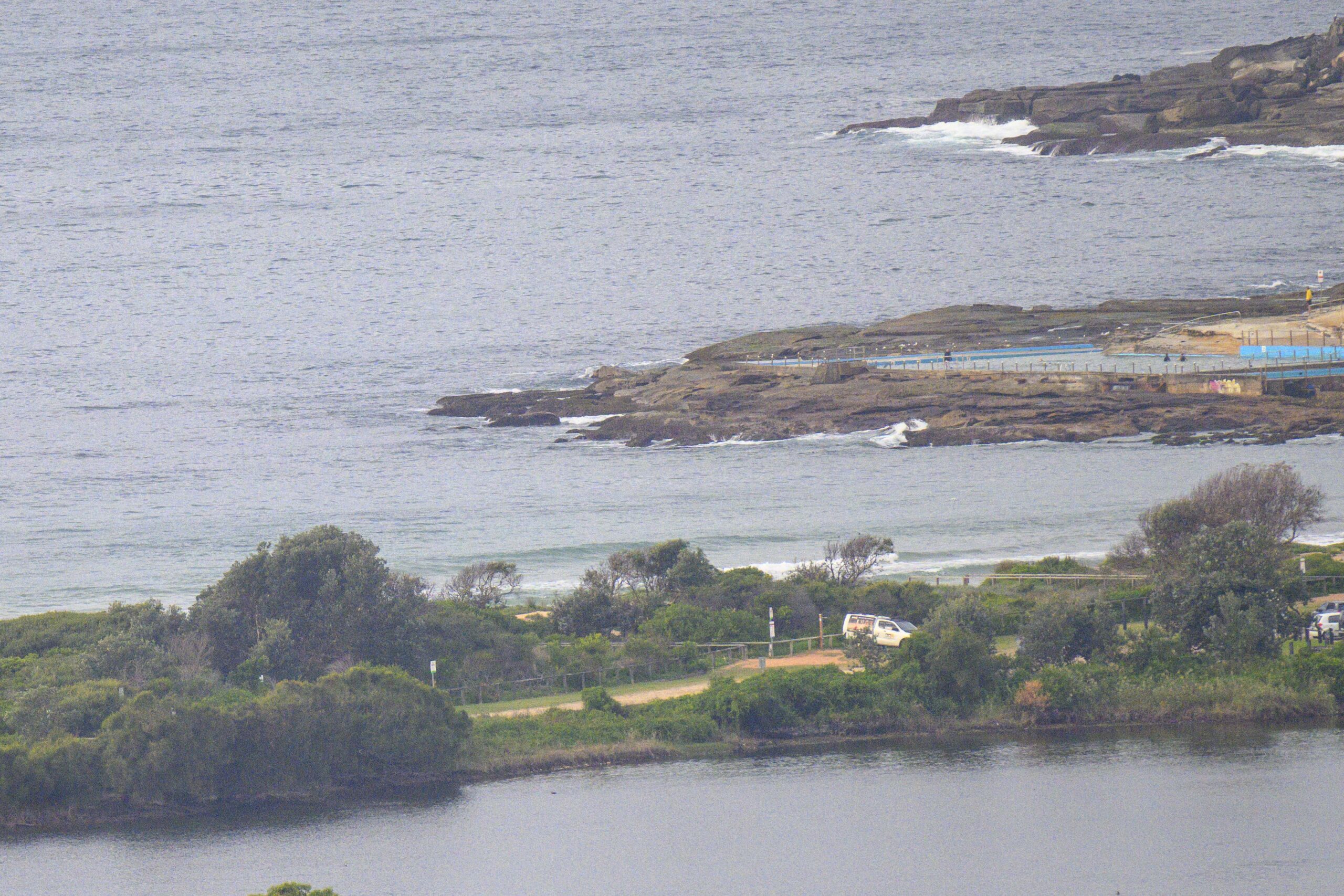
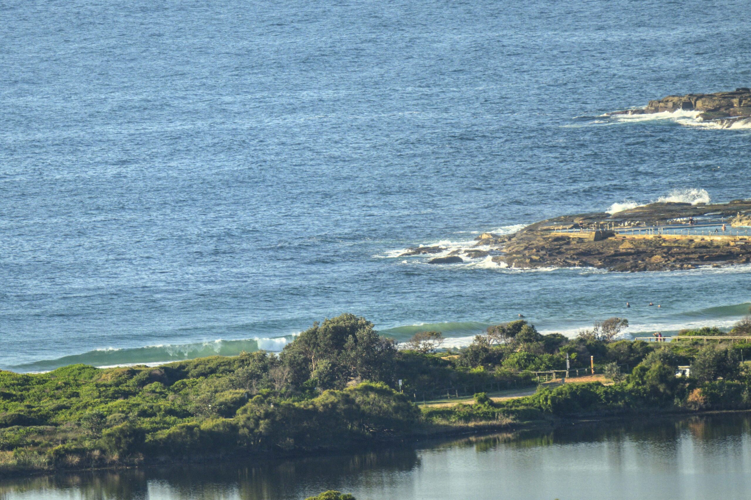
Quick update for anyone checking in on Sunday evening…despite the junky start this morning, it cleaned up steadily across the day and by evening instead of being NE, the wind was offshore and at the same time, the swell came up per the predictions. As of 1600 it was averaging around 2.3 metres from the south and east. Average period of the ESE component was around the 7 second mark, while the south swell was closer to 13 sec.
Tomorrow the wind will go pretty hard according to the Bureau, but it’ll start out of the NW and swing SW later, so at least it won’t be onshore. We should continue to have the mix of east and SSE swell again, so there’s definitely some good potential. Tide will be low at 0800 on Monday. Could be a good one…
Catchya in the morning!


Weather Situation
A complex low pressure system is located off central parts of the coast, and is forecast to move south to lie near southern parts of the Illawarra coast tonight. The low is likely to move north again then northeast during Monday. Strong to gale-force winds are expected to affect southern parts of the NSW coast from early Sunday morning, before extending northward through central parts of the coast on Monday. The low is expected to move slowly away to the east during Tuesday and Wednesday.
Forecast for Sunday until midnight
- Winds
- Westerly 10 to 15 knots tending northwesterly 15 to 20 knots in the late evening.
- Seas
- Below 1 metre, increasing to 1 to 1.5 metres offshore later in the evening.
- Swell
- Easterly 2.5 to 3 metres.
- Weather
- The chance of thunderstorms.
- Caution
- Large and powerful surf conditions in the evening are expected to be hazardous for coastal activities such as crossing bars by boat and rock fishing.
Monday 18 August
Gale Warning for Monday for Sydney Coast
- Winds
- Northwesterly 10 to 15 knots shifting south to southwesterly 20 to 30 knots in the early afternoon. Winds reaching up to 40 knots during the afternoon and evening.
- Seas
- Around 1 metre, increasing to 1.5 to 2 metres around midday, then increasing to 2.5 to 4 metres during the afternoon.
- 1st Swell
- Southerly about 1 metre.
- 2nd Swell
- East to northeasterly 1 to 2 metres developing during the late evening.
- Weather
- The chance of thunderstorms from the early morning.
- Caution
- Large and powerful surf conditions are expected to be hazardous for coastal activities such as crossing bars by boat and rock fishing.
Tuesday 19 August
- Winds
- Southerly 20 to 30 knots.
- Seas
- 2 to 3 metres.
- Swell
- East to northeasterly 1.5 to 2.5 metres.
- Weather
- The chance of thunderstorms, mainly offshore.
Wednesday 20 August
- Winds
- Southerly 20 to 30 knots decreasing to 10 to 15 knots during the evening.
- Seas
- 2.5 to 3 metres, decreasing to 1 to 2 metres during the evening.
- Swell
- South to southerly 2 to 3 metres.


