
Hello Friends,
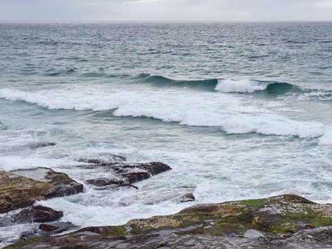
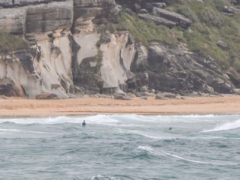
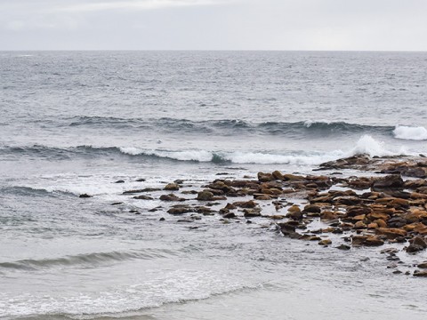
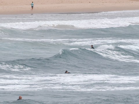
Had to make a run into town this morning, so a bit late. Not that it matters sadly. There’s really not much happening at the beach, even with all the south wind. It’s around the two metre mark out at sea, but the period’s only 7 seconds, so you’d be doing really well to find anything above the waist high mark. And even then it’ll be a challenge to pick ’em up because they’re so weak. Tide was low at 0730, so there’s a little push from that, but the energy levels are so minimal, it’s probably not terribly significant.
It looks as though tomorrow will be windy again and maybe a touch bigger as a couple of windswells mix from the east and south east. Wednesday looks a bit more interesting with the models projecting WNW winds early and a couple of metres of 7-8 second windswell from the NE.
A good day for other activities as we wait for Huey to pull himself together.
Je suis Charlie!

Weather Situation
A high pressure system near New Zealand is moving southeast maintaining a ridge towards the New South Wales north coast, while a low pressure trough moves along the central coast. A southerly change associated with this trough will move northwards during Monday, although it’s position will be dependent on the development of a low pressure system offshore. During Tuesday the low and trough are forecast to weaken as a new high moves over the Tasman Sea, reinstating northerly winds along the coast. The next significant southerly change is expected later Wednesday or Thursday as a trough and a low cross the Tasman Sea.
Forecast for Monday until midnight
Strong Wind Warning for Monday for Sydney Coast
- Winds
- Southerly 20 to 30 knots.
- Seas
- 2 to 3 metres.
- 1st Swell
- Southerly 1 to 1.5 metres, tending southeasterly 2 metres during the morning.
- 2nd Swell
- Easterly around 1 metre.
- Weather
- Partly cloudy. 60% chance of showers.
Tuesday 13 January
Strong Wind Warning for Tuesday for Sydney Coast
- Winds
- Northeast to southeasterly 15 to 20 knots tending northwest to northeasterly in the morning then becoming northeasterly 15 to 25 knots in the early afternoon. Winds reaching up to 30 knots in the late evening.
- Seas
- 1 to 1.5 metres, increasing to 2 to 2.5 metres during the afternoon.
- 1st Swell
- Southeasterly 1.5 to 2 metres, decreasing to around 1 metre during the morning.
- 2nd Swell
- Easterly below 1 metre, increasing to 1 to 1.5 metres during the morning, then tending northeasterly 1 to 1.5 metres by early evening.
- Weather
- Partly cloudy. 60% chance of showers.
Wednesday 14 January
- Winds
- North to northeasterly 20 to 30 knots tending northwest to southwesterly 15 to 20 knots during the evening.
- Seas
- 1.5 to 2.5 metres.
- Swell
- Northeasterly 1 to 1.5 metres, increasing to 1 to 2 metres offshore.
- Weather
- Cloudy. 80% chance of rain. The chance of a thunderstorm in the afternoon.


