Hello Friends,
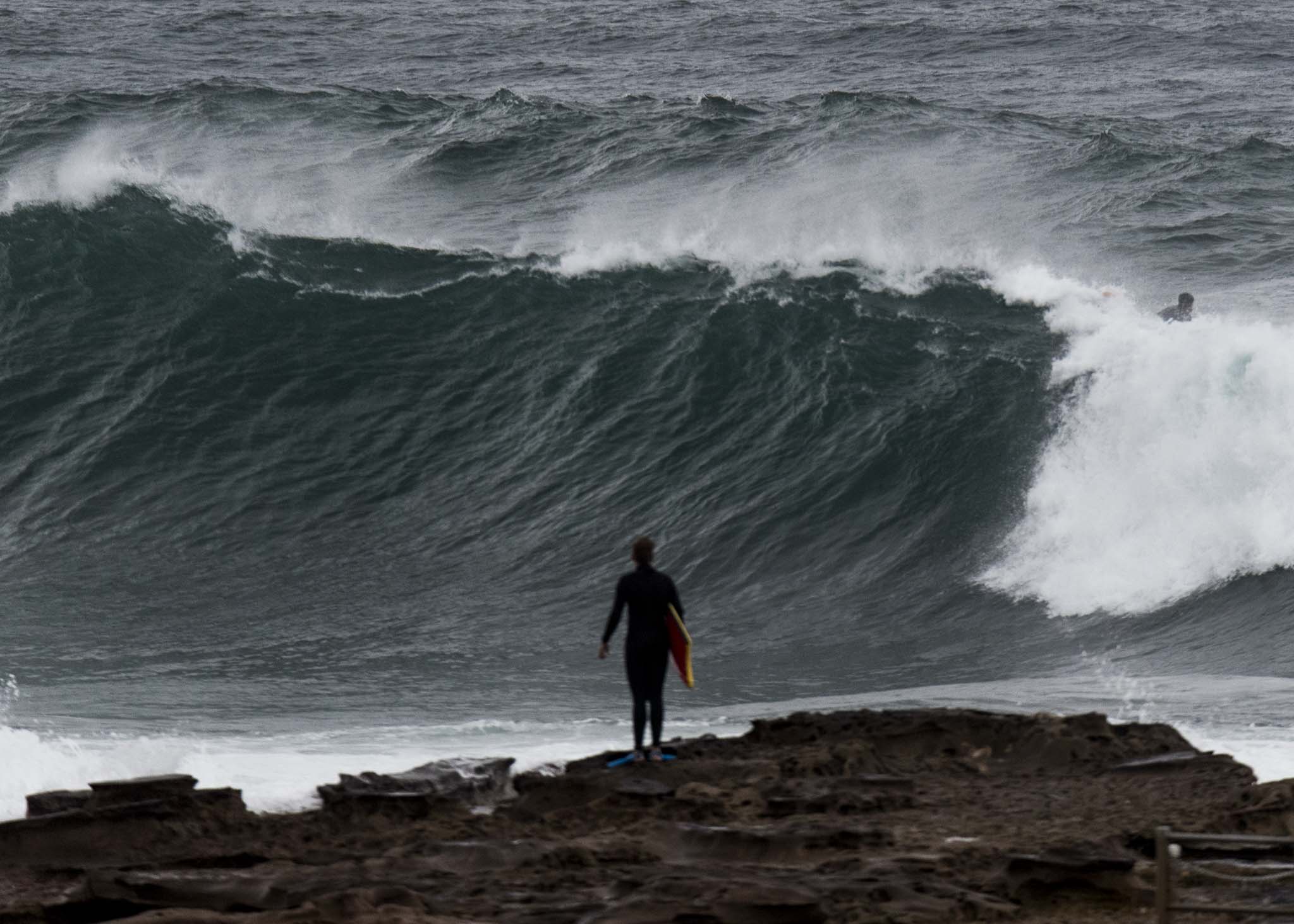
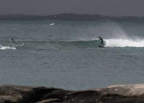
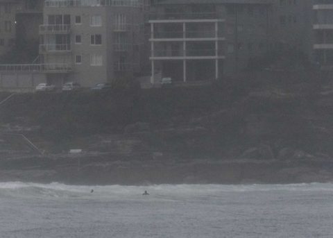
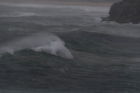
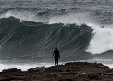
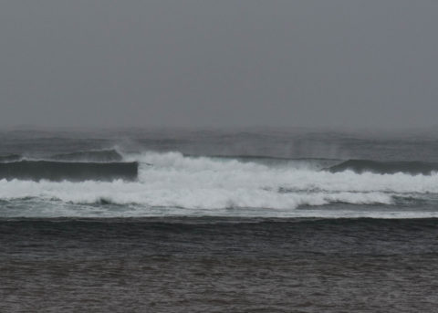
You’d want to be keen given the chilly, windy, rainy conditions this morning. There is swell and the wind was 15-20 kts at North Head when I grabbed the snaps. The Bower looked pretty clean but only waist to chest on sets. Plus there was the occasional lightning strike out at sea… a few bods were testing their immune systems up at Queensie where set waves were into the head plus range and surface conditions clean. Freshy was overwhelmed by the swell and no one was silly enough to be in the water. Likewise, Curly was big but somewhat chaotic and therefore empty. A couple of bodyboarders were having a go at the point, but the swell was lumpy and sectiony and again, not a terribly attractive proposition. Didn’t see anyone in the water from there north to Longy. Very small and clean at Collaroy and no takers.
The MHL buoy was showing 4.7 metres at 11 seconds from the SSE (158°) as of 0700. So the bulk of the energy is staying out to sea. Swell should be hitting its peak around now and then it’ll gradually drop back to below the 3 me mark tomorrow. As it fades slowly on Thursday, the models show the direction going more SE, so we should see solid conditions into the weekend. Wind predictions show the velocity dropping as it gets more westerly. Could be good….
Have a great Tuesday everyone!
Weather Situation
A low pressure system near New Zealand with a trough to the northwest is slowly moving east and weakening and a high pressure system is moving towards Tasmania. The two systems are directing vigorous southwest to southeasterly winds along the New South Wales coast. Winds will ease later today as the high moves over the southwestern Tasman Sea extending a ridge along the coast.
Forecast for Tuesday until midnight
Gale Warning for Tuesday for Sydney Coast
Winds
Southerly 25 to 30 knots, reaching up to 35 knots inshore during the morning.
Seas
2.5 to 4 metres.
Swell
Southerly 3 to 4 metres, decreasing to 3 metres during the afternoon.
Weather
Cloudy. 90% chance of showers. The chance of a thunderstorm.
Caution
Large and powerful surf conditions are expected to be hazardous for coastal activities such as crossing bars by boat and rock fishing.
Wednesday 20 June
Winds
Southerly 15 to 25 knots decreasing to about 10 knots in the late evening.
Seas
1.5 to 2.5 metres, decreasing to 1 to 1.5 metres around midday.
Swell
Southeasterly 2.5 to 3 metres.
Weather
Partly cloudy. 80% chance of showers.
Caution
Large and powerful surf conditions in the early morning are expected to be hazardous for coastal activities such as crossing bars by boat and rock fishing.
Thursday 21 June
Winds
South to southeasterly about 10 knots tending south to southwesterly 10 to 15 knots during the morning then becoming variable about 10 knots during the day.
Seas
Below 1 metre.
Swell
Southeasterly 1.5 to 2.5 metres.
Weather
Partly cloudy. Chance of showers.


