Hello Friends,
Raining lightly but steadily when I cracked the peepers for the first time this morning. Over at North Head the wind was out of the SSW at 10-18 kts. The forecast calls for it to come up into 20-30 kt range from the SE before long.
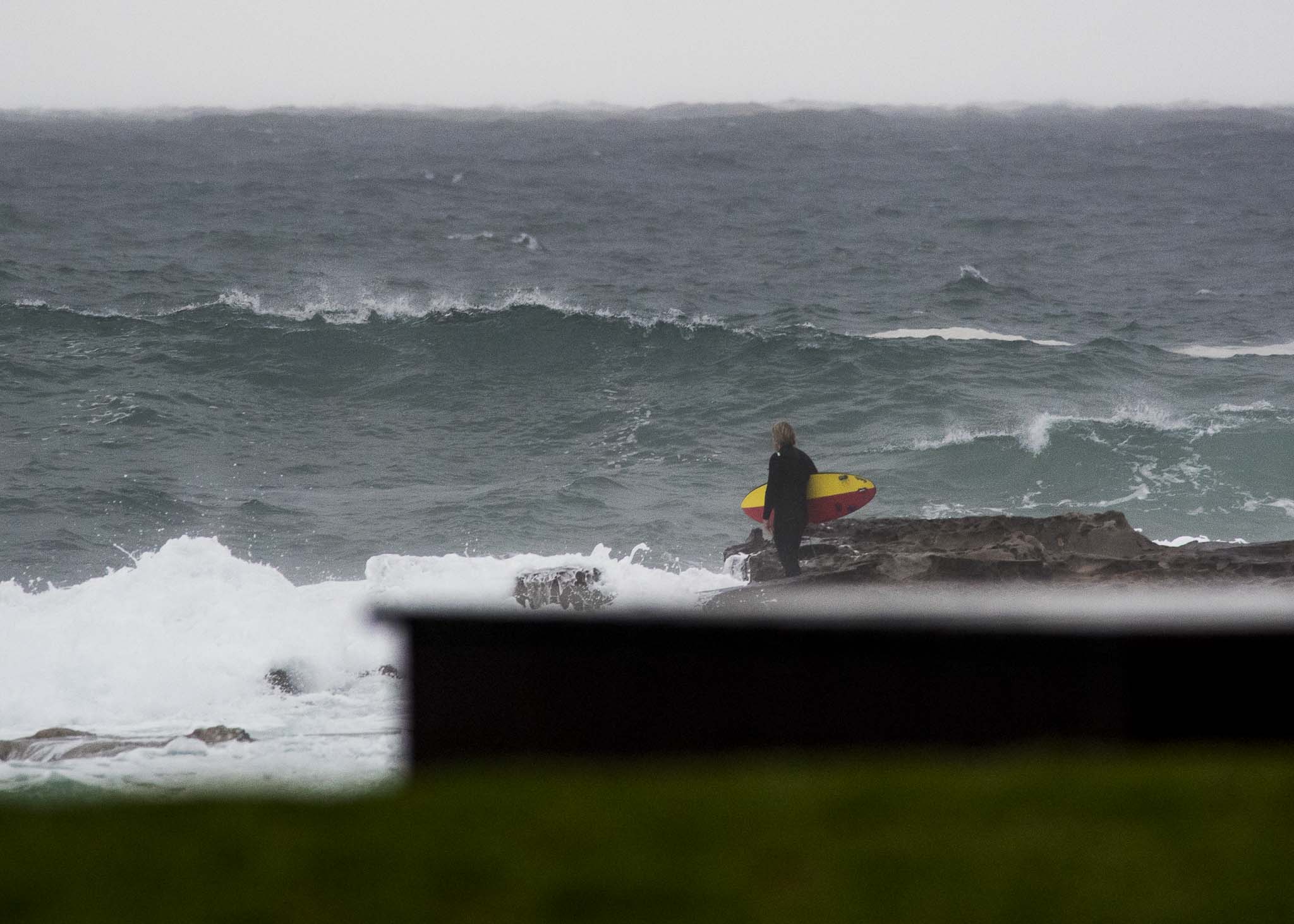
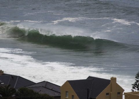
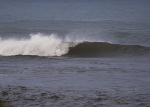
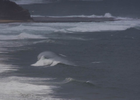
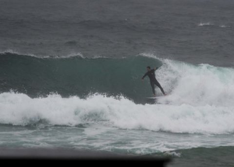
There’s a warning for large and powerful surf conditions today, and it’ll be cloudy and showery until Monday at least.
As of 0400 the MHL buoy was seeing 3.2 metres at a shade under 9 seconds from 150-154° (SSE). There was also some longer period but small stuff from the south, plus some small NE component. First tide of the daylight hours was a 1.48 high at 0550. The low’s at 1140.
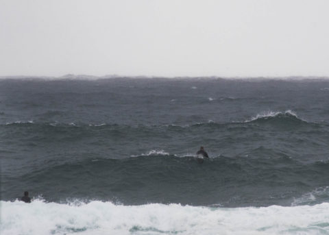
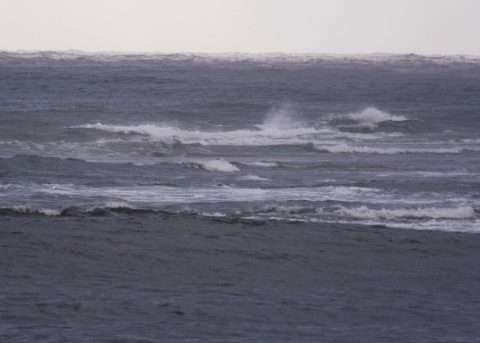
Needless to say, pollution is likely at lots of Sydney’s beaches today. As the pictures show, the water had an unhealthy brownish-grey cast.
Outlook is for the swell to fade back into the marginal range on Monday-Tuesday-Wednesday (but winds for the early could be okay). But thereafter it currently looks as though we’ll see a return to roaring southerly wind and an influx of substantial SSE swell (as in 4-7 metres substantial). Friday could be the peak day, but the energy is predicted to be at solidly surfable intensity through to Monday week on the longest range modelling.
Have a great Saturday everyone!

Weather Situation
A trough has stalled about the Lower Mod North Coast, and a low pressure circulation has developed within it offshore. This is generating vigorous south to southeasterly winds on its southern flank, while lighter north to northwesterly winds lie to its north. The trough and low is expected to be near-stationary today and slowly weaken over the weekend as a high pressure system over the southern Tasman Sea extends a ridge northward along the New South Wales coast.
Forecast for Saturday until midnight
Gale Warning for Saturday for Sydney Coast
- Winds
- Southeasterly 20 to 30 knots, reaching up to 35 knots offshore during the morning. Winds turning southerly 20 to 25 knots in the evening.
- Seas
- 2 to 3 metres.
- 1st Swell
- Southerly 1.5 to 2 metres, decreasing to around 1 metre by early evening.
- 2nd Swell
- Easterly 1.5 to 2 metres.
- Weather
- Cloudy. 90% chance of showers.
- Caution
- Large and powerful surf conditions are expected to be hazardous for coastal activities such as crossing bars by boat and rock fishing.
Sunday 7 October
Strong Wind Warning for Sunday for Sydney Coast
- Winds
- South to southeasterly 20 to 25 knots, reaching up to 30 knots offshore in the late morning and afternoon. Winds tending east to southeasterly 10 to 15 knots during the day.
- Seas
- 1 to 2 metres, increasing to 2 to 3 metres offshore.
- 1st Swell
- Easterly 1.5 metres.
- 2nd Swell
- Southerly around 1 metre.
- Weather
- Cloudy. 70% chance of showers.
Monday 8 October
- Winds
- Northeast to southeasterly 10 to 15 knots becoming variable about 10 knots during the morning.
- Seas
- Around 1 metre.
- Swell
- Easterly 1 to 1.5 metres.
- Weather
- Cloudy. 60% chance of showers.


