Hello Friends,
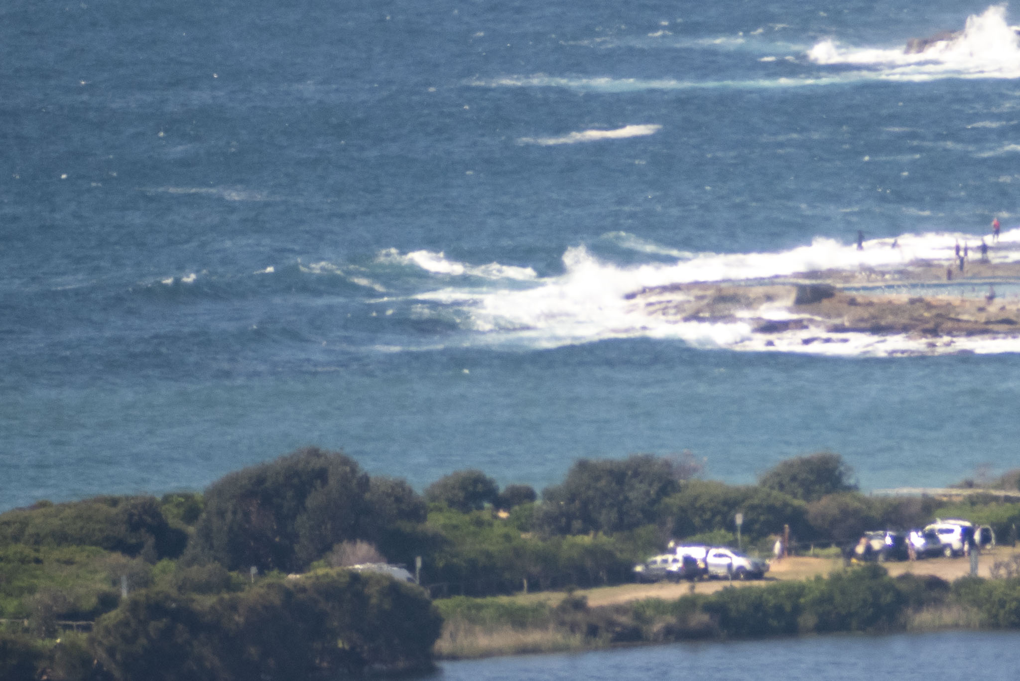
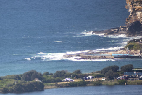
You’re probably not going to find anything above the knee high mark on bomb sets at Dee Why on this sunny and summery Sunday morning. Wind was starting to bump things up at 1000, so it’s going to be semi-protected north corners for the cleanest conditions soon.
The models show periods staying below 10 seconds into the middle of the week, so basically we’re looking at small, weak, summery surf prospects, but with 17C water. My hopes are currently pinned on Friday when we might see an influx of east swell.
Have yourself a top old Sunday, and take the mask to protect others and yourself when you can’t physically distance or you’re inside.

Weather Situation
A strong high pressure system over the Tasman Sea is maintaining a ridge towards the northern New South Wales coast, bringing increasing northerly winds to most coastal areas this weekend. A low pressure trough is forecast to bring a gusty southerly change over the southern and central parts of the coast on Monday, before stalling and decaying on the northern coast during Tuesday.
Forecast for Sunday until midnight
Strong Wind Warning for Sunday for Sydney Coast
Winds
North to northeasterly 20 to 30 knots.
Seas
1.5 to 2.5 metres.
Swell
Northeasterly around 1 metre.
Weather
Sunny.
Monday 5 October
Strong Wind Warning for Monday for Sydney Coast
Winds
North to northeasterly 20 to 30 knots shifting gusty southerly 20 to 30 knots in the evening.
Seas
2 to 3 metres.
Swell
Northeasterly around 1 metre, increasing to 1 to 1.5 metres during the morning.
Weather
Sunny.
Tuesday 6 October
Winds
Southerly 15 to 20 knots turning southeasterly during the evening.
Seas
1 to 2 metres.
1st Swell
Northeasterly 1 to 1.5 metres inshore, increasing to 1.5 to 2 metres offshore.
2nd Swell
Southerly around 1 metre, increasing to 1.5 metres during the evening.
Weather
Cloudy. 50% chance of showers.

