Hello Friends,
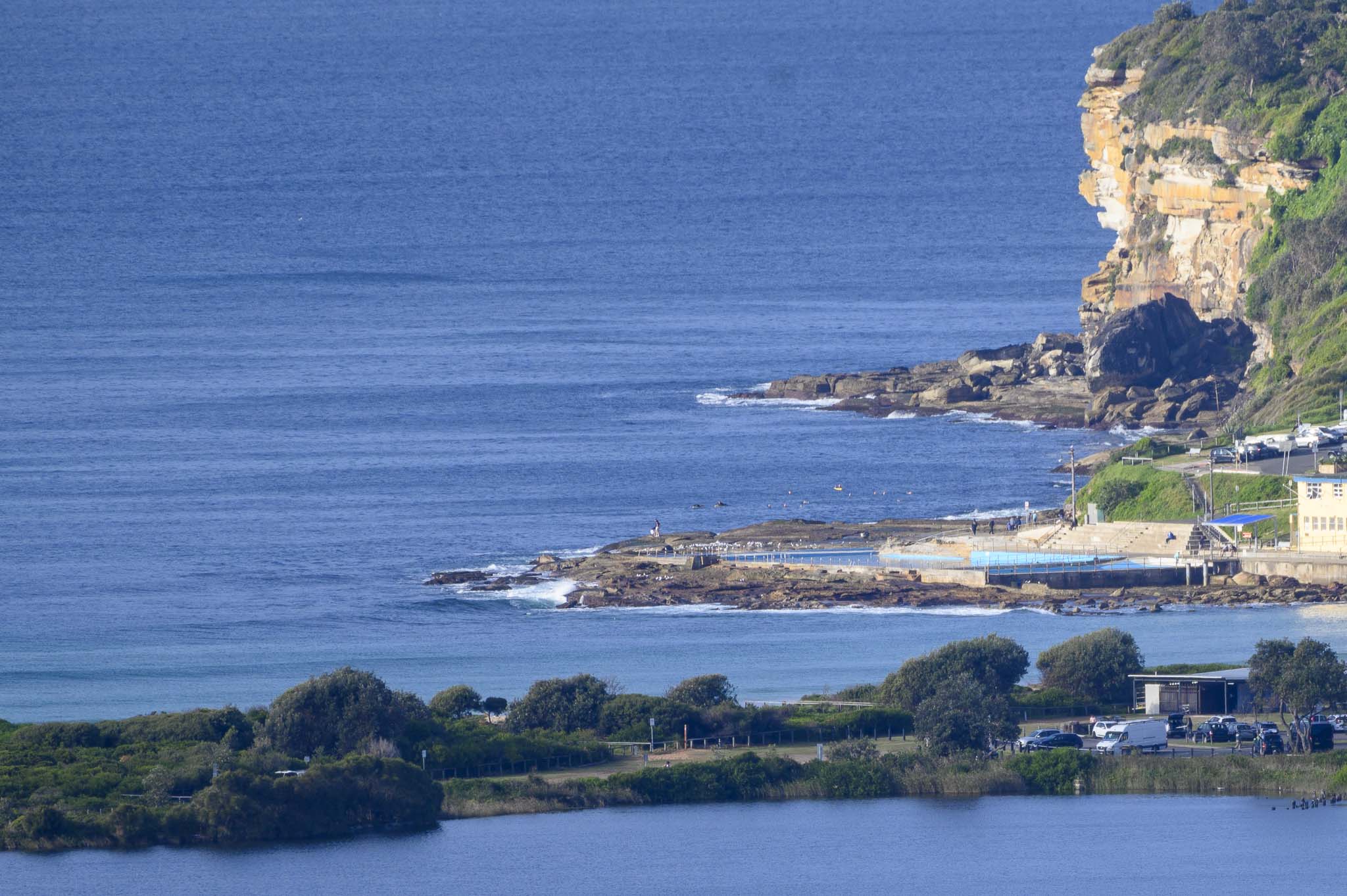
Not a hint of a wave at Dee Why this morning. Swell at sea is a touch under a metre at 12 seconds from 151°, so there are knee to waist high lines to be tapped into at better exposures like Curly. But take your floatiest water toy because there’s not much energy to work with.
While there’s little prospect of an improvement to energy levels for today, the models are showing a return to fun size surf from tomorrow as we get an influx of easterly energy with offshores for the earlies for what could be the rest of the week. What an amazing autumn we’re having.
Weather Situation
A high pressure system lies over the Tasman Sea, while a surface trough is lingering off the northern coast of New South Wales for next few days. The next cold front set to cross the state mid next week.
Forecast for Sunday until midnight
- Winds
- West to southwesterly about 10 knots becoming east to southeasterly in the late afternoon.
- Seas
- Below 1 metre.
- Swell
- East to southeasterly below 1 metre.
- Weather
- Partly cloudy. 80% chance of showers.
Monday 24 May
- Winds
- East to northeasterly about 10 knots.
- Seas
- Below 1 metre.
- Swell
- Easterly 1.5 to 2 metres.
- Weather
- Partly cloudy. 60% chance of showers.
Tuesday 25 May
- Winds
- Northeasterly 10 to 15 knots turning northerly 15 to 20 knots during the morning.
- Seas
- 1 to 1.5 metres.
- Swell
- Easterly 1.5 to 2 metres.
- Weather
- Partly cloudy.


