Hello Friends,
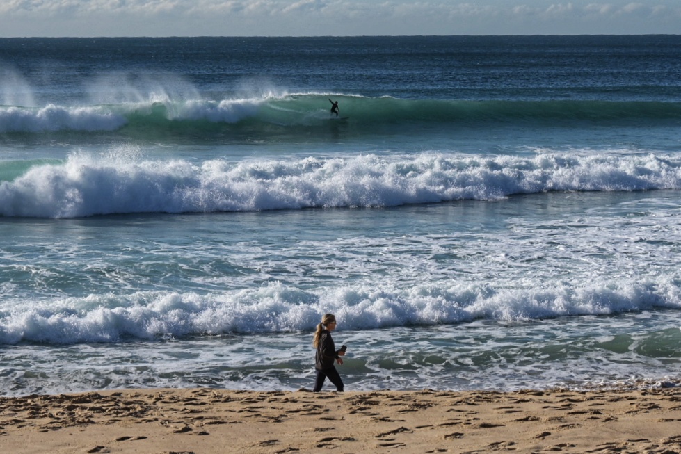
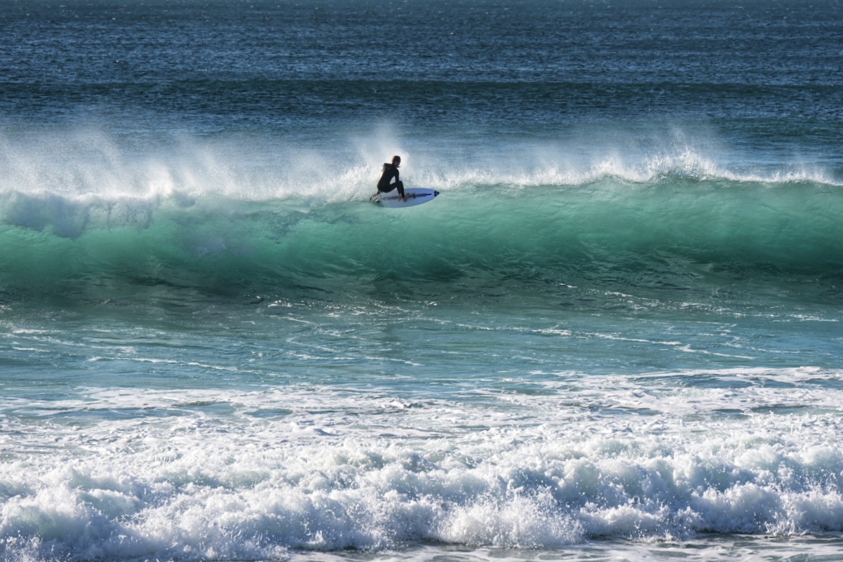
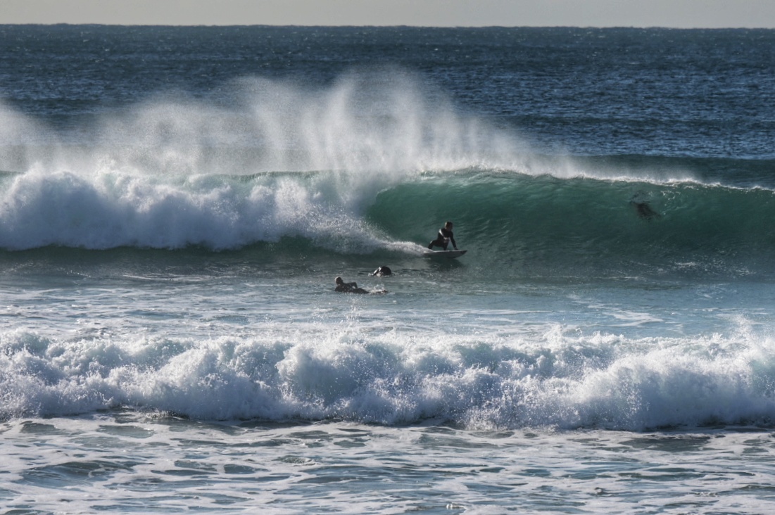
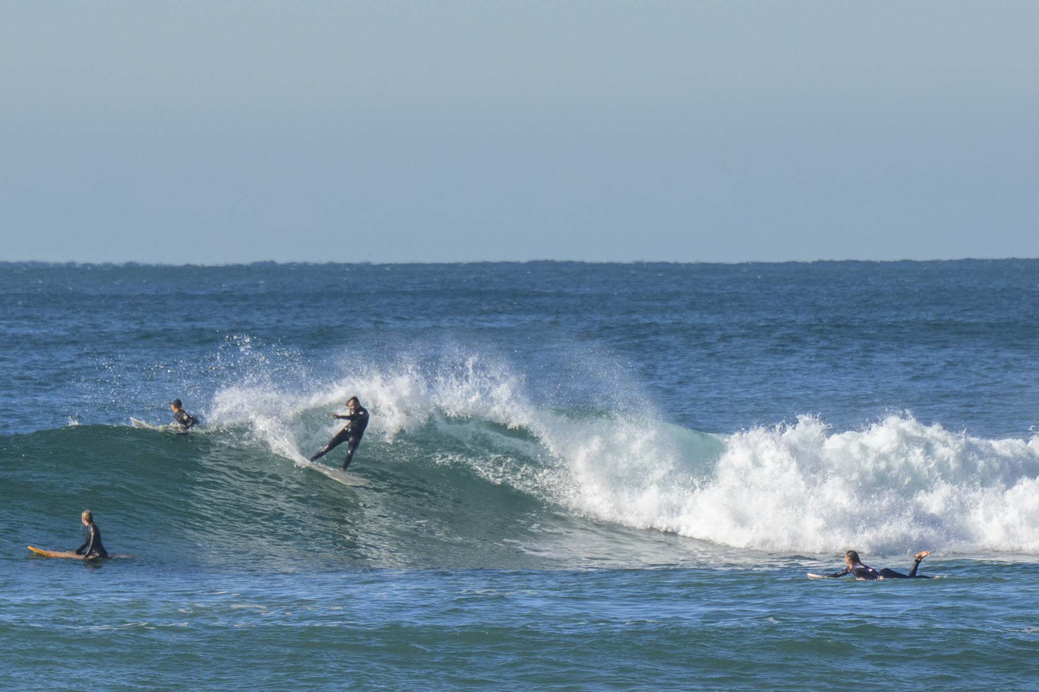
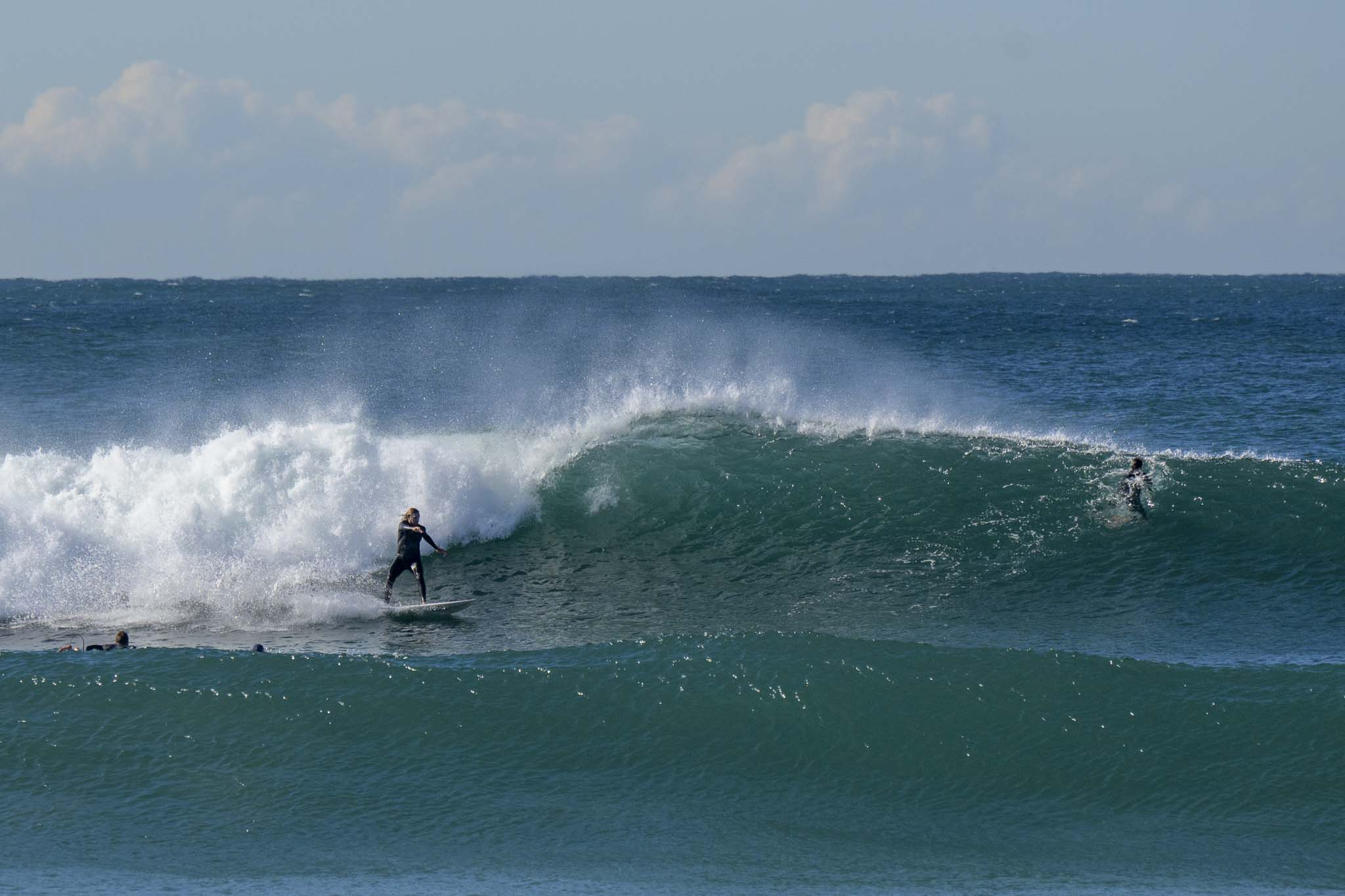
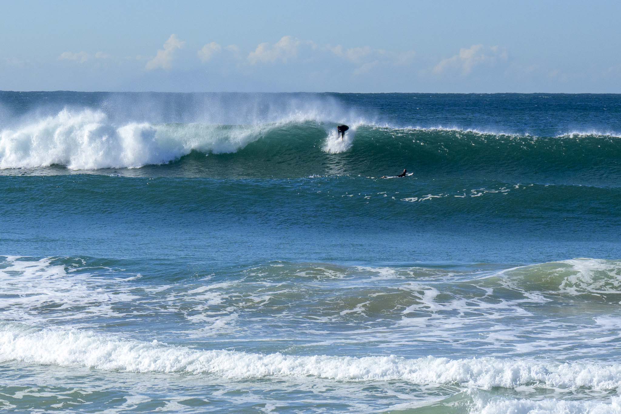
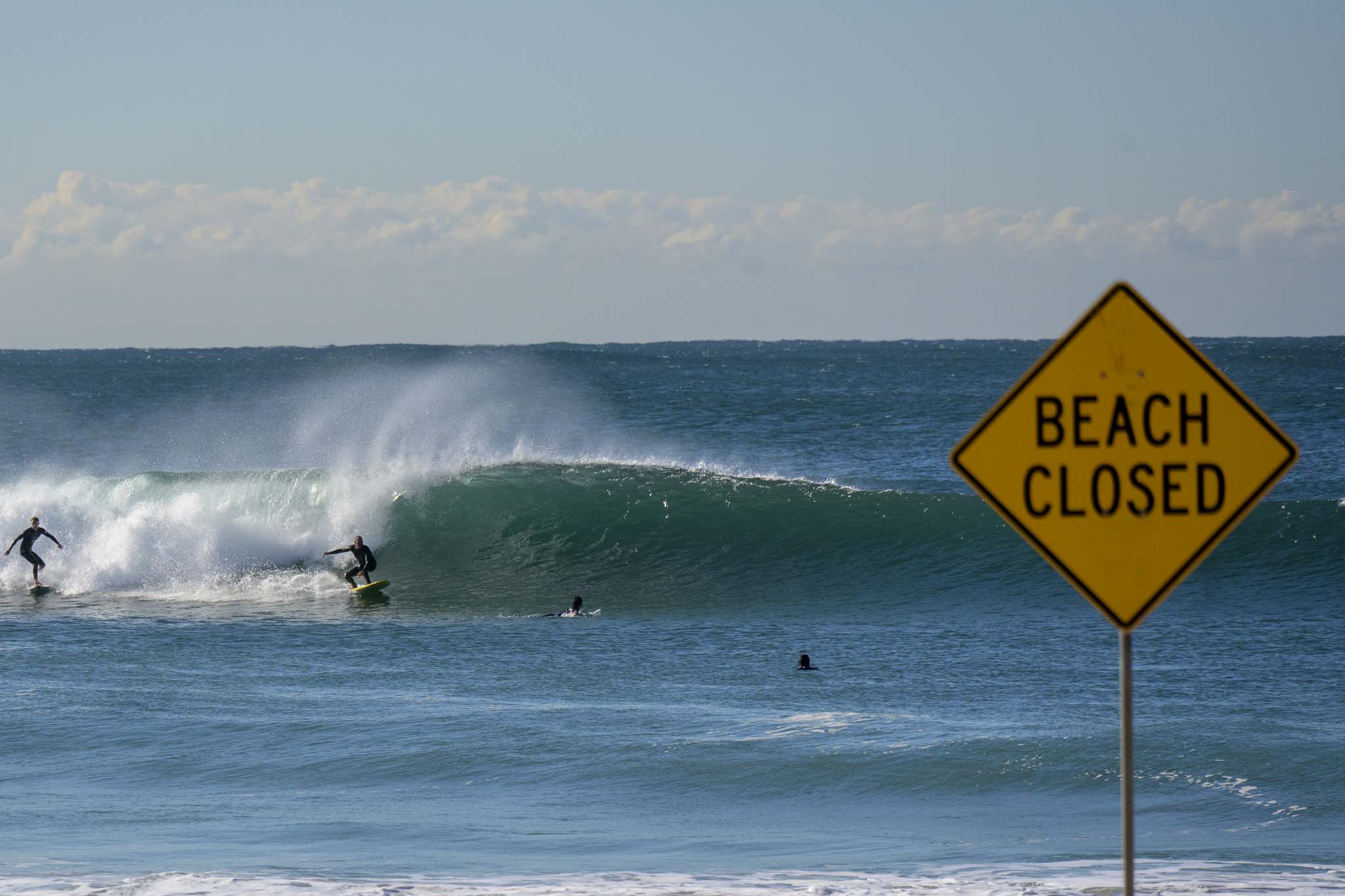
Definitely a few waves around this morning at south spots. North Steyne for instance, was really lighting up on sets. Out at sea, the swell is close to 2 metres at 12 seconds from 147°.
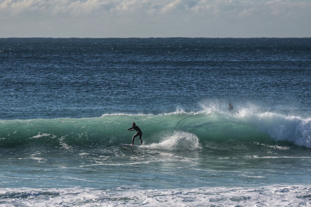
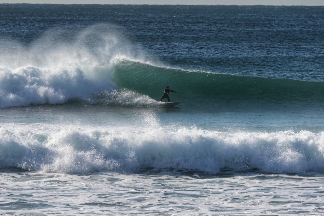
Waves at Freshy and Curly and Dee Why too.
Weather Situation
A west to southwesterly change following a cold front has moved through most coastal waters, and is expected to reach the Queensland border this morning. From Friday, a front associated with a low pressure system near New Zealand will bring strong to gale force southerly winds along the New South Wales coast. As the low deepens, a powerful southerly swell is expected to generate hazardous and damaging surf conditions across all waters, extending through the weekend.
Forecast for Thursday until midnight
Winds
Southwesterly 15 to 20 knots.
Seas
1 to 1.5 metres.
1st Swell
Southerly around 1 metre, increasing to 1.5 to 2.5 metres during the morning.
2nd Swell
Easterly 1 to 1.5 metres, decreasing to around 1 metre around midday.
Weather
Mostly sunny.
Friday 28 May
Gale Warning for Friday for Sydney Coast
Winds
Southwesterly 20 to 30 knots, tending south to southwesterly 30 to 35 knots in the middle of the day.
Seas
2 to 3 metres, increasing to 3 to 4 metres around midday.
Swell
Southerly 2 to 3 metres, increasing to 4 to 6 metres during the morning.
Weather
Partly cloudy. 60% chance of showers.
Caution
Large and powerful surf conditions in the afternoon and evening are expected to be hazardous for coastal activities such as crossing bars by boat and rock fishing.
Saturday 29 May
Winds
Southerly 25 to 35 knots.
Seas
3 to 4 metres.
Swell
Southerly 5 to 6 metres.
Weather
Cloudy. 90% chance of showers.
Caution
Large and powerful surf conditions are expected to be hazardous for coastal activities such as crossing bars by boat and rock fishing


