Hello Friends,
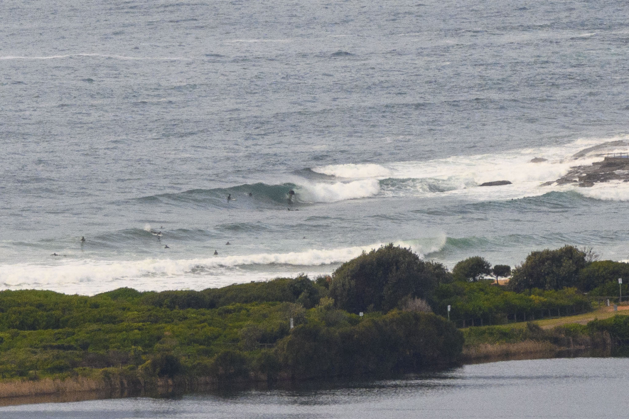
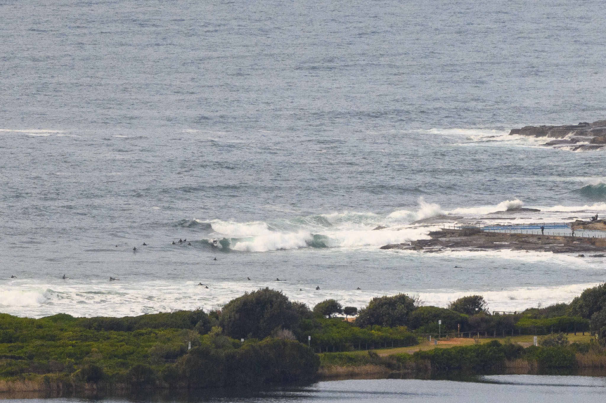
Swell’s running out of puff and although the wind is out of the west at 5-6 kts, the 2 metre 10-second east swell looked a bit ragged and junky at Dee Why as of 0745. Plus Beachwatch was warning that most places had pollution-likely ratings yesterday, and given there was more rain overnight, you wouldn’t imagine it’s improved.
Outlook is for things to get smaller but with luck, it won’t go flat across the rest of the week.
Have a good one!
Weather Situation
A high pressure system centred off the east coast of Tasmania extends a ridge up the New South Wales coast, maintaining onshore southeast to northeasterly airstream over coastal waters. Winds should gradually turn northerly by mid week as the high moves further east, strengthening as the next frontal system approaches from the west. The next change may affect parts of the coast later in the week.
Forecast for Tuesday until midnight
- Winds
- Southeasterly 10 to 15 knots turning east to northeasterly during the day.
- Seas
- Below 1 metre.
- Swell
- Southeasterly 1.5 to 2 metres, decreasing to 1.5 metres during the morning.
- Weather
- Partly cloudy.
Wednesday 23 June
- Winds
- Northeasterly 10 to 15 knots turning northerly 15 to 20 knots early in the morning.
- Seas
- Around 1 metre, increasing to 1 to 1.5 metres during the morning.
- Swell
- Southeasterly 1 to 1.5 metres, tending easterly around 1 metre later in the evening.
- Weather
- Partly cloudy.
Thursday 24 June
- Winds
- Northerly 15 to 25 knots tending northwesterly 20 to 25 knots during the evening.
- Seas
- 1 to 1.5 metres, increasing to 1.5 to 2.5 metres during the afternoon.
- Swell
- Southeasterly around 1 metre.
- Weather
- Cloudy. 90% chance of rain. The chance of a thunderstorm.


