Hello Friends,
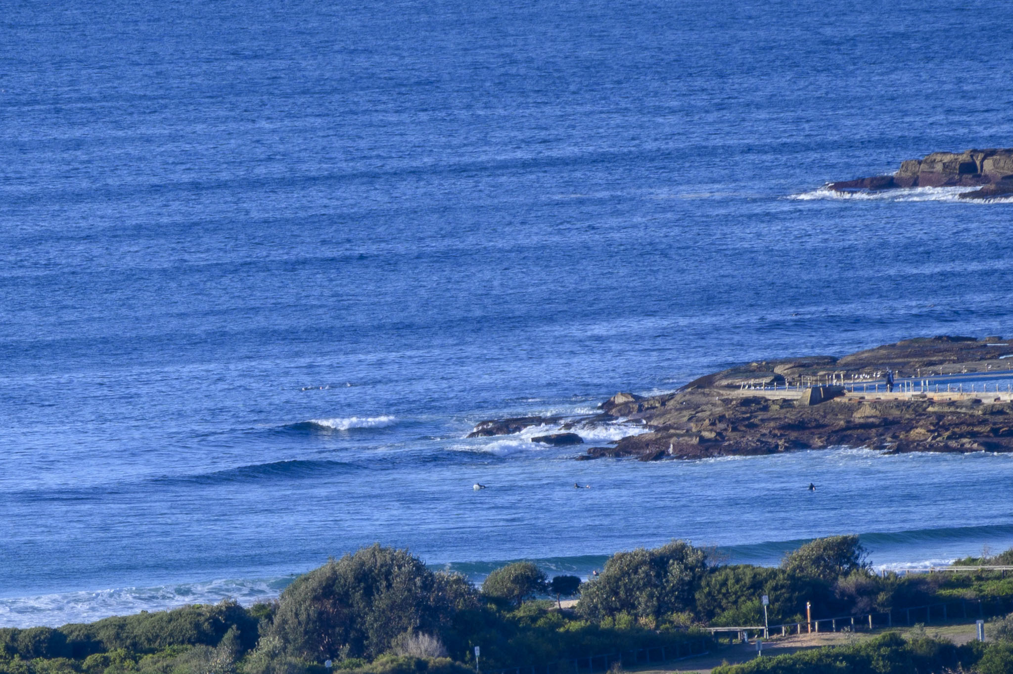
Swell’s bumped up out at sea, but although it was a touch over two metres and had a period of 9 seconds, it was also dead south. The wind was coming from the west at 9-13 kts as of 0840. Tide was low at 0825 and it’ll be back to high at 1500. Weather is set to be sunny and to reach a high of 18C. Sea temperature is 18-19 C.
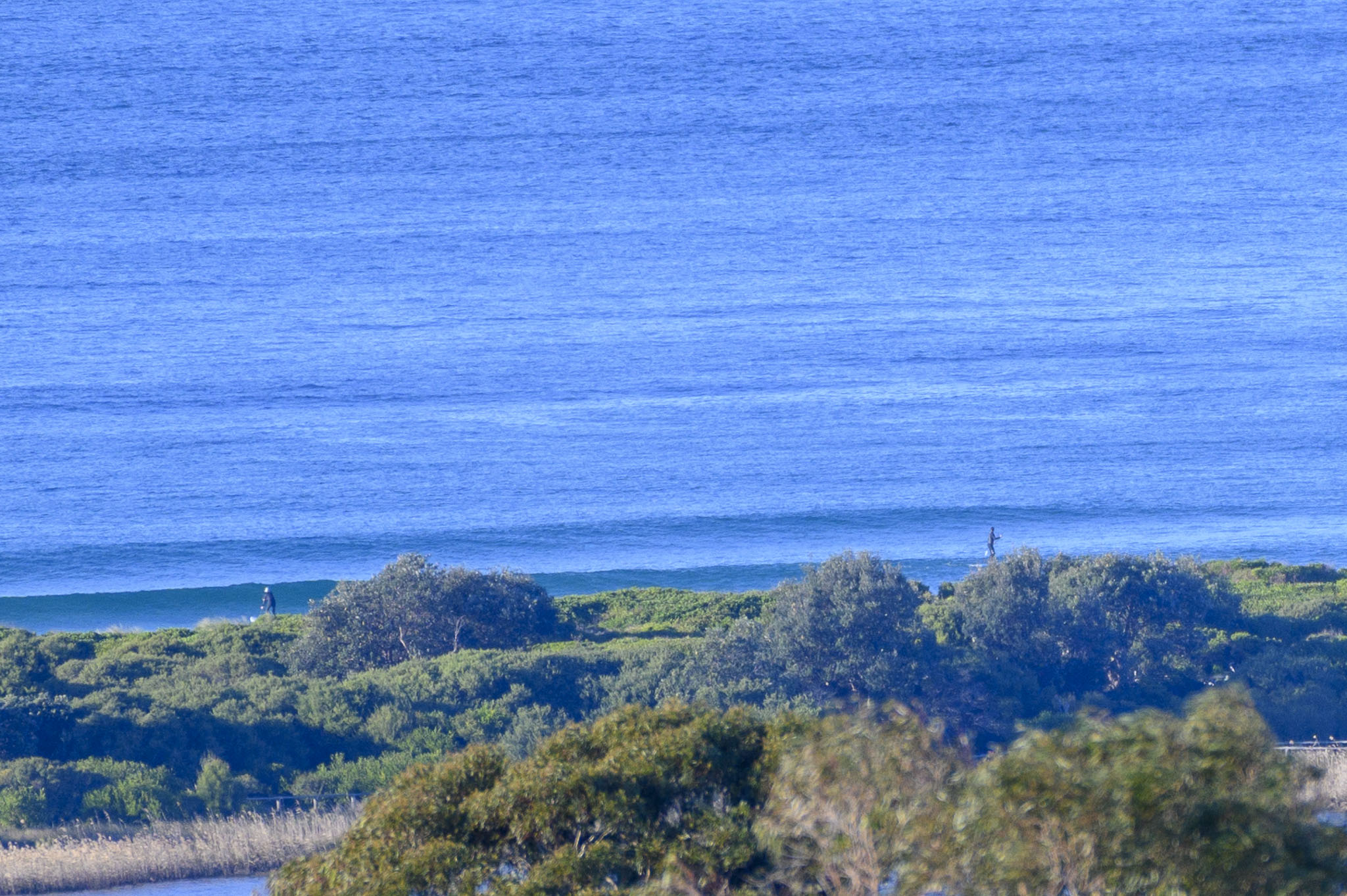
The swell models continue to predict very tiny to flat conditions through to Wednesday morning. We should see a biggish but dead south pulse start to fill in from late afternoon Wednesday and to be chugging along in the fun size range with potentially favourable winds on Thursday morning. The very long range models are showing another, bigger pulse arriving early next week…but the call is currently for blasting southerly wind at the same time.
As always… we shall see…
Go well, and mask up when you’re around other people. This variant seems to be pretty easy to catch, particularly if you’re among the majority of Australians who still can’t get the jab.
Weather Situation
A high pressure system lies over central Australia, while a vigorous cold front is in the Tasman Sea and is moving eastwards away from Australia. Strong winds between the two systems should continue over NSW coastal waters early today, though winds will ease through the day and into Monday as the high approaches and the front moves further offshore.
Forecast for Sunday until midnight
Strong Wind Warning for Sunday for Sydney Coast
- Winds
- Westerly 25 to 30 knots, reaching up to 35 knots offshore early in the morning. Winds turning southwesterly 20 to 25 knots during the morning and early afternoon.
- Seas
- 2 to 3 metres, decreasing to 1 to 2 metres during the afternoon.
- Swell
- Southerly 1.5 to 2.5 metres.
- Weather
- The chance of a thunderstorm offshore this morning. Mostly sunny afternoon.
Monday 19 July
- Winds
- Southwesterly 10 to 15 knots turning westerly 15 to 20 knots before dawn.
- Seas
- Around 1 metre.
- Swell
- Southerly 1.5 to 2 metres, decreasing to 1.5 metres around midday.
- Weather
- Partly cloudy.
Tuesday 20 July
- Winds
- Westerly 20 to 30 knots.
- Seas
- 1.5 to 2.5 metres offshore.
- Swell
- Southerly around 1 metre.
- Weather
- Mostly sunny. 50% chance of showers. The chance of a thunderstorm in the afternoon and evening.


