Hello Friends,
As expected, this morning kicked off with lowering skies and drizzle as we head into at least a week of the wet stuff. Wind was out of the ESE at 8-14 kts as of 0700, while swell at sea was 2.3 metres at 9 seconds from the S-SSE. First tide of the day was the 0.5m low at 0805. Yesterday’s rain has triggered ‘pollution possible’ warnings from Beachwatch for the lagoon entrances.
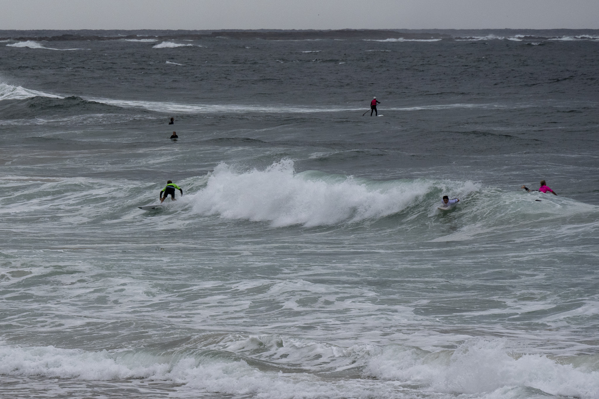
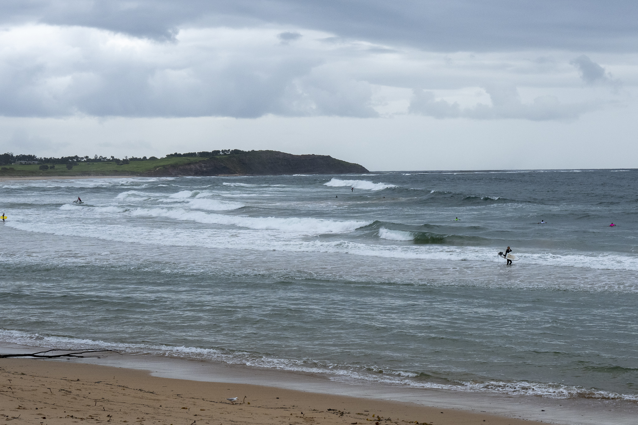
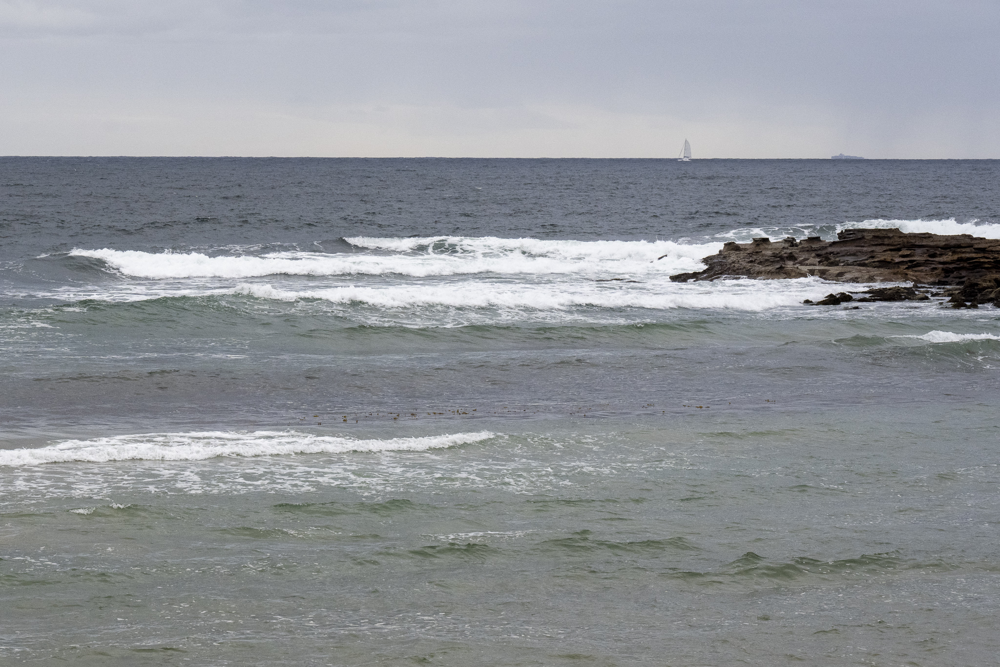
Surfwise it was pretty ordinary. There were some soft knee high bumps at Manly, but around at Curly it was choppy and too tiny to have attracted any takers. Dee Why was picking up the energy and seeing the odd chest high plus, but quality, as the pics show was sub-par.
Have a great Thursday and take the N95 for inside spaces.
Weather Situation
A ridge of high pressure extends along the New South Wales coast. A low pressure trough lies near the north coast and is forecast to linger in that area for the remainder of the week with east to southeasterly winds dominating.
Forecast for Thursday until midnight
- Winds
- East to southeasterly 10 to 15 knots tending east to northeasterly during the afternoon and evening.
- Seas
- Around 1 metre.
- Swell
- Southerly 1.5 to 2 metres, decreasing to 1 to 1.5 metres during the morning.
- Weather
- Cloudy. 90% chance of showers. The chance of a thunderstorm this evening.
Friday 25 March
- Winds
- East to northeasterly 10 to 15 knots turning southeasterly 15 to 20 knots during the morning.
- Seas
- Around 1 metre, increasing to 1 to 1.5 metres offshore around midday.
- Swell
- Southerly 1 to 1.5 metres, decreasing to around 1 metre during the morning.
- Weather
- Cloudy. 95% chance of showers.
Saturday 26 March
- Winds
- Southeasterly 15 to 20 knots.
- Seas
- 1 to 1.5 metres.
- Swell
- Southerly below 1 metre.
- Weather
- Partly cloudy. 70% chance of showers.


