Hello Friends,
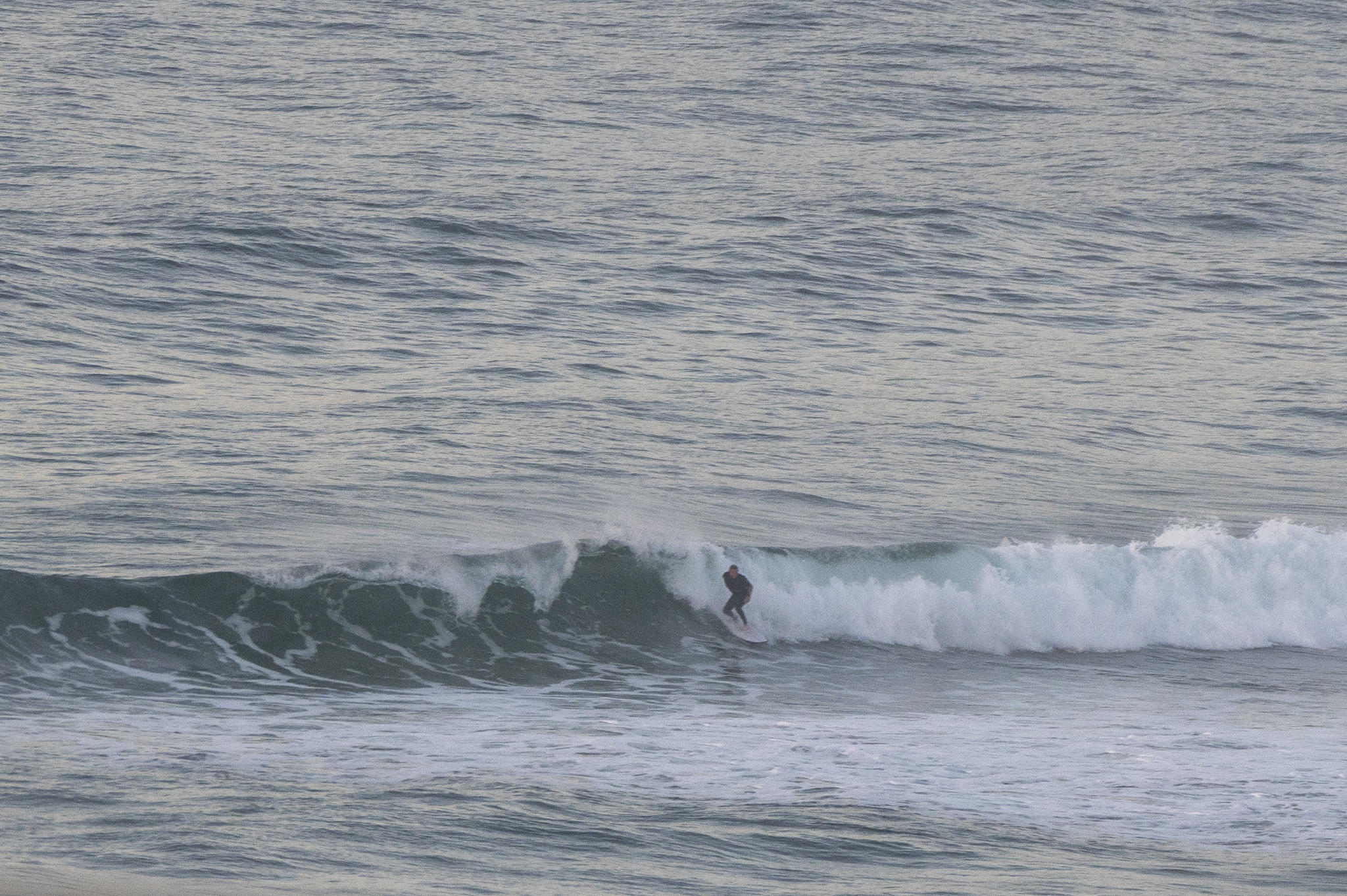
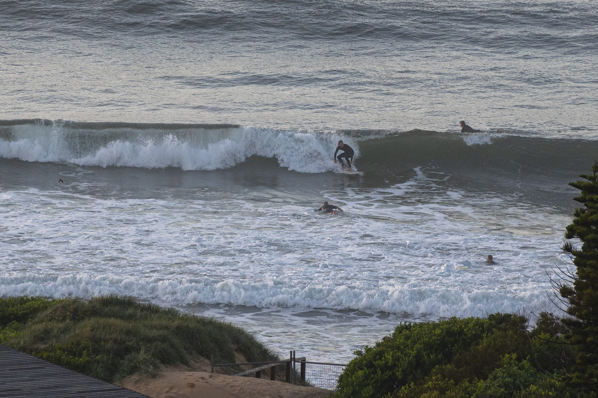
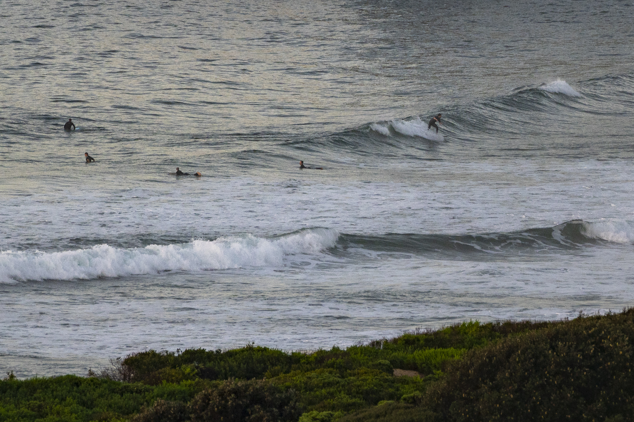
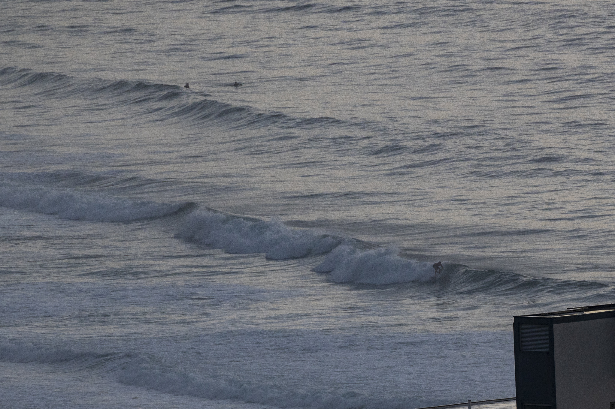
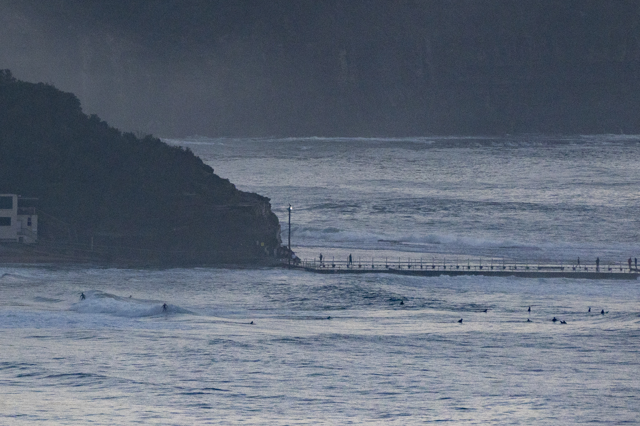
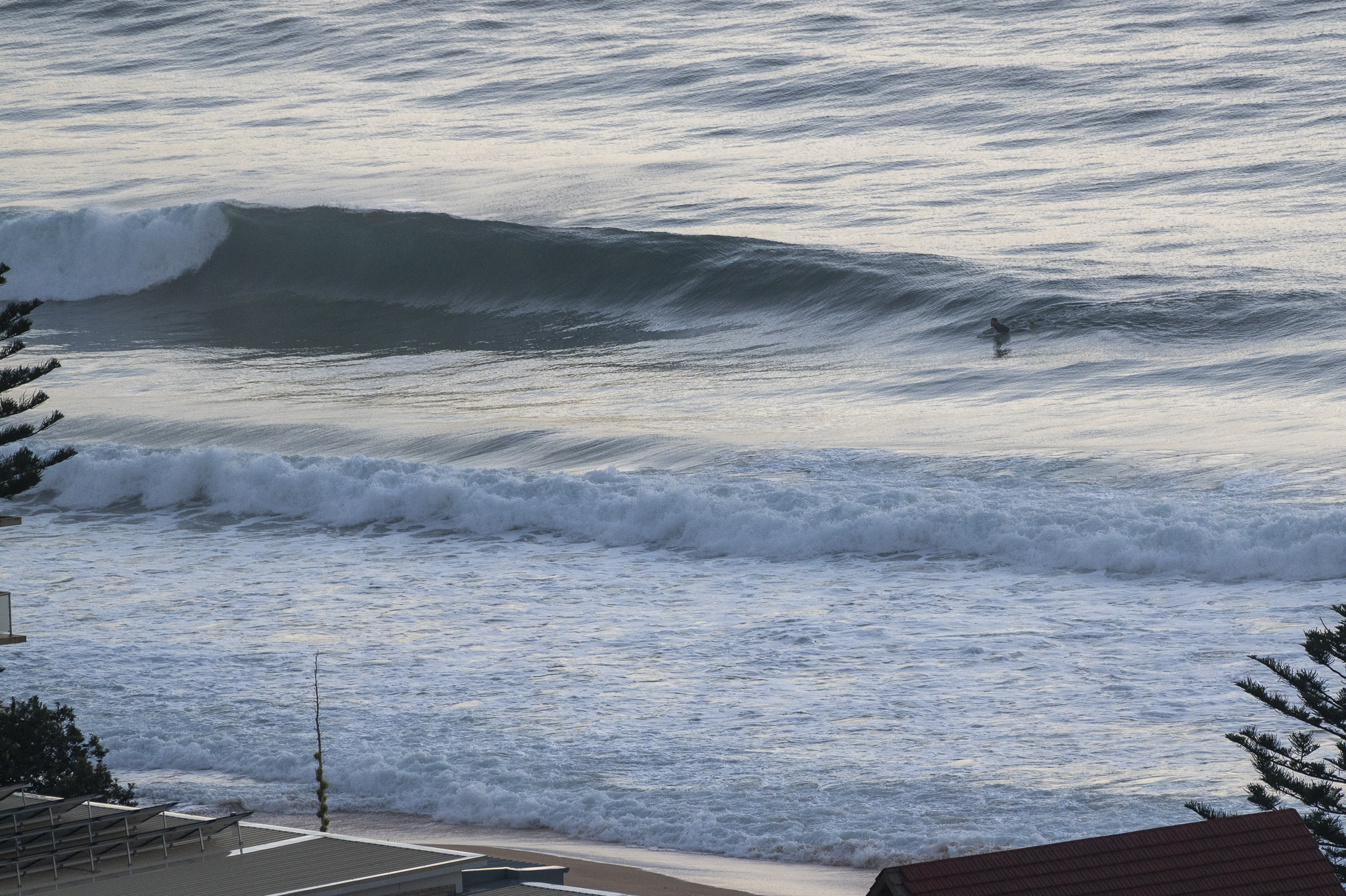
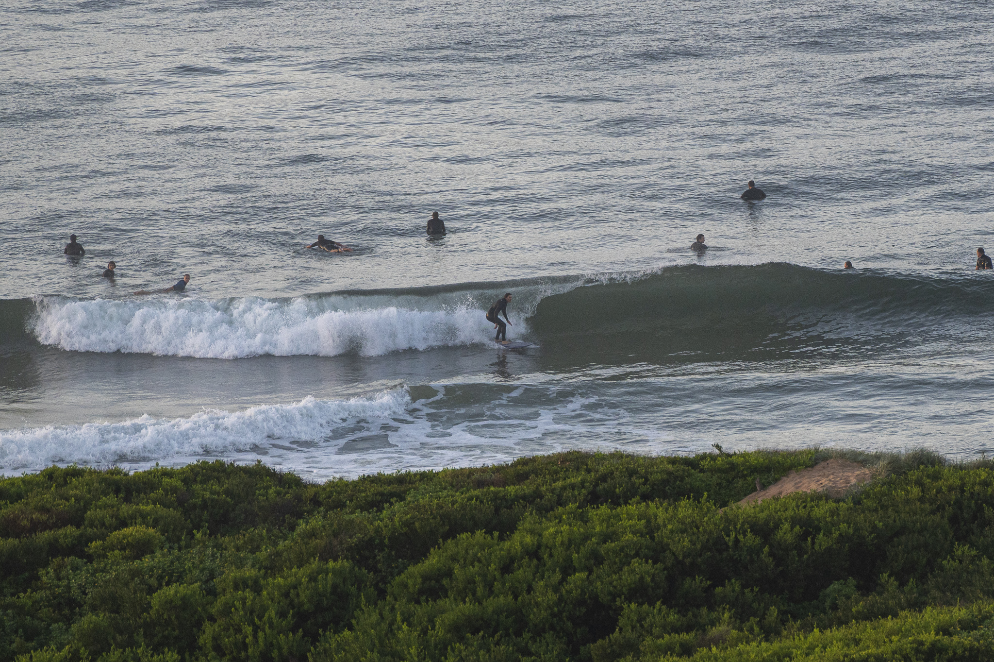
Definitely a few waves around this morning thanks to the east swell direction. As the pictures show, the sets are into the shoulder high range and surface conditions were smooth before 0700. Tide was high at 0630 which meant the 9-second period swell was looking a bit soft at times. Water may not be all that wonderful after the rain, particularly at the southern end of the northern beaches and across the bridge in the eastern suburbs.
Wind should pick up from the north as the day goes along which will mean some early morning spots that were relatively clean will be blown out. Swell is expected to stick around at about the current intensity through Saturday before gradually dialling back to marginal for the remainder of the week.
Have yourself a top old Saturday everyone and stay safe!
Weather Situation
A trough over eastern New South Wales will continue to move northeast and weaken as a high pressure system over the Tasman Sea remains slow moving. North to northeasterly winds are forecast to persist over the weekend, tending west to southwesterly in the south as another trough moves through the region. A high pressure ridge will extend across New South Wales waters from Monday, with winds shifting southerly.
Forecast for Saturday until midnight
- Winds
- Northerly 15 to 25 knots.
- Seas
- 1 to 2 metres.
- Swell
- Northeasterly 1.5 to 2 metres.
- Weather
- Partly cloudy.
Sunday 15 May
- Winds
- Northerly 15 to 20 knots tending northwesterly 10 to 15 knots early in the morning then becoming variable about 10 knots in the middle of the day.
- Seas
- 1 to 1.5 metres, decreasing below 1 metre during the morning.
- Swell
- Northeasterly 1 to 1.5 metres inshore, increasing to 1.5 to 2 metres offshore.
- Weather
- Partly cloudy. 60% chance of showers.
Monday 16 May
- Winds
- West to southwesterly 10 to 15 knots.
- Seas
- Around 1 metre.
- Swell
- Northeasterly 1.5 to 2 metres, decreasing to 1 to 1.5 metres during the morning.
- Weather
- Partly cloudy.


