Hello Friends,
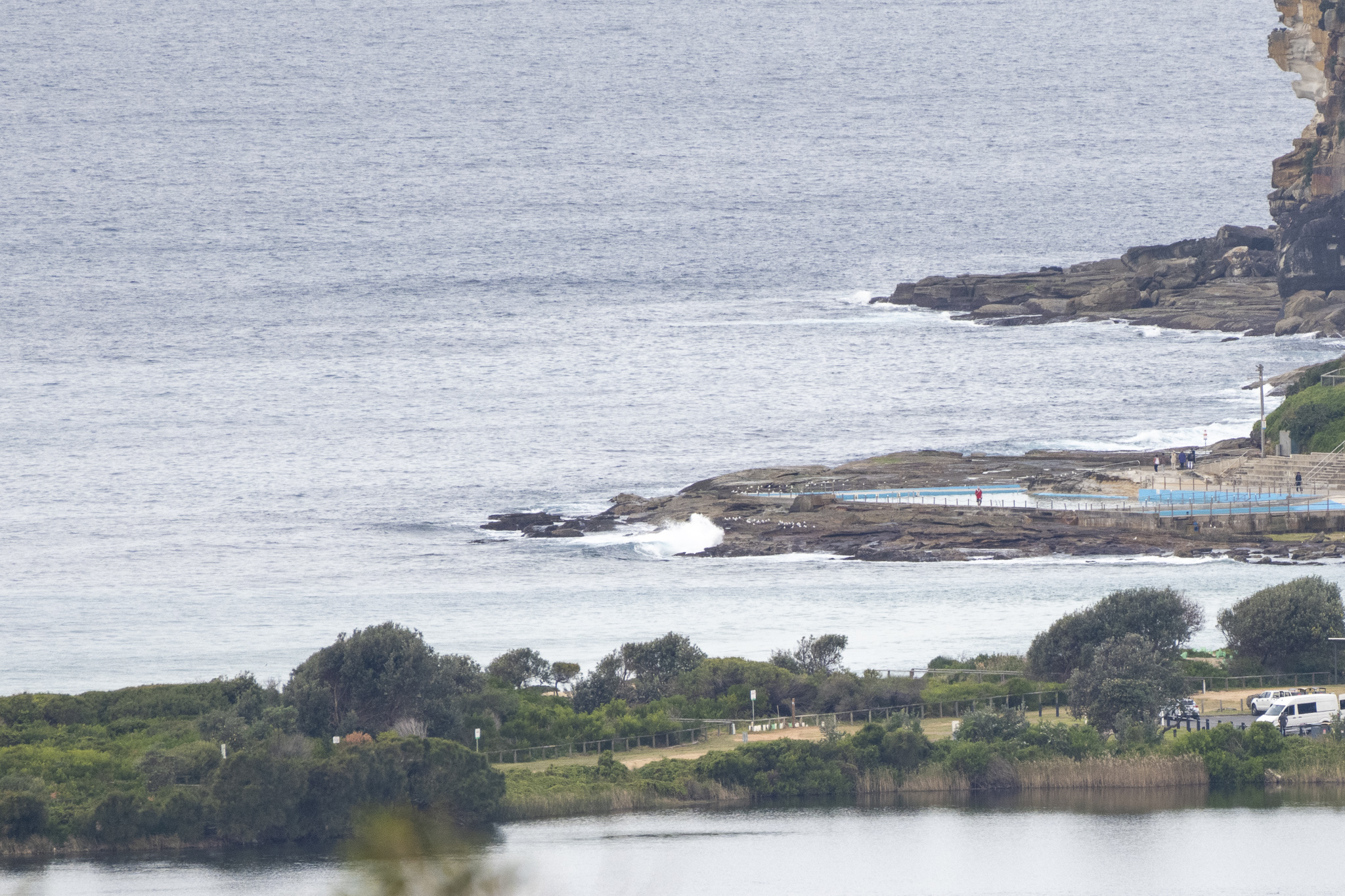
No surf as of lunch time when I finally clapped eyes on the beach.
I wonder what the Mighty Goat will have to say about our prospects. One thing’s for sure, we can look forward to a couple of rainy days from tomorrow and it would appear we’re in for the wet stuff through to next Wednesday.
Check back later for the Goat’s thoughts…
Catch you on the ‘morrow
Weather Situation
A high pressure system over the Tasman Sea extends a ridge across the northern waters while a weakening trough will push off the southeast coast this morning. After this, a new high pressure system is forecast to strengthen south of the Bight, extending a ridge across the southern waters while a trough develops along the northern parts. This pattern will bring south to southeasterly winds along the New South Wales coast from today. There is potential for strong winds to linger in some areas through the weekend, depending on the development of the trough.
Forecast for Thursday until midnight
- Winds
- West to northwesterly 10 to 15 knots turning south to southwesterly in the late morning.
- Seas
- Around 1 metre.
- Swell
- Easterly around 1 metre.
- Weather
- Cloudy.
Friday 1 July
- Winds
- Southerly 10 to 15 knots turning south to southeasterly during the evening.
- Seas
- Below 1 metre.
- Swell
- Southerly around 1 metre, increasing to 1 to 2 metres around midday.
- Weather
- Cloudy. Near 100% chance of showers. The chance of a thunderstorm.
Saturday 2 July
- Winds
- Variable about 10 knots becoming east to southeasterly 15 to 20 knots during the morning then becoming southeasterly 20 to 30 knots during the evening.
- Seas
- Around 1 metre, increasing to 1 to 2 metres offshore during the afternoon or evening.
- 1st Swell
- Southerly 1 to 2 metres, decreasing to around 1 metre during the afternoon.
- 2nd Swell
- Southeasterly 1 to 1.5 metres, increasing to 1.5 to 2 metres during the morning.
- Weather
- Cloudy. Near 100% chance of rain.


