Hello Friends,
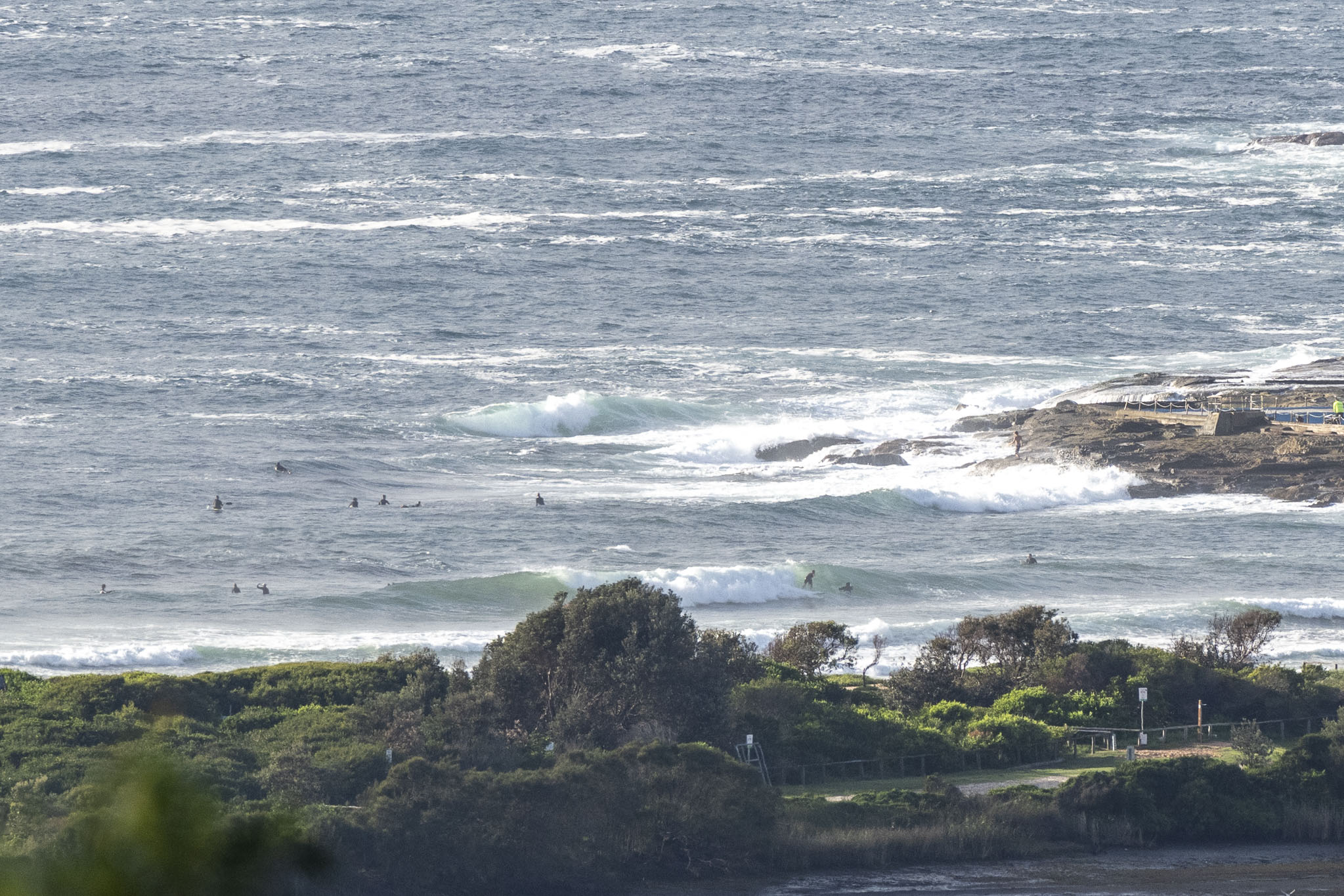
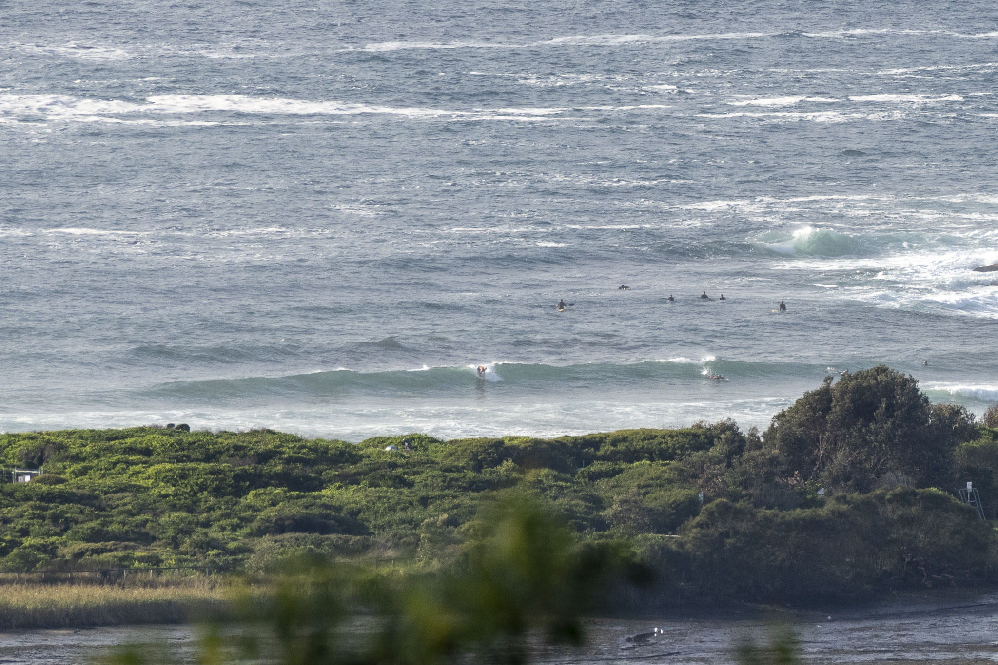
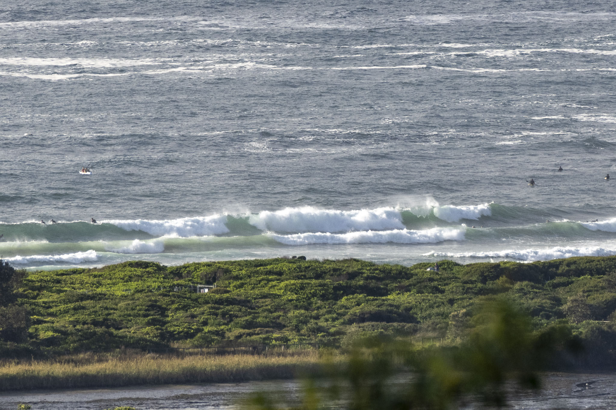
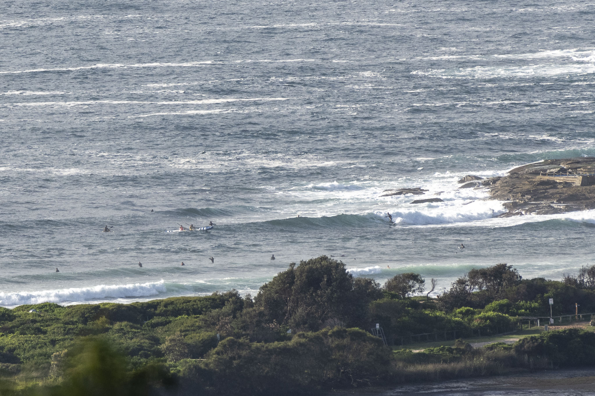
Light NW wind early and a 1.6 metre, 8-sec NE wind swell was producing somewhat choppy and bumpy chest to shoulder high sets at Dee Why. Wind is expected to swing onshore as the day goes along however it shouldn’t be too strong. Ocean’s on 25C too. Weather should be partly cloudy with our next high tide arriving at 1220. All and all, not terrible.
Weather Situation
A high pressure system over the southern Tasman Sea is slowly moving east, maintaining fresh southeast to northeasterly winds along the New South Wales coast. On Saturday, northeasterly winds are expected to strengthen ahead of a trough which will bring a southerly change to the southern half of the state on Sunday. After this, northeasterly winds will redevelop as the trough weakens and a ridge of high pressure develops.
Forecast for Friday until midnight
- Winds
- Easterly 10 to 15 knots turning northeasterly in the evening.
- Seas
- Below 1 metre.
- Swell
- Easterly 1.5 metres.
- Weather
- Partly cloudy.
Saturday 25 February
- Winds
- North to northeasterly 15 to 25 knots.
- Seas
- Below 1 metre, increasing to 1 to 1.5 metres by early evening.
- Swell
- Southeasterly 1 to 1.5 metres, tending easterly 1 to 1.5 metres during the morning, then decreasing to around 1 metre by early evening.
- Weather
- Partly cloudy.
Sunday 26 February
- Winds
- Northerly 15 to 20 knots shifting east to southeasterly during the afternoon.
- Seas
- 1 to 2 metres, decreasing to 1 metre during the morning.
- Swell
- Easterly around 1 metre.
- Weather
- Partly cloudy. The chance of a thunderstorm in the evening.