Hello Friends,
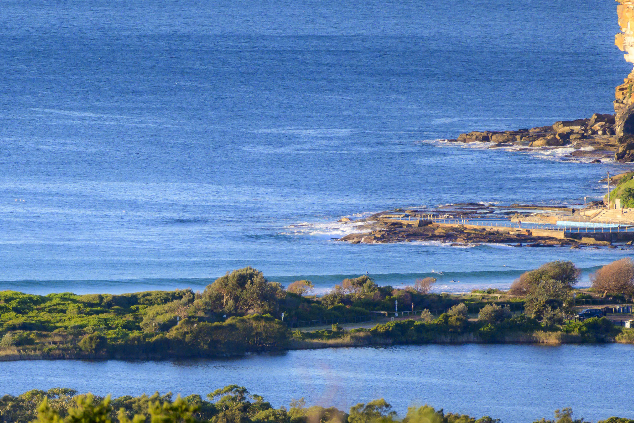
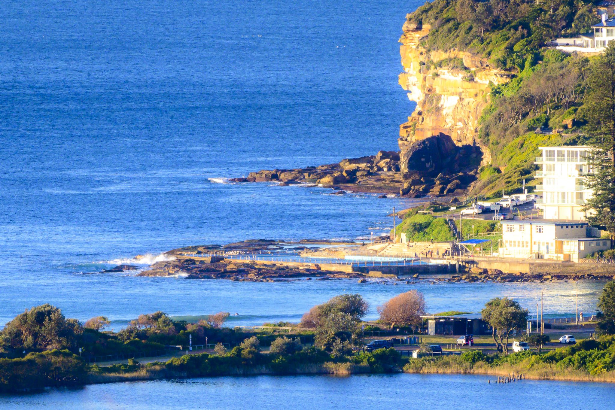
All’s quiet on the eastern front. We had sunny skies and a light NW wind at 0800. Swell at sea was a metre at 15 seconds from the SE, but at Dee Why that translated into very occasional long period sets in the waist plus range. Unfortunately, the long period also meant that waves were just shutting down along the beach while not really seeming to wrap into the point. Good day for an exercise paddle, but not much else.
The outlook on the models is for more of the same across the front half of the work week and then maybe a little improvement to size at south magnets as we get to Friday…
It’s been such a good autumn that grumbling about a flat spell seems almost ungrateful. So I won’t!
Weather Situation
A ridge of high pressure will persist across central and northern waters for the coming week, while a series of cold fronts pass to the south. The first of these fronts is expected to freshen west to southwesterly winds during today, and again on Wednesday. Winds are then expected to turn southerly on Thursday as the centre of the high reaches the Tasman Sea.
Forecast for Monday until midnight
- Winds
- Westerly 15 to 20 knots, reaching up to 25 knots offshore in the late morning.
- Seas
- 1 to 1.5 metres.
- Swell
- Southerly around 1 metre.
- Weather
- Sunny.
Tuesday 30 May
- Winds
- Westerly 15 to 20 knots.
- Seas
- 1 to 1.5 metres, decreasing to 1 metre during the morning.
- Swell
- Southerly 1 to 1.5 metres inshore, increasing to 1.5 to 2 metres offshore during the morning.
- Weather
- Sunny.
Wednesday 31 May
- Winds
- West to northwesterly 10 to 15 knots.
- Seas
- Around 1 metre.
- Swell
- Southerly 1 to 1.5 metres, decreasing to around 1 metre during the afternoon or evening.
- Weather
- Partly cloudy.


