Hello Friends,
The better exposures were seeing close-together but chest-to-shoulder-high faces as Tuesday kicked off. Swell was dominated by the 8-second 2 metre easterly component, but there was also a bit of SE in the mix as well.
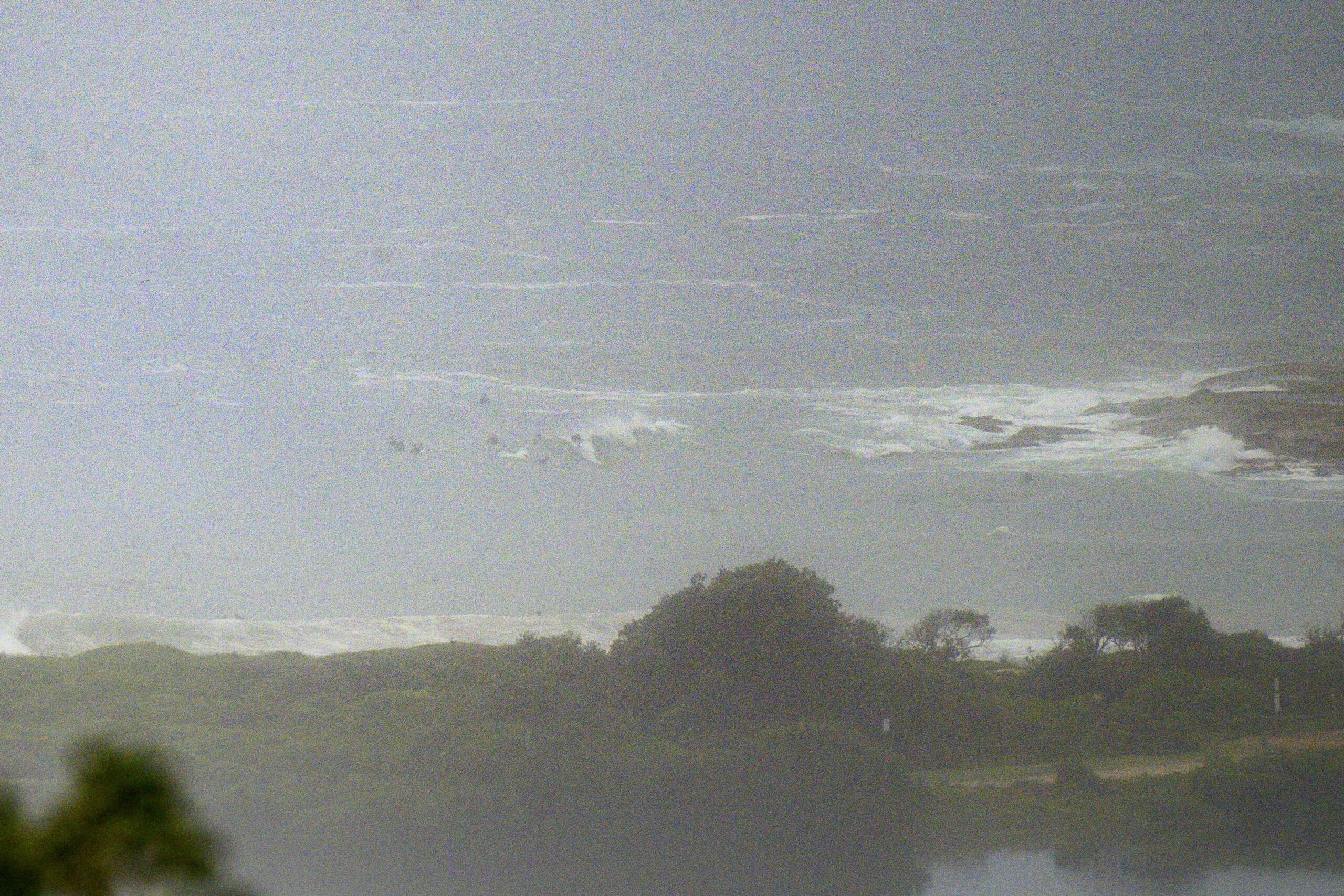
I had to amp up the pictures to even make out what was happening at the point around 0745 because the fog was significantly reducing visibility. There were waist plusses on offer, but other places better tuned to the swell combo will be bigger and more consistent. Tide was high at 0500 and will be back to low at 1210. By then the NE wind should be up and your surf options will be fading.
Tomorrow looks like being windy and then Thursday we should see it turn southerly early, which will of course minimise surf choices. Friday morning currently looks a possibility for easing wind in the early morning hours and some swell energy at south magnets…
Go well!
Weather Situation
A trough lies along the New South Wales coast while a high pressure system is gradually moving east across the Tasman Sea. This high will extend a ridge towards the coast and replace the trough today. After this, north to northeasterly winds are forecast to become strong ahead of an approaching cold front, which looks set to bring a strong, gusty southerly change to the coast on Wednesday reaching the border by Thursday. On Friday, the next high pressure system moves over the Tasman Sea.
Forecast for Tuesday until midnight
Strong Wind Warning for Tuesday for Sydney Coast
- Winds
- Northeasterly 15 to 25 knots, increasing to 25 to 30 knots in the evening.
- Seas
- 1 to 2 metres.
- Swell
- Northeasterly 1 to 1.5 metres, decreasing to around 1 metre during the afternoon.
- Weather
- Partly cloudy. 70% chance of showers. The chance of a thunderstorm.
Wednesday 20 March
Gale Warning for Wednesday for Sydney Coast
- Winds
- Northerly 20 to 30 knots tending northwesterly 15 to 25 knots in the morning and shifting southerly 25 to 35 knots in the afternoon.
- Seas
- 1.5 to 2.5 metres, decreasing to 1 to 1.5 metres around midday, then increasing to 2.5 to 3 metres by early evening.
- Swell
- Northeasterly around 1 metre, increasing to 1 to 1.5 metres around midday.
- Weather
- Partly cloudy. 90% chance of showers. The chance of a thunderstorm.
Thursday 21 March
- Winds
- Southerly 20 to 30 knots turning southeasterly 15 to 20 knots during the day.
- Seas
- 2 to 3 metres, decreasing to 1 to 1.5 metres during the morning.
- 1st Swell
- Southerly 1 to 1.5 metres, increasing to 1.5 to 2.5 metres during the morning.
- 2nd Swell
- Northeasterly around 1 metre.
- Weather
- Cloudy.
l.


