Hello Friends,
In a rush this morning, so here are the pics…
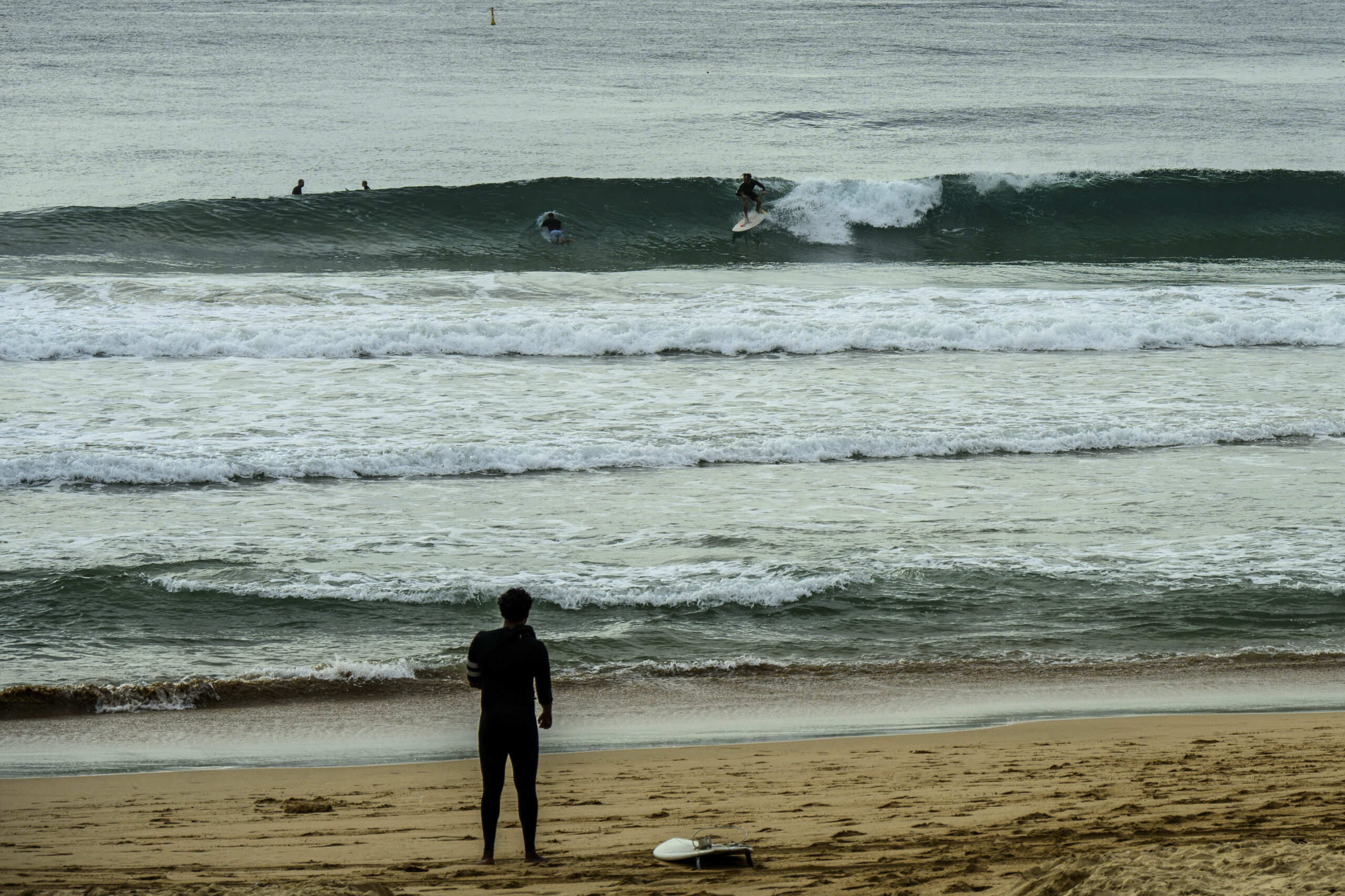
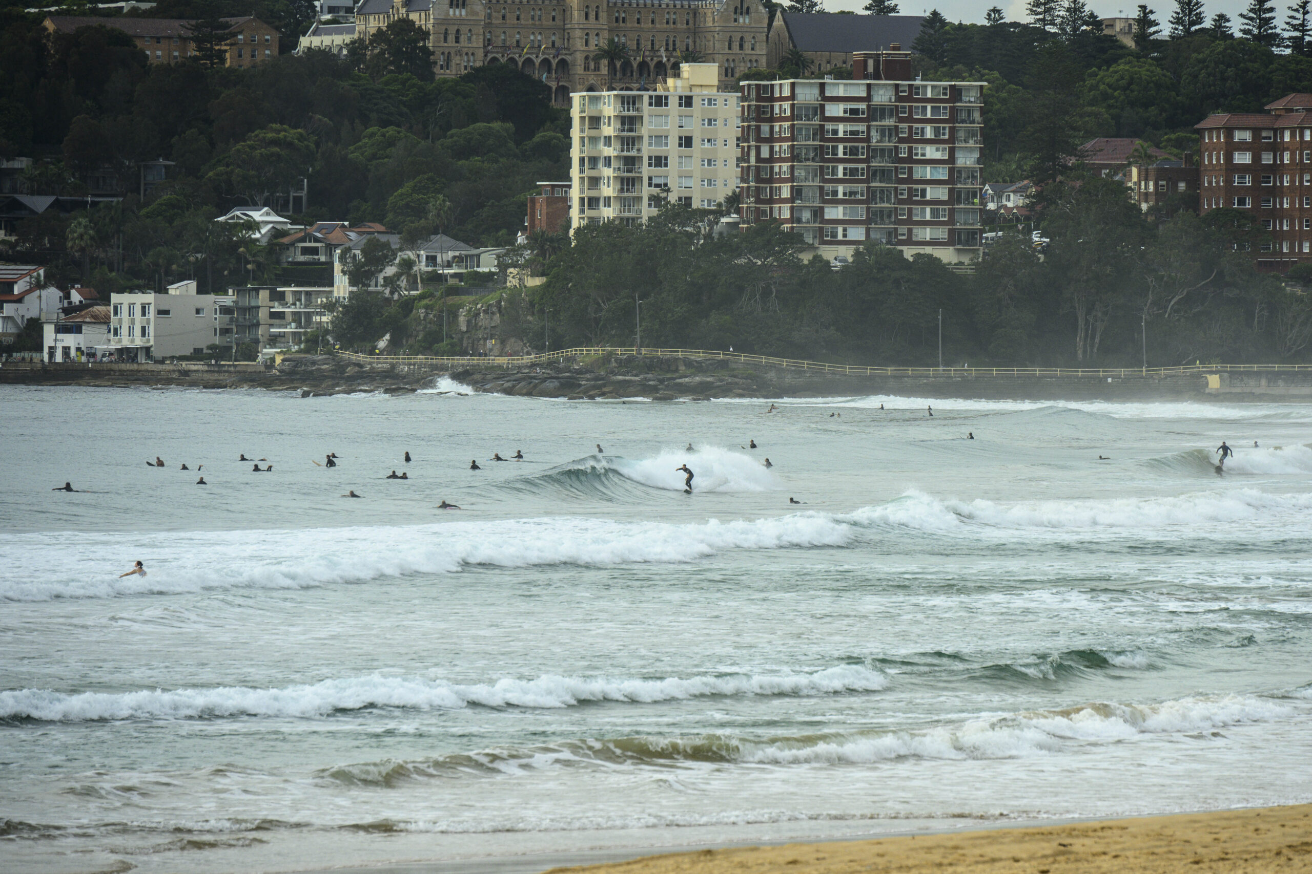
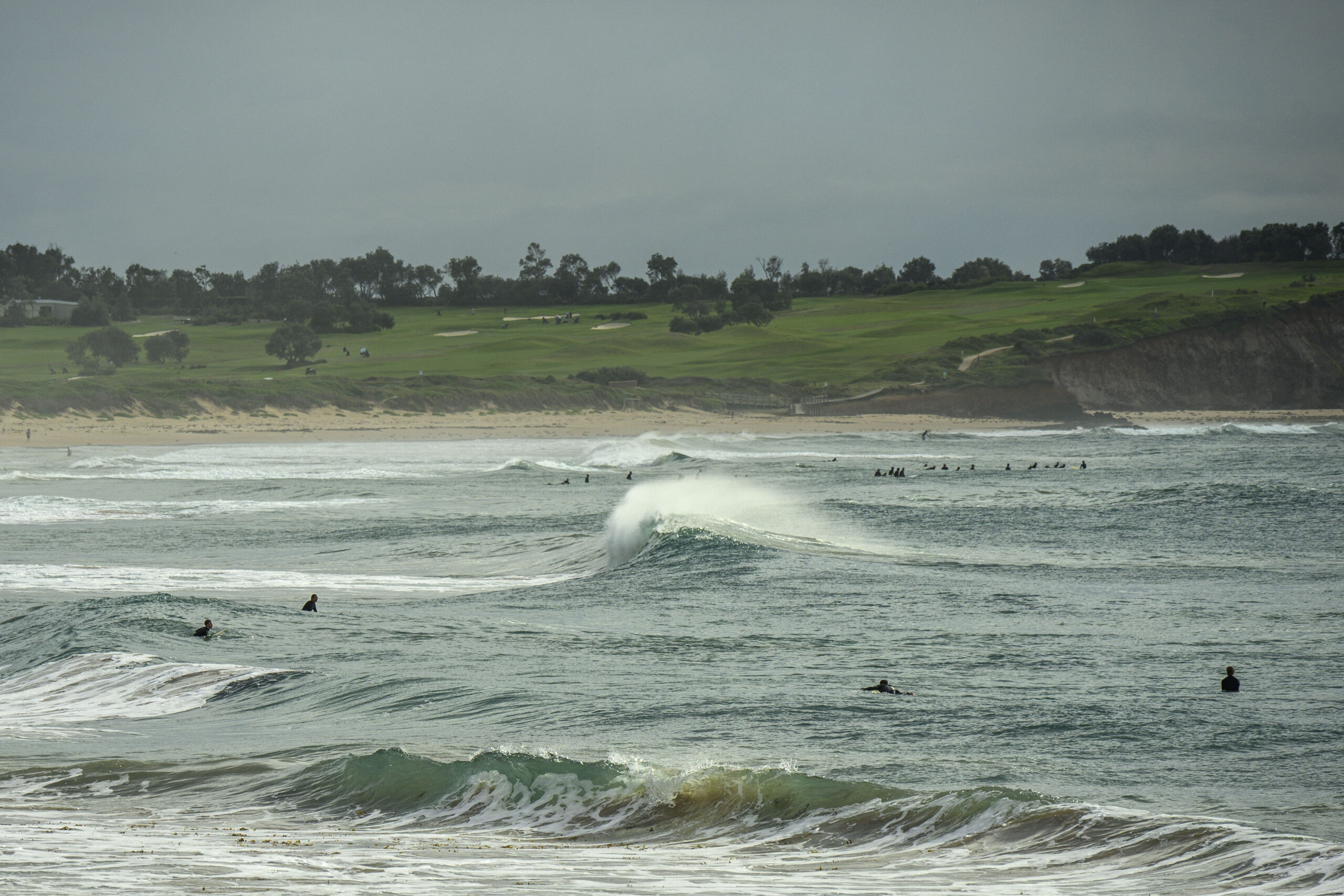
Manly
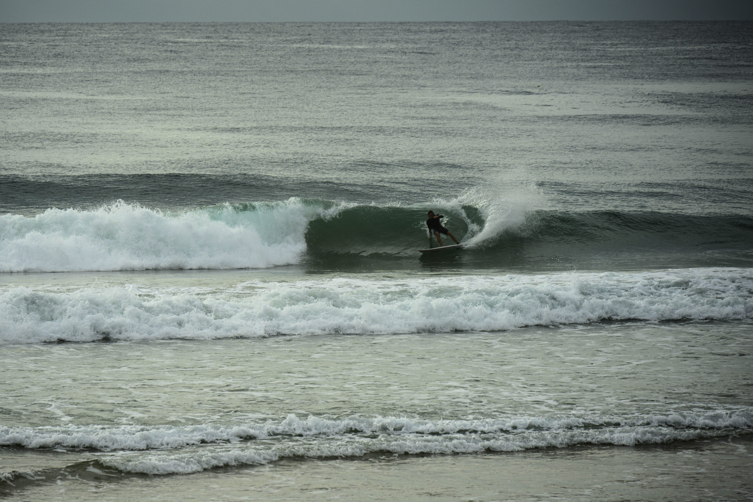
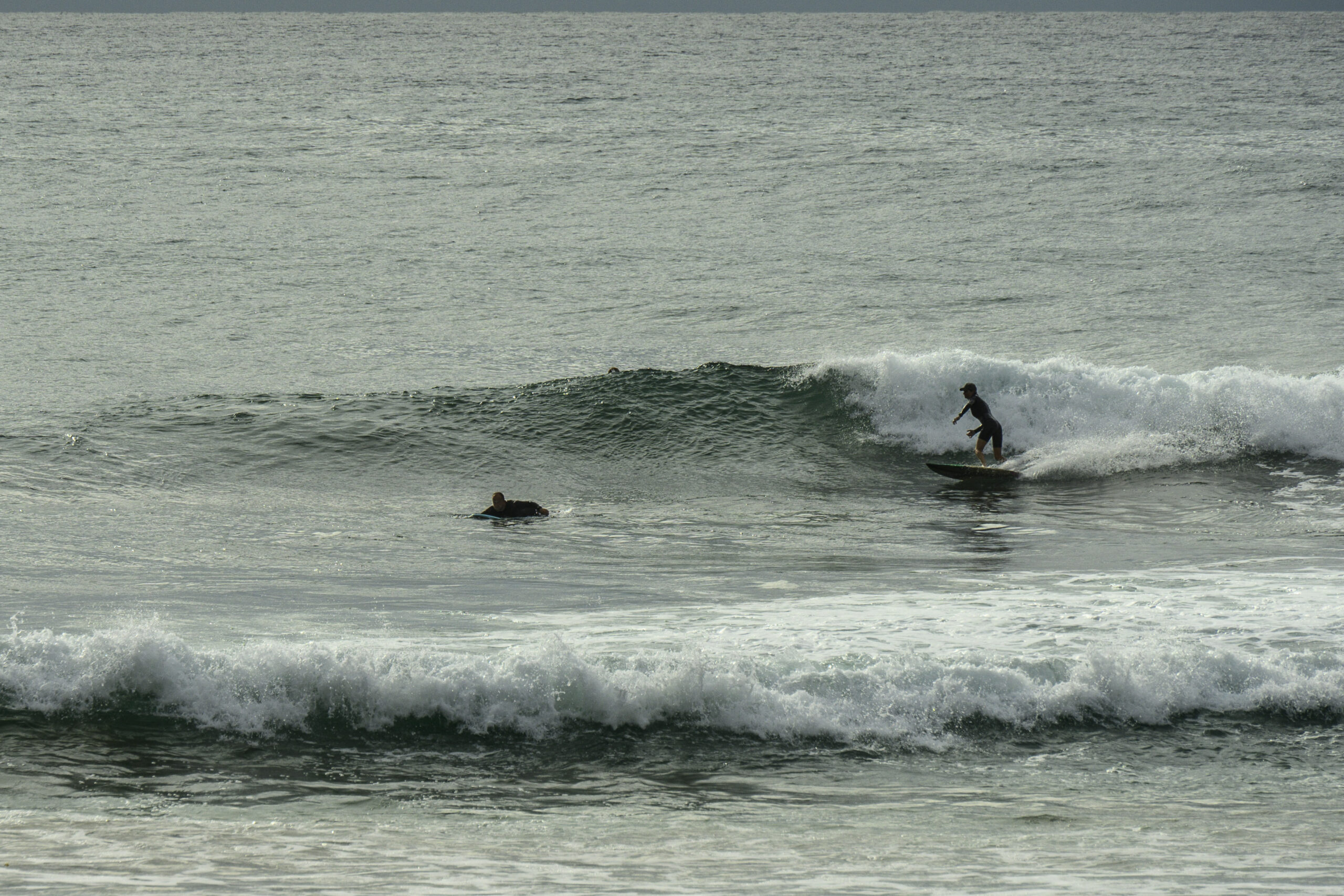
Dee Why
Weather Situation
A weak trough lies along the New South Wales coast while a high pressure system is gradually moving east across the Tasman Sea. This high will extend a ridge towards the coast and replace the trough later today into Tuesday. After this north to northeasterly winds are forecast to increase ahead of an approaching cold front, which looks set to bring a strong and gusty southerly change to the coast on Wednesday and Thursday.
Forecast for Monday until midnight
Strong Wind Warning for Monday for Sydney Coast
- Winds
- Northeasterly 15 to 20 knots, reaching 20 to 30 knots offshore in the evening.
- Seas
- 1.5 metres, increasing to 1.5 to 2.5 metres around midday.
- 1st Swell
- Northeasterly 1 to 1.5 metres, increasing to 1.5 to 2 metres during the afternoon.
- 2nd Swell
- Southerly around 1 metre.
- Weather
- Partly cloudy. 90% chance of showers. The chance of a thunderstorm.
Tuesday 19 March
Strong Wind Warning for Tuesday for Sydney Coast
- Winds
- Northeasterly 15 to 25 knots increasing to 20 to 30 knots in the evening then tending northerly in the late evening.
- Seas
- 2 to 3 metres.
- 1st Swell
- Northeasterly 1 to 1.5 metres inshore, increasing to 1.5 to 2 metres offshore.
- 2nd Swell
- Southerly around 1 metre.
- Weather
- Partly cloudy. 60% chance of showers. The chance of a thunderstorm offshore.
Wednesday 20 March
- Winds
- Northerly 20 to 30 knots shifting southerly 25 to 35 knots during the afternoon.
- Seas
- 2 to 3 metres.
- 1st Swell
- Northeasterly 1 to 1.5 metres inshore, increasing to 1 to 2 metres offshore.
- 2nd Swell
- Southerly around 1 metre.
- Weather
- Partly cloudy. 90% chance of showers. The chance of a thunderstorm.


