Surf forecast issued Thursday 23 May 2013: Seven day outlook for Sydney:
Up and messy and down and up… with cold/cool air – I’m not getting too excited myself
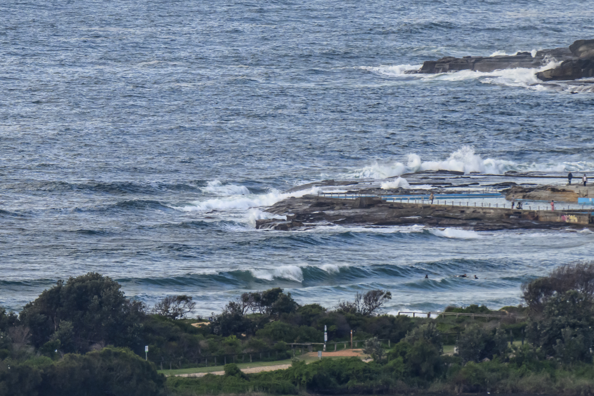
Friday, Saturday: in the 1-2 metre range East South East
Sunday, Monday: going down through the 1-2 metre range as swell turns more to the South
Tuesday, Wednesday: less than 1 metre or nothing much dead South places, nothing at others
Thursday, Friday: coming up into the 1 metre, then 1-2 metre range at dead South places (but not at others)
Water temp is around 22-23.
Weather from the Bureau:
Forecast for the rest of Thursday
- Summary

- Max 15
- Rain, heavy at times.
- Chance of any rain: 95%

Sydney area
Cloudy. Rain, heavy at times. The chance of some thunder. Winds southeasterly 20 to 30 km/h turning southerly 20 to 25 km/h in the late evening.
UV Alert from 11:40 am to 12:00 pm, UV Index predicted to reach 3 [Moderate]
Friday 24 May
- Summary
- Min 13
- Max 19
- Rain, heavy at times.
Sydney area
Cloudy. Rain, possibly heavy at times, easing to scattered showers during the evening . Winds south to southeasterly 20 to 30 km/h.
Saturday 25 May
- Summary

- Min 13
- Max 21
- Early shower or two.
Sydney area
Isolated showers in the morning. Mostly sunny afternoon. Winds southwesterly 15 to 25 km/h becoming light during the day.
Sunday 26 May
- Summary

- Min 11
- Max 21
- Mostly sunny.
Sydney area
Areas of fog and frost in the west early in the morning. Mostly sunny day. Light winds.
Monday 27 May
- Summary
- Min 11
- Max 21
- Mostly sunny.
Sydney area
Mostly sunny. Light winds becoming southerly 15 to 20 km/h later.
Tuesday 28 May
- Summary
- Min 13
- Max 20
- Shower or two.
Sydney area
Partly cloudy. Isolated showers. Light winds.
Wednesday 29 May
- Summary
- Min 12
- Max 21
- Shower or two.
Sydney area
Partly cloudy. Isolated showers. Winds north to northwesterly and light.