The Goat’s Surf Forecast
Surf forecast issued Thursday 10 June 2021: Seven day outlook for Sydney:
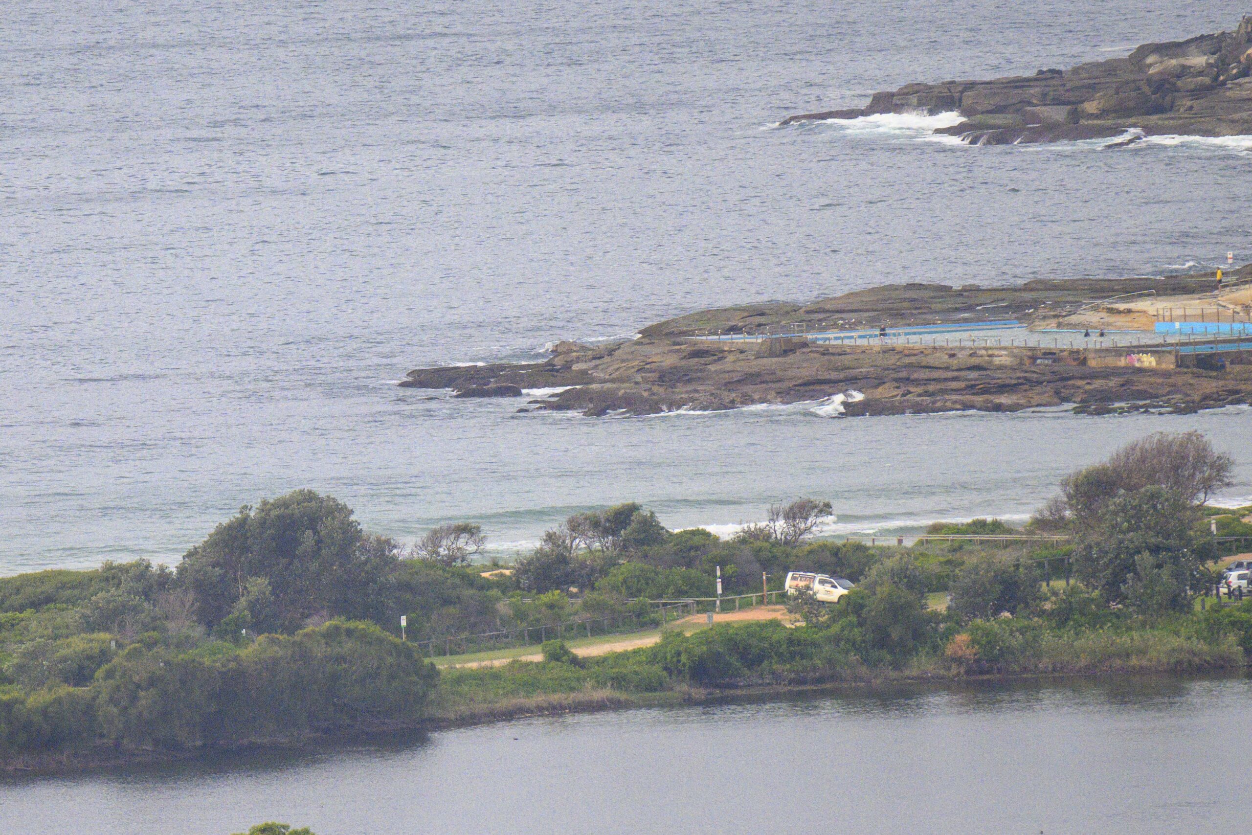
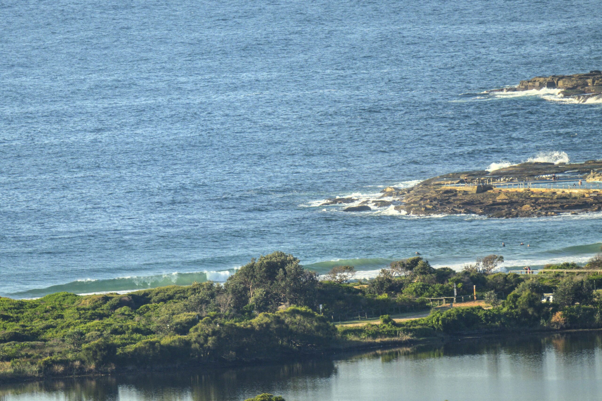
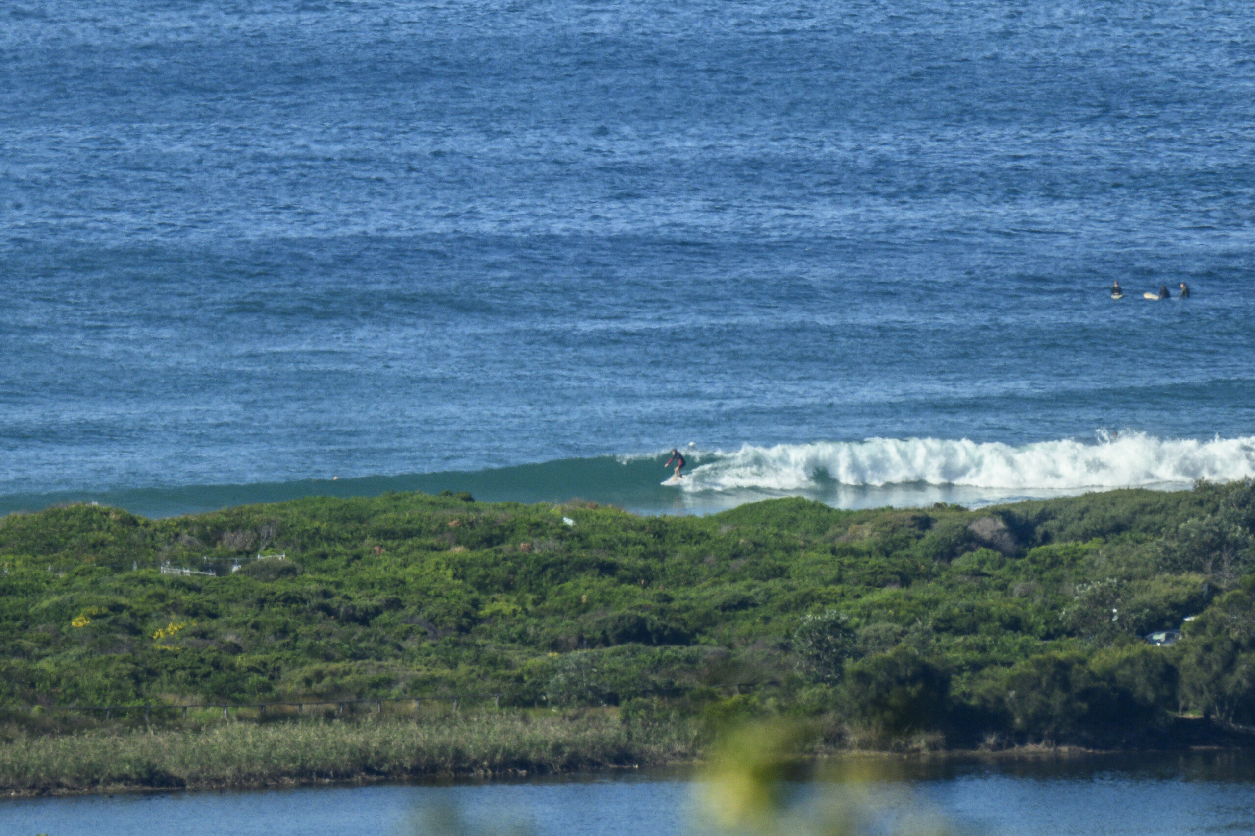
I saw people in the water today and yesterday, but there weren’t very many despite some pleasant looking little waves rolling in. TG decided they weren’t nice enought to entice him, as it was officially too cold for him to even consider getting wet…he’s pretty smart.
Surf outlook is for continuing small waves, but some could be a bit of fun for those not bothered by the cold.
Friday: around 1 or 1+ metres from East
Saturday: around 1 or 1 + metres from East South East, then getting smaller through the day
Sunday: 1 metre or less East South East
Monday: coming up a little at South facing spots maybe 1 or so metres
Tuesday: down again 1 metre or less Eastish
Wednesday: around 1 ish metre or less Eastish
Thursday: maybe coming up slightly say 1 or 1+ metres Eastish
Stay warm.
TG.
Up in the Air

Have a look at this Low moving around like a spinning top – how would you know where that’s likely to end up!? No wonder they are hard to predict.
http://www.bom.gov.au//charts/4day_col.shtml

Winds
https://www.windy.com/-33.850/151.220?-34.368,151.221,8,m:cIKaknd
Down in the Sea
Water temp is about 19

Tides
https://roads-waterways.transport.nsw.gov.au/documents/maritime/usingwaterways/tides-weather/tide-tables-2020-2021.pdf
Weather from the Bureau
Forecast for the rest of Thursday
- Summary

- Showers.
- Chance of any rain: 90%

Sydney area
Cloudy. Very high (90%) chance of showers, with possible small hail early this evening. Light winds.
Sun protection not recommended, UV Index predicted to reach 2 [Low]
Friday 11 June
- Summary

- Min 6
- Max 16
- Cloudy.
- Possible rainfall: 0 to 0.2 mm
- Chance of any rain: 30%

Sydney area
Cloudy. Slight (20%) chance of a shower, most likely in the early morning. The chance of morning fog in the west. Light winds becoming west to northwesterly 20 to 30 km/h in the morning then becoming light in the late evening.
Sun protection not recommended, UV Index predicted to reach 2 [Low]
Saturday 12 June
- Summary

- Min 8
- Max 19
- Sunny.
- Chance of any rain: 0%

Sydney area
Sunny. The chance of morning frost in the outer west. Winds northwesterly 20 to 30 km/h becoming light in the late afternoon.
Sun protection not recommended, UV Index predicted to reach 2 [Low]
Sunday 13 June
- Summary

- Min 7
- Max 19
- Mostly sunny.
- Chance of any rain: 0%

Sydney area
Mostly sunny. The chance of morning frost in the outer west. Light winds.
Sun protection not recommended, UV Index predicted to reach 2 [Low]
Monday 14 June
- Summary

- Min 9
- Max 18
- Partly cloudy.
- Chance of any rain: 10%

Sydney area
Partly cloudy. Slight (20%) chance of a shower along the coastal fringe, near zero chance elsewhere. Light winds.
Tuesday 15 June
- Summary

- Min 9
- Max 20
- Partly cloudy.
- Chance of any rain: 20%

Sydney area
Partly cloudy. Slight (20%) chance of a shower. Light winds.
Wednesday 16 June
- Summary

- Min 9
- Max 20
- Shower or two.
- Possible rainfall: 1 to 5 mm
- Chance of any rain: 60%

Sydney area
Partly cloudy. Medium (50%) chance of showers, most likely later in the day. Light winds.
Thursday 17 June
- Summary

- Min 10
- Max 19
- Partly cloudy.
- Possible rainfall: 0 to 5 mm
- Chance of any rain: 30%

Sydney area
Partly cloudy. Slight (30%) chance of a shower. Light winds becoming west to northwesterly 15 to 20 km/h during the day.


