Hello Friends,
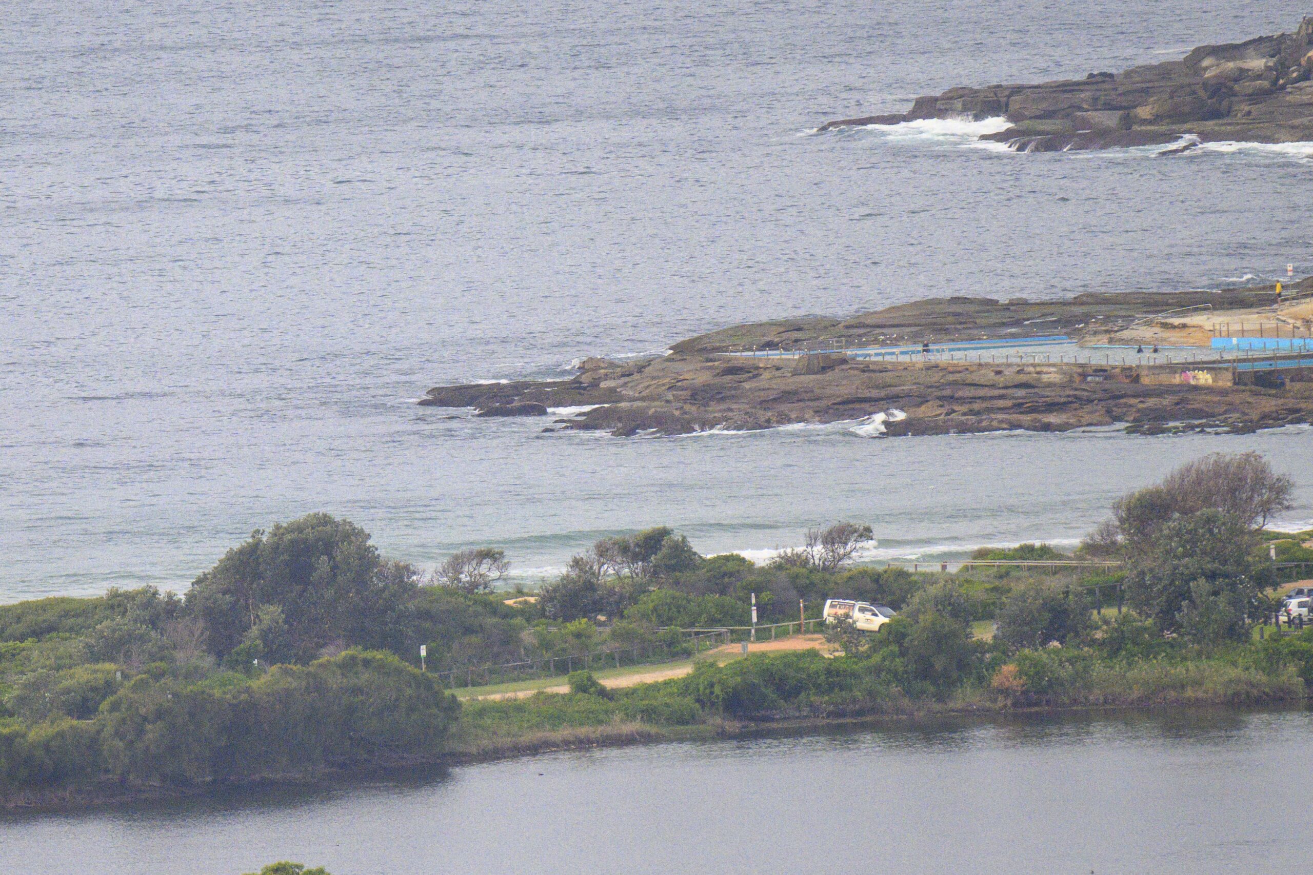
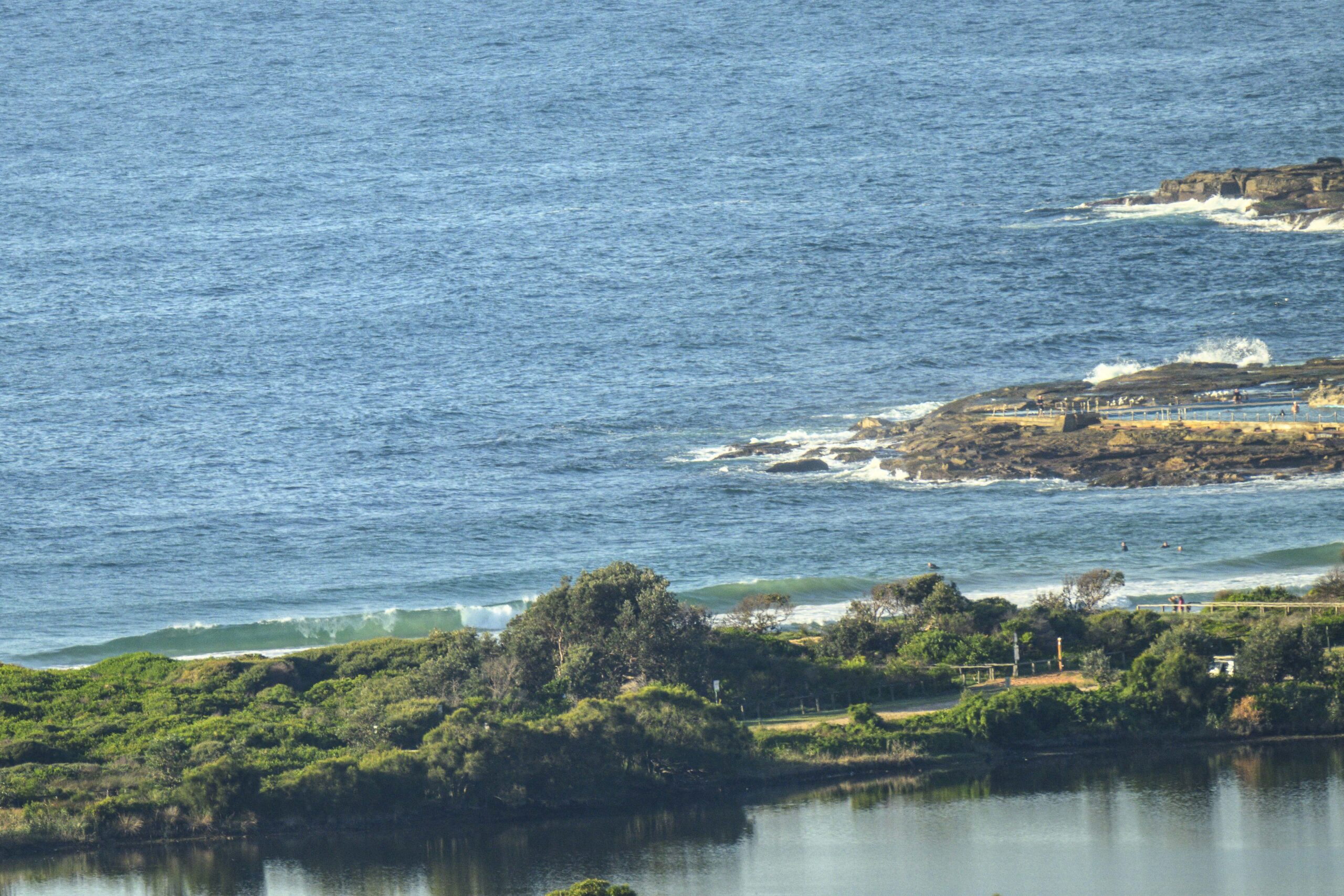
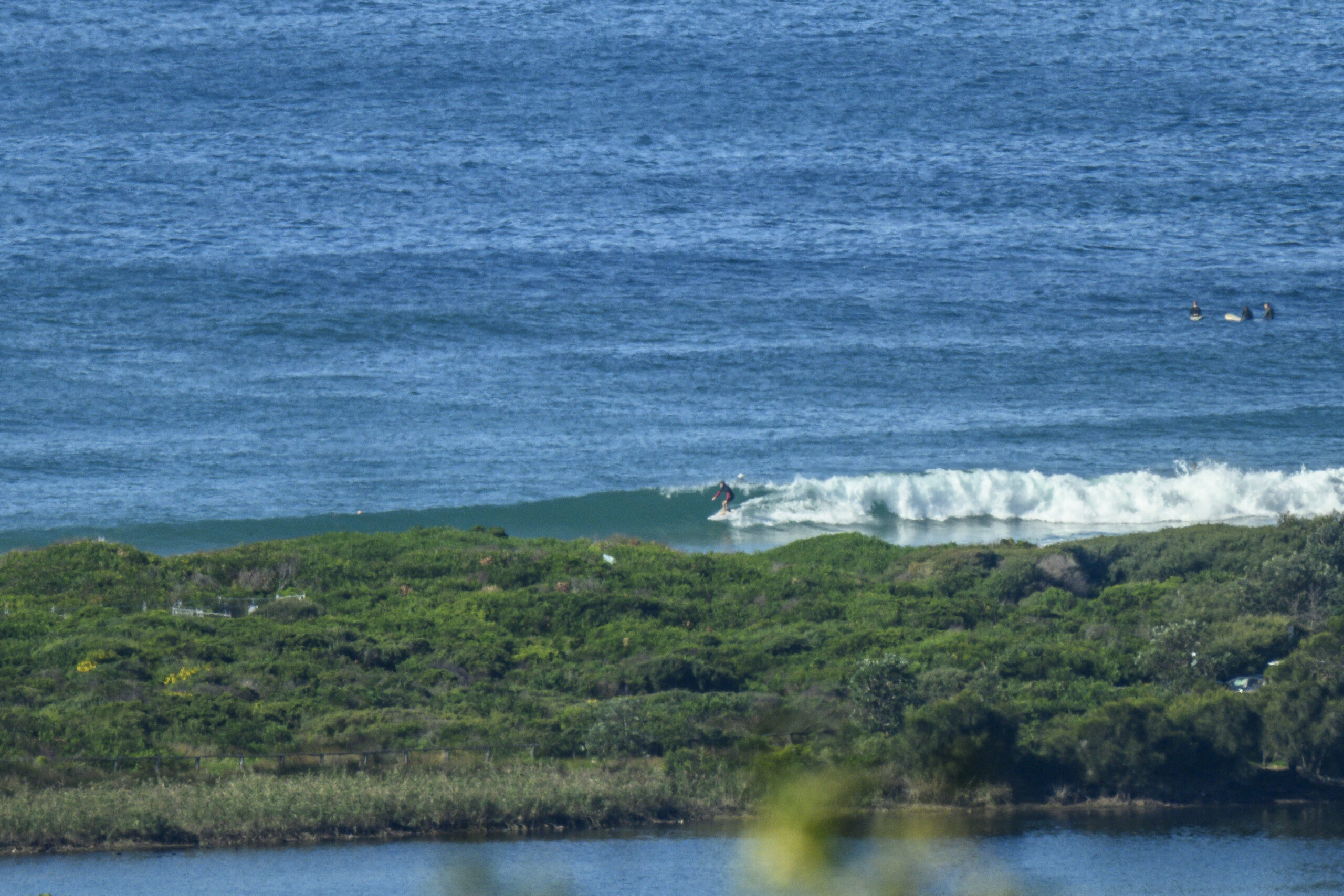
Not the most inspiring looking conditions along the northern beaches this morning. Dee Why was junky and wind chopped at 0715 when I grabbed the first pic of the new day. And I guess that’s not surprising when the wind is coming from the east around to ESE at around 10-15 kts.
The MHL Sydney buoy is showing a metre from the SE at about 8 seconds apart – essentially what we had yesterday.
It has to be said that the Bureau’s current outlook four our region is not particularly encouraging. At least it’s not looking as though it’ll go flat, but the quality promises to be, shall we say, variable.
Sydney Coastal Waters, Broken Bay to Port Hacking and 60nm seawards:
Wednesday until midnight: Wind: E 10/15 knots reaching 15/20 knots at times, tending NE later. Sea: 1 to 1.5 metres. Swell: E/SE 1.5 to 2 metres.
Thursday: Wind: E/NE 10/15 knots, reaching 15/20 knots at times. Sea: 1 to 1.5 metres. Swell: SE 1.5 to 2 metres.
Friday: Wind: NE 15/25 knots.
As our man in Byron has reported overnight, they’re now getting obvious energy from Hamish. Here’s the Bureau again:
Severe Tropical Cyclone Hamish is currently slow moving. It is expected to continue to weaken and turn to the northwest later today.
A large high pressure system over the western Tasman Sea in combination with Severe Tropical Cyclone Hamish is producing strong to gale force winds and large waves about the southeast Queensland coast. A separate Severe Weather Warning is current between Sandy Cape and Coolangatta for these conditions.
I’ll update the Hamish post later today. In the meantime, I shall fearlessly go forth in search of a wave to photograph for you this morning. So, more later!


