Hello Friends,
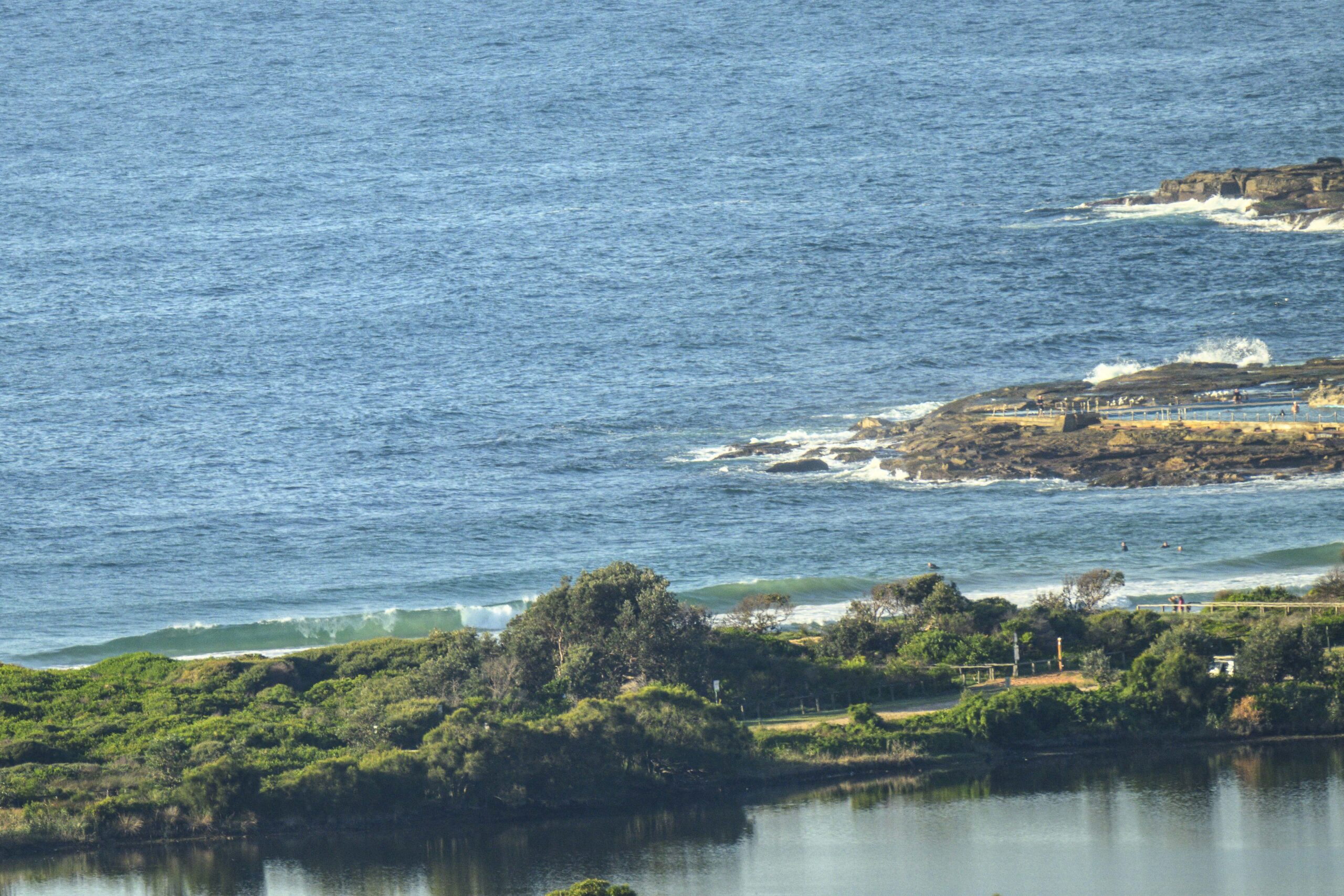
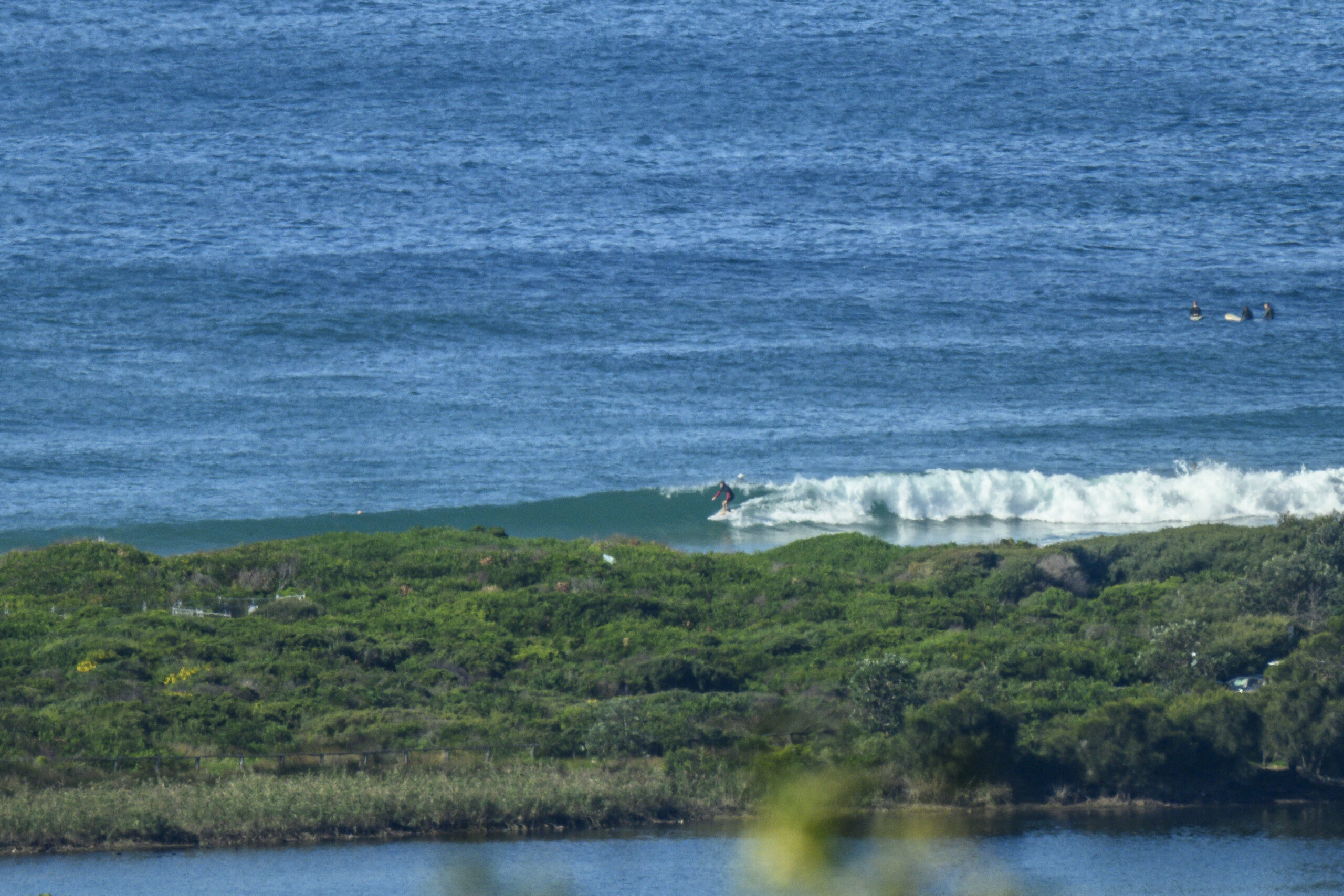
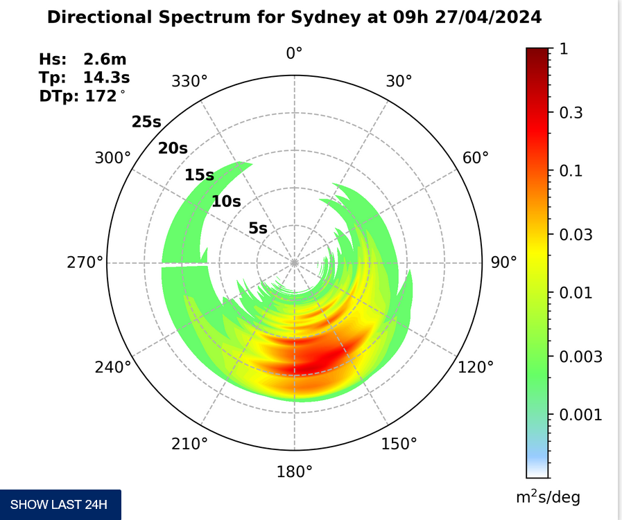
Nothing much happening at Dee Why this morning. The main swell direction is easterly. It’s about a metre but the period is a marginal 8 seconds, so there’s not much above the knee to waist high range. You might do a bit better than that at other spots, but I’d be keeping the expectations modest.
Once that change blows through tonight, we look set to be left with a so-so Monday morning. I’m not overly hopeful on that front. But the middle of the week is still looking okay, if not spectacular, on the models. A broad area of easterly windswell could move ashore from around Tuesday. I’m hoping for chest high plus around Wednesday at spots that like the swell direction.
Have yourself a top old Sunday!
Tides: L:0810, H:1458
Synoptic Situation
Increasing northerly winds ahead of a cold front expected on the far South Coast Sunday night and most of the remainder of the coast during Monday.Sydney Coastal Waters, Broken Bay to Port Hacking and 60nm seawards:
Strong Wind Warning.
Sunday until midnight: Wind: NW/NE 15/20 knots increasing to 20/30 knots in the afternoon.Sea: 1 to 2 metres rising to 2 to 3 metres.Swell: NE 1 to 1.5 metres.
Monday: Wind: SW/SE change 20/25 knots early.Sea: 1.5 to 2.5 metres. Swell: E/NE 1 to 1.5 metres tending SE later.
Tuesday: Wind: E/SE 10/15 knots.


