Marginal swell but a perfect morning otherwise
Hello Friends, Warm with light and variable WNW breeze as of 0800 on sunny Sunday morning. There’s a tiny 8-second period east wind bump drifting into Dee Why but it seemed to be getting swamped by the 0745 high tide. The Bureau says the wind’ll come around to the west and be into the 25-30 […]
Back to marginal numbers for awhile in Sydney
Hello Friends, At 0200 the MHL Sydney buoy was show a metre of 8 second east wind swell. Wind was NNW 8-10 kts. Tide’s low at 0800. The Bureau has issued a gale warning for the Sydney coast for NW 20-30 kts of wind. Wind should swing westerly overnight and then go back NW and […]
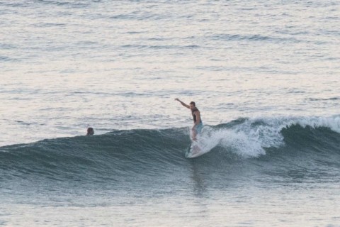
Knee to waist high at Dee Why this morning
Hello Friends, Getting into the marginal range this morning at the point. Swell’s coming from the east at around a metre with an average period of under 8 seconds. That means knee to waist on the catchable ones at the point, and something similar along the beach. Winds were light and from the N to […]
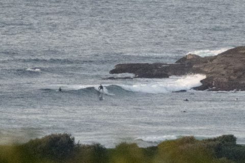
Saturday morning little fun ones at the right spots
Hello Friends, Less than a metre of swell coming from the east this morning with an average period of close to 8 seconds. Only a few spots were lighting up at all – Northy (join the crowds) and No Mans at Dee Why (ditto). Set wave faces were into the waist plus range and it […]
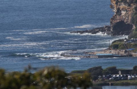
Marginal but do-able early at east spots

Hello Friends, Heading toward low tide at 0910 and as of 0700 the wind was still lightly from the NW. Hardly any swell showing. Dee Why was the realm of SUPs but elsewhere the generally east direction of the knee to waist wind swell could be delivering the odd diversion. The wind is due to […]
Too tiny
Hello Friends, Quiet wave-wise up and down the east coast this morning. At O730 Dee Why was showing only the odd knee high dribbler thanks to a weak east swell of about a metre at 8 seconds. Wind was light from the west. Tide was high at 0715 and will be back to low at […]
Small Saturday, but not flat Saturday
Hello Friends, We had a small 8 second period east wind swell and light westerlies as dawn spread her rosy tipped fingers across the eastern sky. I was thinking there could be the odd knee to waistish offering at favourably angled stretches of sand. Banks – or rather the lack thereof – will continue to […]
Saturday surfin?
Hello Friends, Light westerly breeze and clear skies before dawn and a touch over a metre of 8 sec period east wind swell reported at 0200. It should be getting bigger as the day goes along. Winds will be out of the N to NE later and this evening will see a south change. As […]
Another tiny day for Dee Why
Hello Friends, Pretty quiet at Dee Why this morning. Only person I could see in the water was a kayak user. Looked to be the best option for catching waves too. Wave faces on the bigger ones are probably around knee to waist-ish. But there are no banks as such and with only a metre […]
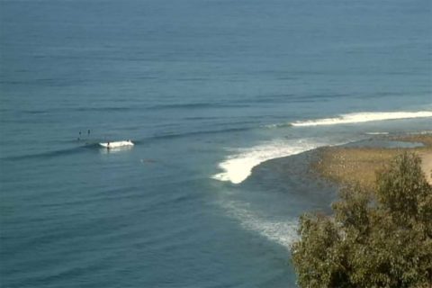
Little waves on a sunny Tuesday morning
Hello Friends, This morning sees a small but catchable east wind swell of about a metre coming into Dee Why with an average period around 8 seconds. Set waves are in the waist high range, but there are definitely a few bombs pushing up toward the chest high mark. There was a light breeze from […]