Hello Friends,
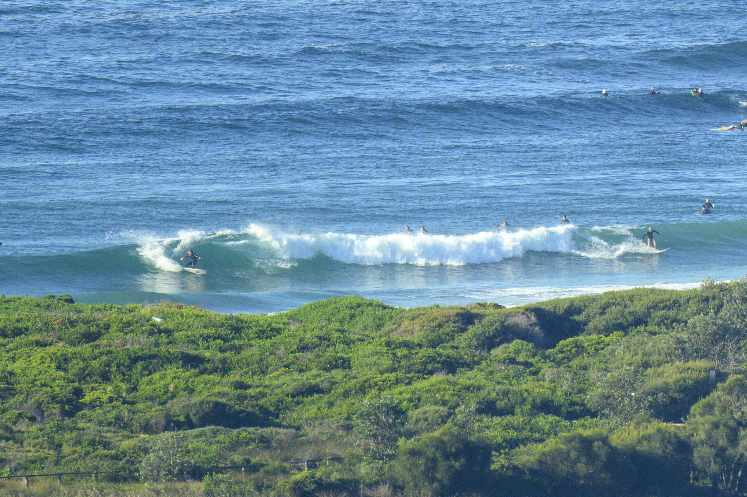
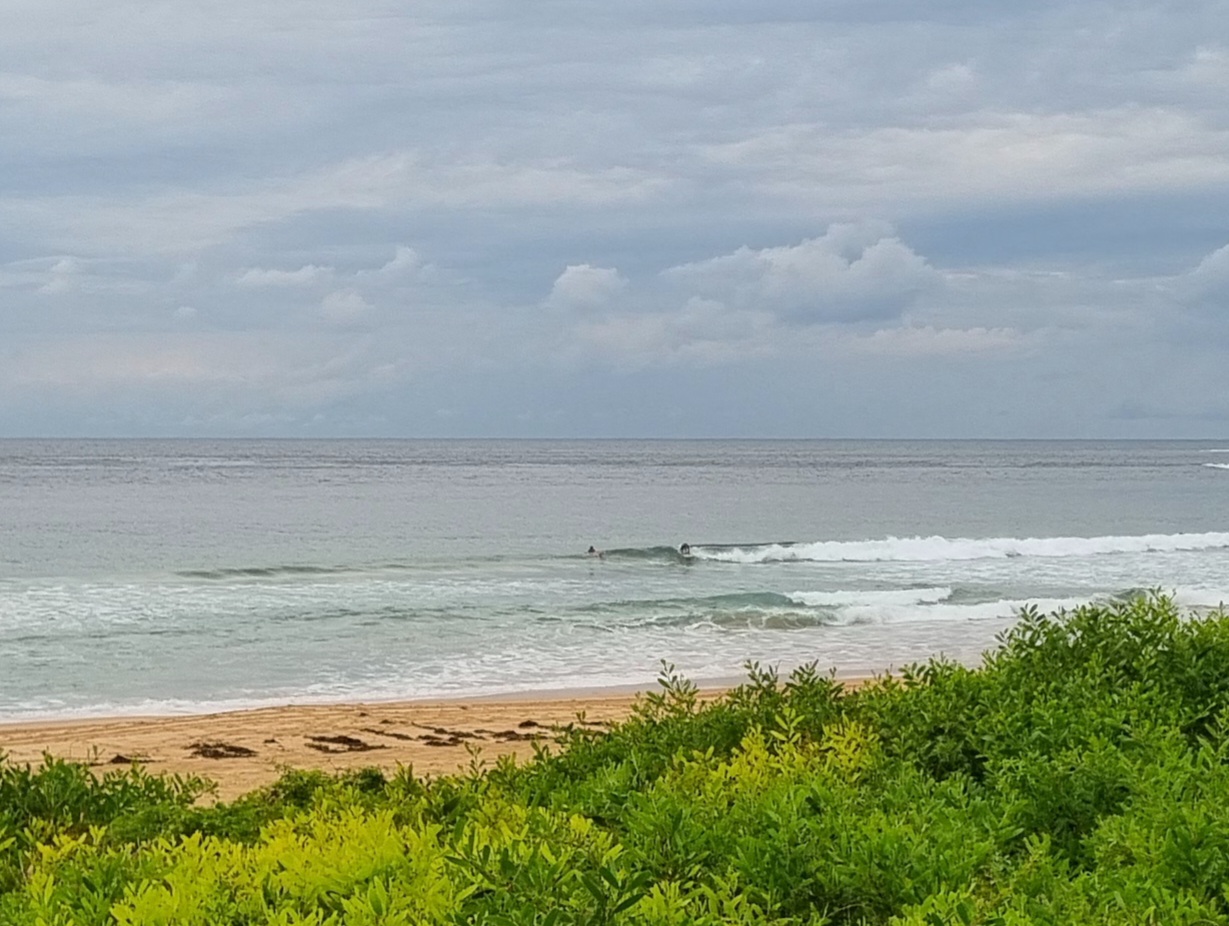
There were waves around today at lots of places and the water is still warm. But weirdly the places I checked were all unusually lightly crowded for a Sunday. Maybe it was the cloudy skies and cool air temps… dunno, particularly considering how under much less nice conditions yesterday there were a lot more people in the water.
Go figure.
The settings haven’t changed much over the daylight hours, but there is a distinctive downward tilt to the trends and the call for tomorrow on the models is for a slight decrease. So it might be a little smaller tomorrow, but if you found something today, first stop tomorrow should probably be there again.
Judging from the latest forecast, the water should stay unseasonably warm for another week.
Latest run of the models is still showing good prospects for Thr-Sat. So that’s a good thing!


Monday tides: H @1015, L @1640
Forecast for Monday
Cloud increasing and light rain developing later. Light to moderate
northwest to northeast winds.
Precis: A little rain later.City: Min: 12 Max: 19 Parramatta: Min: 9 Max: 19
Terrey Hills: Min: 11 Max: 17Sydney Coastal Waters, Broken Bay to Port Hacking and 60nm seawards:
Sunday until midnight: Wind: South to southeasterly decreasing to 5 to 10 knots late afternoon or early evening.Sea: less than 1 metre. Swell: south to southeasterly 1 to 1.5 metres.
Monday: Wind: Light and variable winds tending northeasterly up to 10 knots during the afternoon.Sea: below about 1 metre.Swell: South to southeasterly 1 to 1.5 metres.
Tuesday: Wind: Northeast to northwesterly 10 to 15 knots.
Wednesday: Wind: West to northwesterly 5 to 10 knots tending south to southwesterly 10 to 20 knots during the morning ahead of a southeasterly change 20 to 30 knots late afternoon.


