A few snaps from this morning
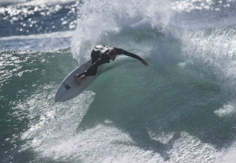
Big and raw for Monday morning
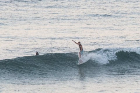
Hello Friends, Light west wind early under sunny skies with a 10-sec 3.6m lumpy SSE swell piling into Dee Why. As the pictures show, there were a few stalwarts out at the point looking for the makeable ones and duck diving the rest. The beach was at least as big, but I doubt it’s be […]
Waves for Saturday
hello Friends, Scrappy and small at the Dee Why end of the beach, but there should be waist to chest energy at stretches of beach more receptive to the 2 metres of 8 second NE wind swell. Speaking of wind, it was 10-15 kts from the NW at 0730 but it should switch west later. […]
Surfable at Dee Why beach
Hello Friends, Happy Fathers Day fellow Dad’s. Looks like you could get a little waistto chest plus slider at the right peak this morning. Swell’s coming from the SE at around 9 seconds apart and the MHL buoy was hitting the 1.6 metre mark at 0600. Wind was light west as the sunny day got […]
Cleaner, smaller but not flat Saturday
Hello Friends, Overcast skies but light west wind for the early risers this morning. Swell’s dropped but as of 0500 the MHL buoy was showing 2.3 metres of 9-sec SE energy. Tide hit low at 0430 and is coming into the high at 1040. Some showers offshore and the Bureau says a 70% chance of […]
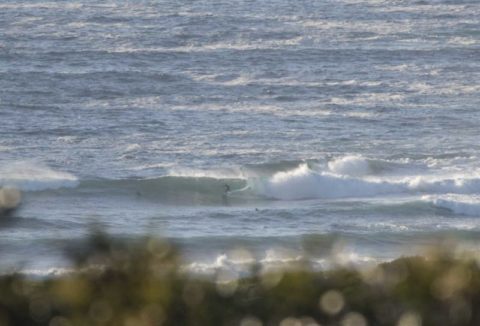
Waves to be had
Hello Friends, Only one person in the water at the point as of 0730 and yet, as the pictures show, there were definitely chest plus waves to be had. Couldn’t see much up the beach, but there should be the odd option around the Pole. Water’s pretty likely to be woofy though. Wind was light […]
Waves and crowds for Anzac Day morning
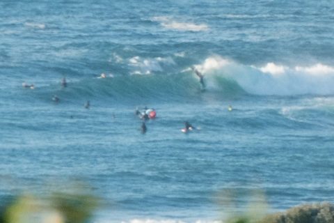
Hello Friends, Sunny skies and light offshores matched to about 1.5 metres of 9-second east swell and combined with an incoming tide (high’s at 1010) were delivering shoulder to head plus wave faces on sets at the point. As you can see from the pics, it was well populated by 0720. Size along the beach […]
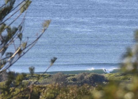
Good, Friday waves
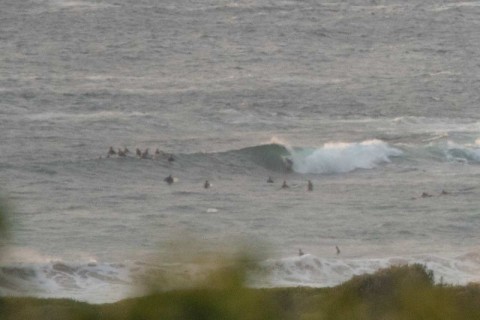
Hello Friends, Swell’s continued its very gradual decline overnight, but Dee Why point and the beach are still seeing head high wave faces on the sets. The latest MHL data for Sydney shows the swell coming from E by ESE at about 1.5 metres with an average period of close to 11 seconds. As the […]
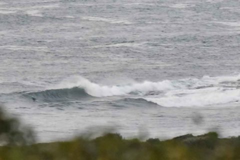
Saturday morning little fun ones at the right spots
Hello Friends, Less than a metre of swell coming from the east this morning with an average period of close to 8 seconds. Only a few spots were lighting up at all – Northy (join the crowds) and No Mans at Dee Why (ditto). Set wave faces were into the waist plus range and it […]
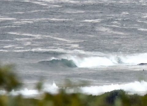
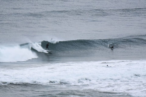
Gloomy skies again but some solid sets in the mix
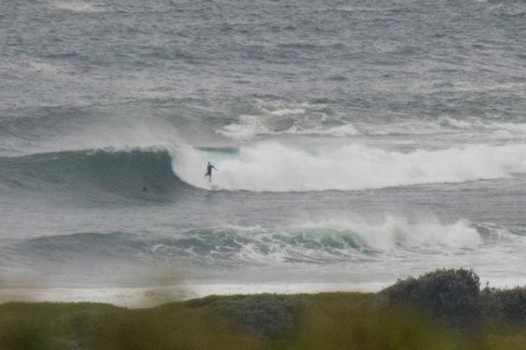
Hello Friends, The Bureau tells us it expects the swell to pulse up a little in the middle of the day. Given that there were overhead sets every now and again around 0700, it could get interesting. The day started out with more gloomy skies but very little wind. At 0400 the MHL buoy was […]