Hello Friends,
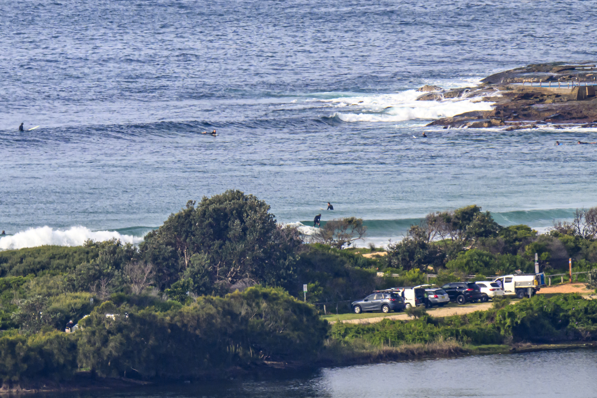
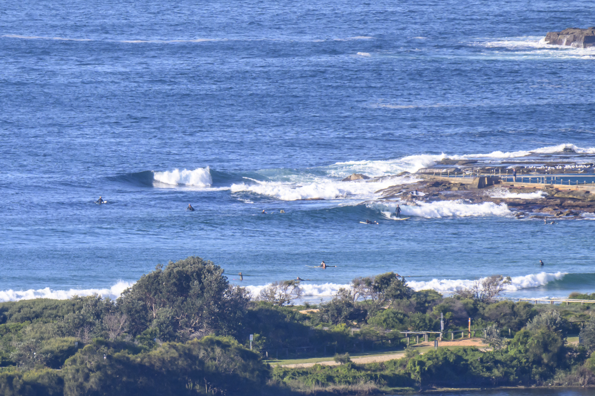
 Very cold start this morning. In fact it was so cold that I actually spotted some frost on the sand at south Narrabeen. Yikes! Waves are much smaller now. Places that were surfable yesterday were just about flat this morning. There were a few bods giving the shorey and the point a go at Dee Why, but the one metre SE swell just wasn’t doing anything.
The latest run of the swell forecast models this morning continues to show flatness for the next three days.
A long period (15 sec) pulse of an estimated duration of around 12 hours is currently showing up for Friday night – Saturday morning. If it develops as expected, south swell spots could be into the chest high range (with the odd bigger one of course). On current reckoning it seems we might still have some little ones around on Sunday, but it appears we’re then headed back into a day or two of very small. In the “I’ll believe it when I see it” department, one interpretation of the long range data has us getting another very long period pulse on Tuesday. The numbers are pretty stupid though (20 sec at around 1.5 metres) so I’d be taking that with many grains of salt at this stage.
Have yourself a top old Wednesday one and all!
Sydney Coastal Waters, Broken Bay to Port Hacking and 60nm seawards:
Wednesday until midnight: Wind: West to northwesterly 10 to 15 knots tending westerly 15 to 20 knots by early evening.Sea: Below 1 metre rising 1.5 to 2 metres offshore.Swell: Southerly below 1 metre.
Thursday: Wind: Westerly 15 to 20 knots tending west to southwesterly 10 to 15 knots around midday.Sea: Below 1 metre, rising up to 2 metres offshore during the morning.Swell: Southeasterly 0.5 metres tending easterly during the evening.
Friday: Wind: West to southwesterly 10 to 15 knots.