Hello Friends,
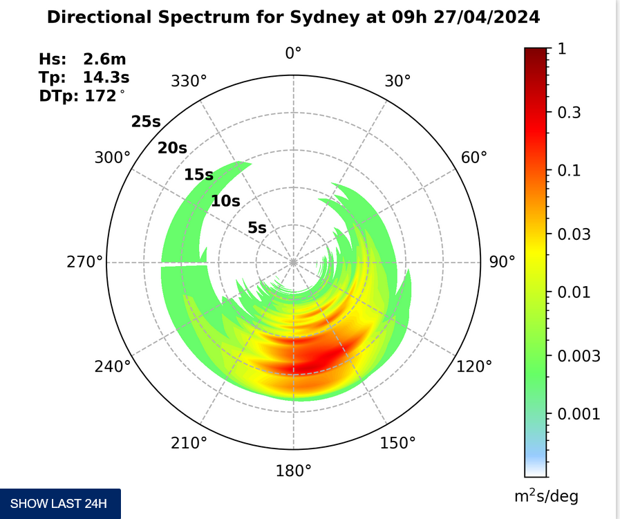
At about midnight the swell tracked around to the south off Sydney. At the same time it ramped quickly from less than a metre to almost 2.5 metres. All good, but for one essential detail: the average period is a mere 7 seconds (with a few into the 8 sec range). Wind was a brisk SSW asTuesday got rolling. The Bureau’s call is for it to tend southerly this evening and be 20-30 kts out at sea early before weakening slightly.
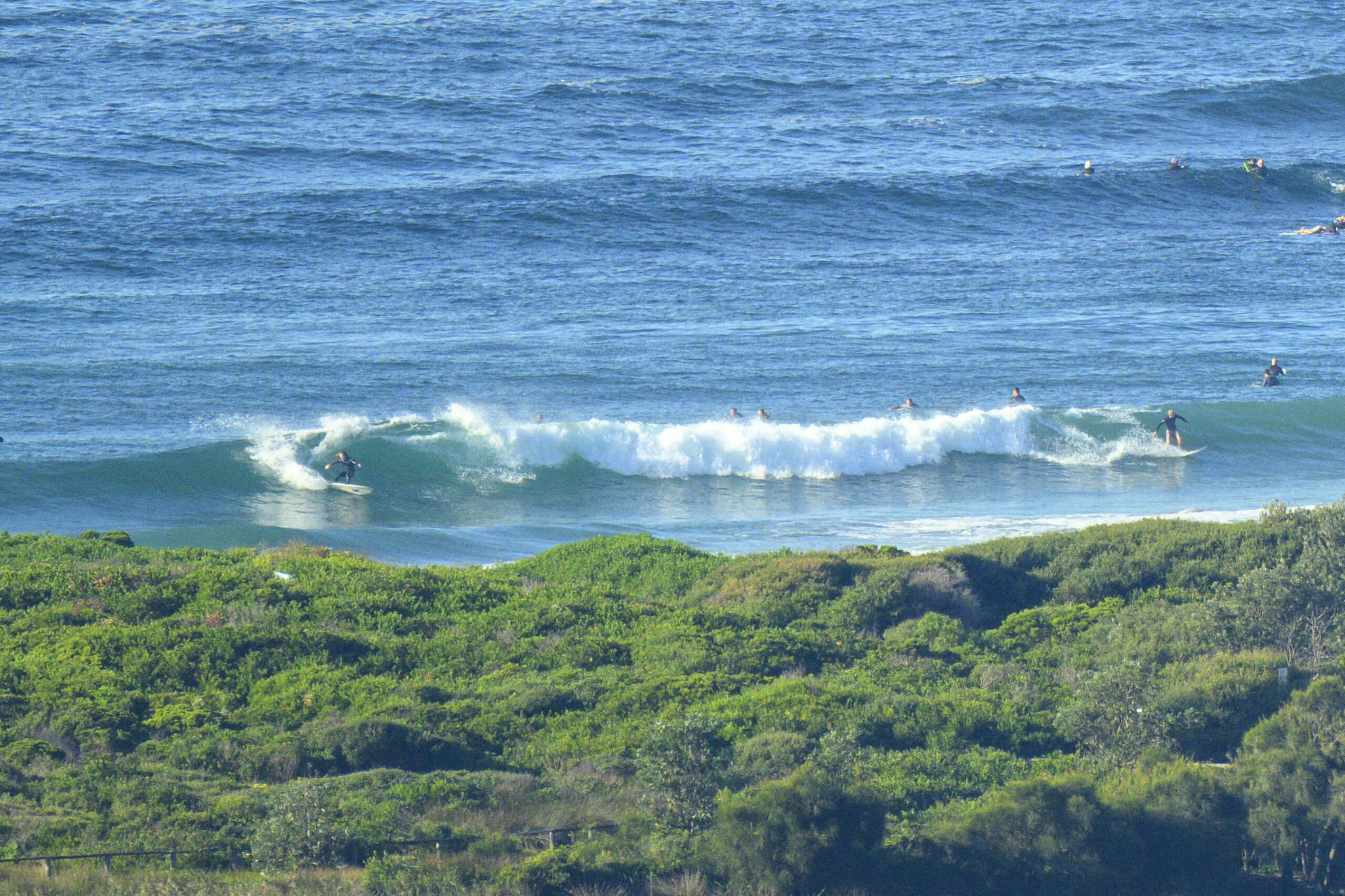
At 0730 there were only three or four people in the water at Dee Why. Sets looked to be in the waist high range, so I’d assume there would be the occasional bomb into the chest high zone. But the wind was cold up in the RealSurf crows nest, so I didn’t spend a real long time watching.
The swell energy looks likely to peak around midday before weakening back toward microness over the next 24 hours. Latest run of the models points toward smallness tomorrow before it pushes back up into about the size we’re expecting from this current pulse. The south to southwest wind regime seems set to continue as well… At this point, there does not seem to be any prospect of solid swell for our region over the next week or so.
The best prospects for a decent wave look like being along the far north coast late in the week.
Have yourself a top old day!
TIDES L @ 0900, H @1550
Sydney Coastal Waters, Broken Bay to Port Hacking and 60nm seawards:
Strong Wind Warning.
Tuesday until midnight: Wind: South to southwesterly 20 to 30 knots tending southerly 20 to 25 knots by early evening.Sea: Up to 3 metres decreasing to 2 metres by early evening.Swell: Southerly about 1.5 metres.
Wednesday: Wind: Southerly 15 to 20 knots tending south to southwesterly 20 to 25 knots by early evening.Sea: 1.5 to 2 metres.Swell: Southerly 1.5 metres.
Thursday: Wind: South to southwesterly 20 to 25 knots tending southerly 15 to 20 knots during the evening.


