Hello Friends,
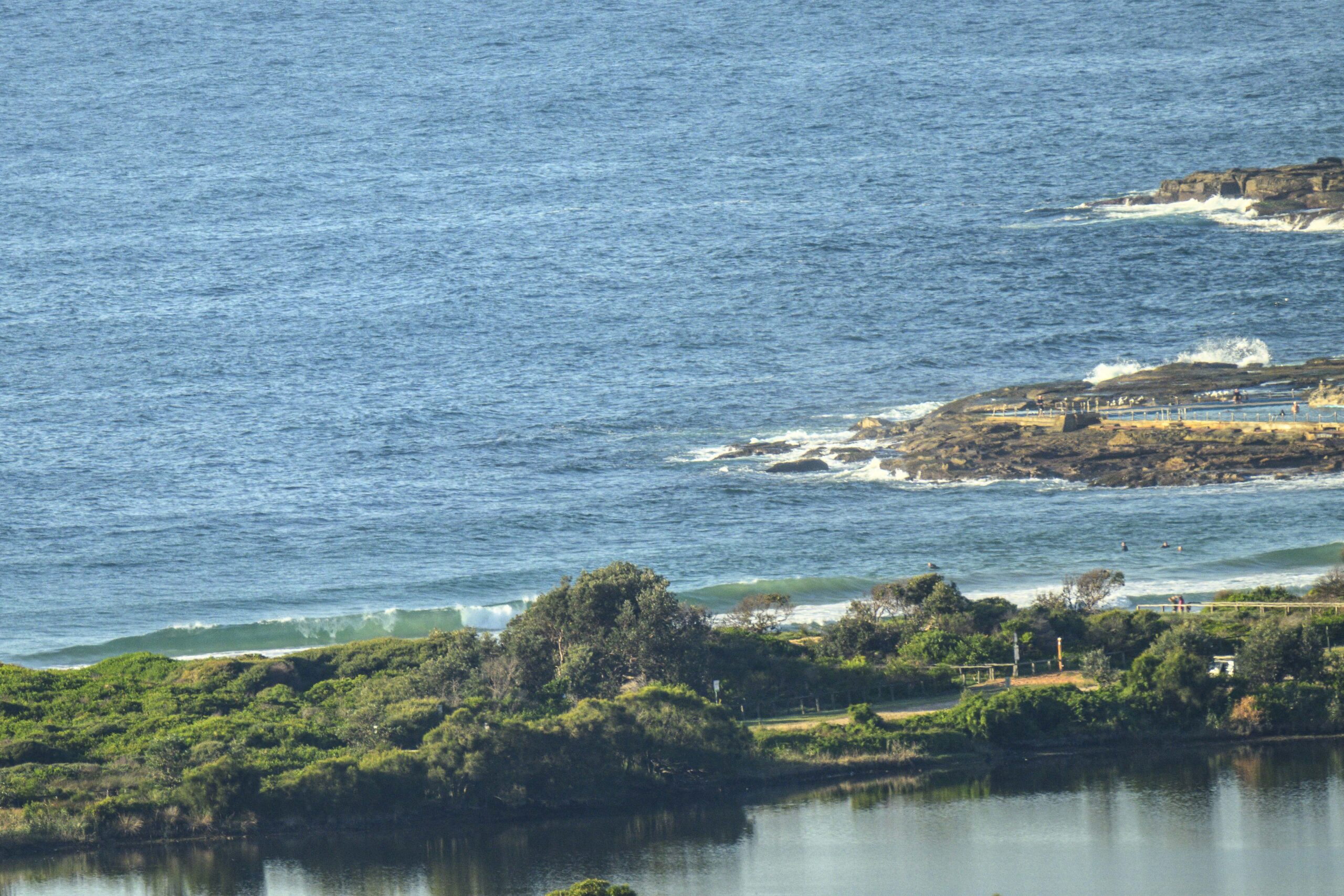
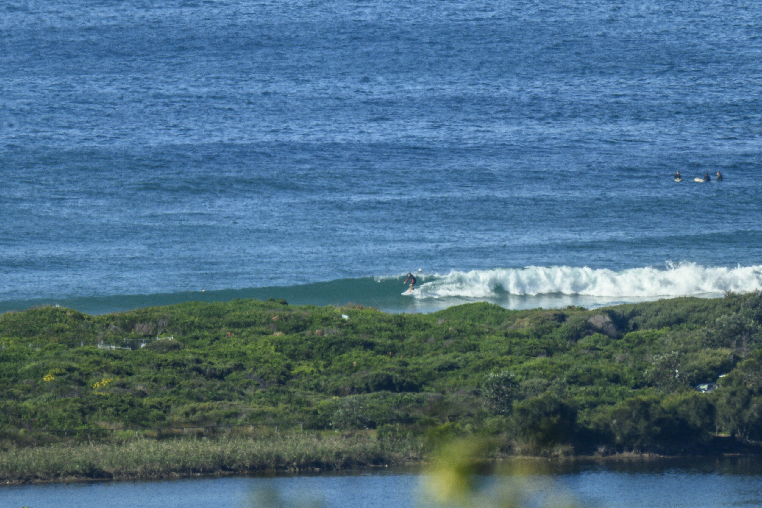
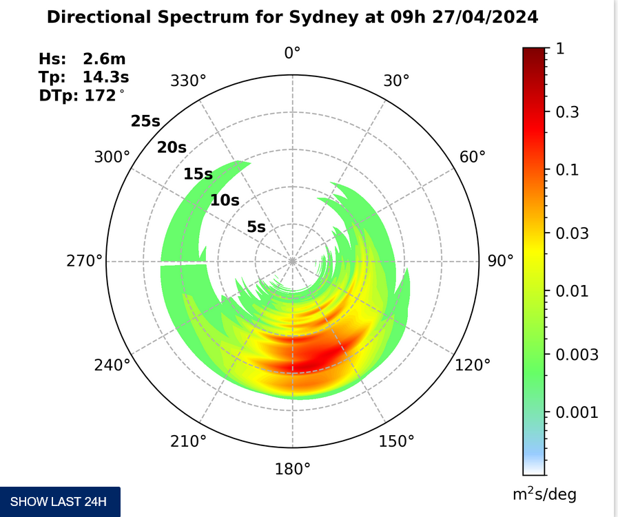
Another cool, grey morning with a few little, barely surfable lumps at SE spots. The MHL buoy was showing a metre of 9 second SE swell. Wind wasn’t a factor early, but as the day goes along it’s expected to get around to the NE and that will further restrict your surf options. Tide was high at 0620 and will hit the low at 1220. Should be a warm day with a high of 24.
Outlook for the next week is pretty marginal according to the latest batch of swell modelling. There might be a little something at south spots tomorrow and then again midweek. But overall it seems we’re in for a stretch of sputtering flat to marginal conditions – unless Huey changes his mind.
Have yourself a good Sunday!

Weather Situation
A cold front will bring southerly change to New South Wales south and central coasts this afternoon and evening. Another southerly change is expected to develop along the coast during Tuesday as another cold front crosses the southwestern Tasman Sea.
Forecast for Sunday until midnight
- Winds
- West to northwesterly 5 to 10 knots tending northeast to northwesterly during the afternoon then tending west to southwesterly up to 30 knots by early evening. Winds tending south to southwesterly 20 to 30 knots later in the evening.
- Seas
- Below 1 metre increasing to 1.5 to 2 metres later in the evening.
- Swell
- Southeasterly 1 metre.
- Weather
- Patchy morning fog inshore with reduced visibility.
Monday 10 October
- Winds
- Southerly 10 to 20 knots tending southwesterly up to 10 knots in the morning. Afternoon sea breeze 10 to 15 knots along shore.
- Seas
- Up to 2 metres decreasing to below 1 metre during the morning.
- Swell
- Southerly about 1 metre.
Tuesday 11 October
- Winds
-
West to southwesterly 10 to 20 knots tending southwesterly up to 10 knots during the afternoon then tending east to southeasterly up to 15 knots during the evening.
- Seas
-
Up to 1.5 metres.
- Swell
-
Southerly 1 metre.


