
Hello Friends,
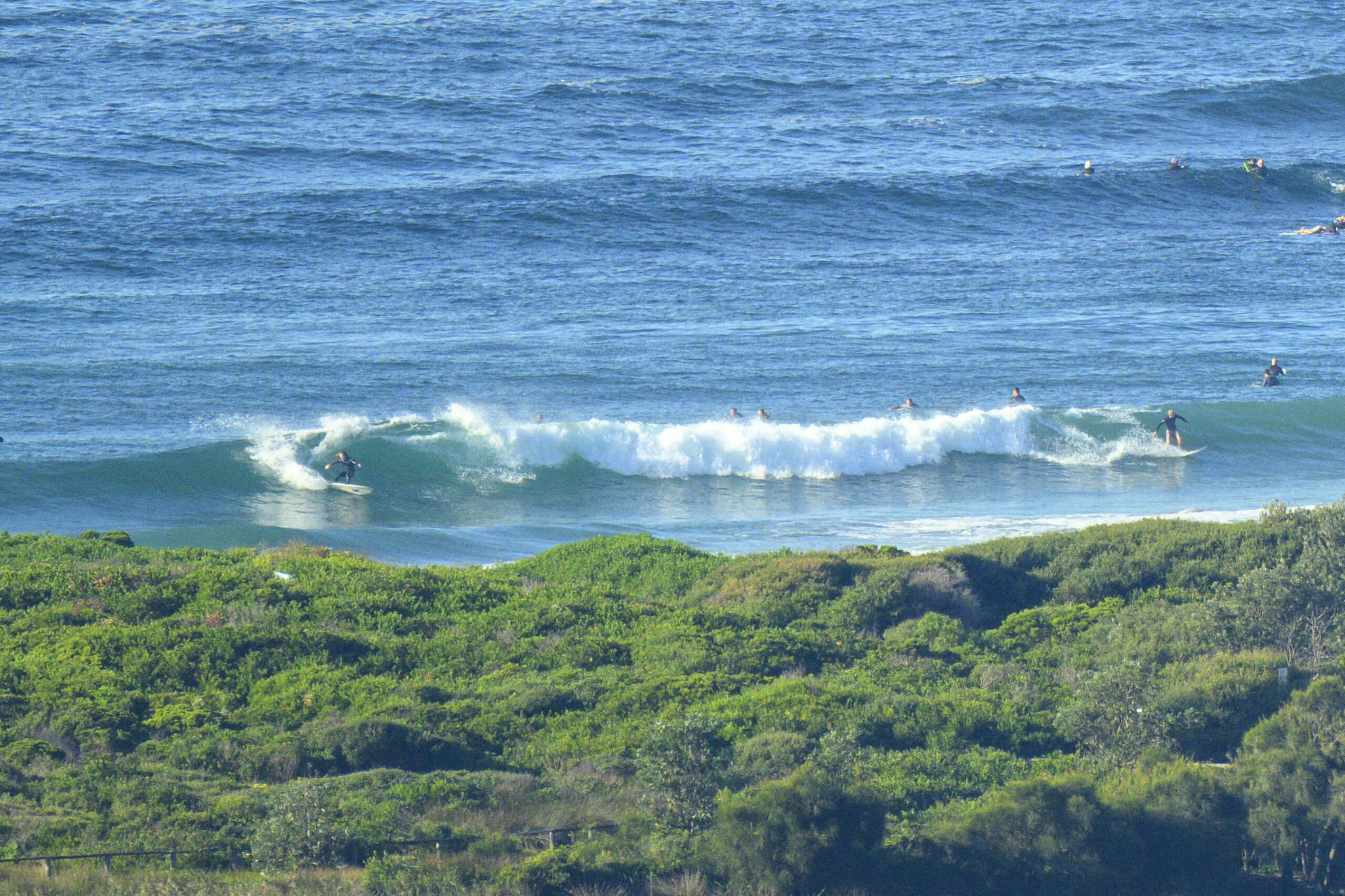
Aside from the bitter cold there were some nice looking south sets hitting Dee Why this morning a little before 0800. The wind is around to the WSW as the day gets started, but the Bureau doesn’t even mention that as a possibility in their 0400 forecast. They warn that we can expect it to go straight southerly and be around the 15-25kt range. There’s a 60% chance of a shower and the high will be 20, so I’d say the plan is to rug up, grab the steamer and make for a corner asap.
Sets at Dee Why were delivering head high wave faces along the beach. On average, the point is a touch smaller than that and less consistent.
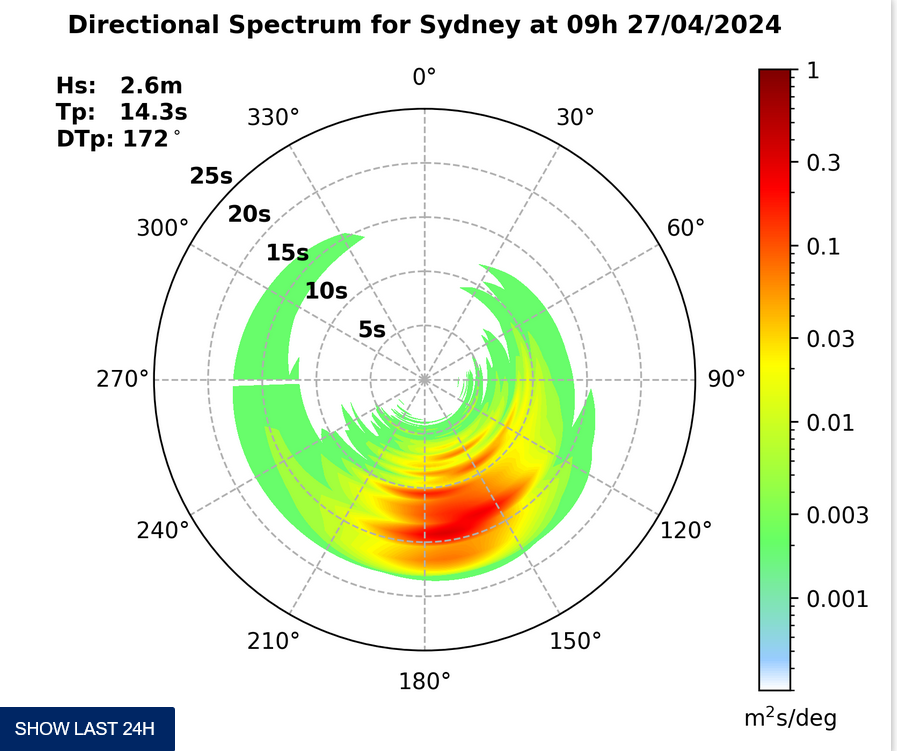
This morning’s run of the forecast models paint a bleak picture from about Friday onward. It looks as though all the southern ocean wave energy is going to be pushed well to the east of us and that we could well be in for a week of tiny to near flat conditions.
Here’s hoping they’re wrong!
In the meantime, have yourself a top old Wednesday.
Weather Situation
Winds will remain fresh southerly along the whole coast today as a strong high centred southwest of Victoria extends a ridge over NSW. The high will move slowly east over the next few days with winds gradually easing along the NSW coast.
Forecast for Wednesday until midnight
Winds
Southerly 15 to 25 knots.
Seas
1.5 to 2 metres.
Swell
Southerly 2 metres.
Thursday 12 April
Winds
Southerly 10 to 15 knots becoming variable below 10 knots during the afternoon. Inshore afternoon sea breezes.
Seas
1 to 1.5 metres decreasing to below 1 metre during the morning.
Swell
Southerly about 1.5 metres.
Friday 13 April
Winds
Variable below 10 knots.
Seas
Below 1 metre.
Swell
Southeasterly about 1 metre.


