Hello Friends,
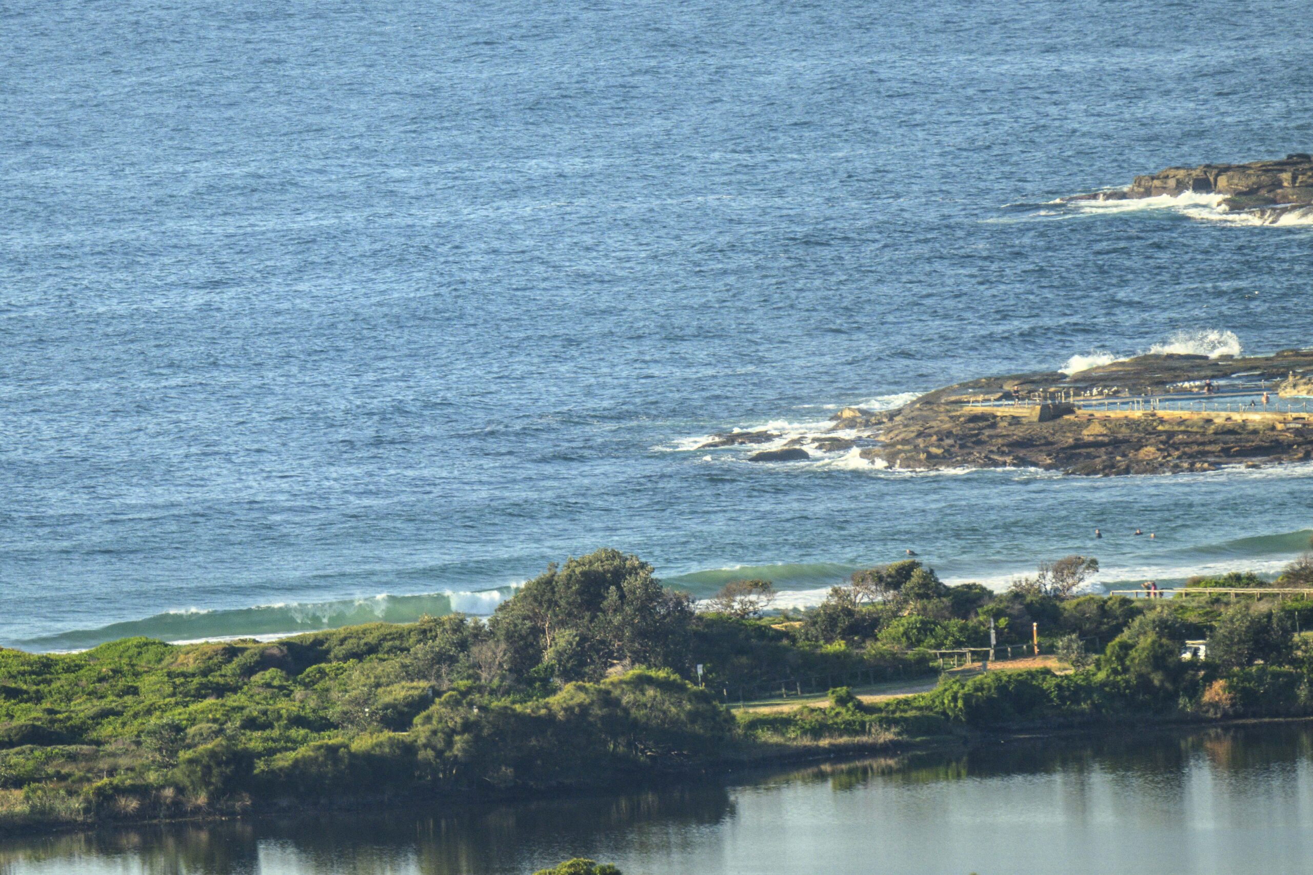
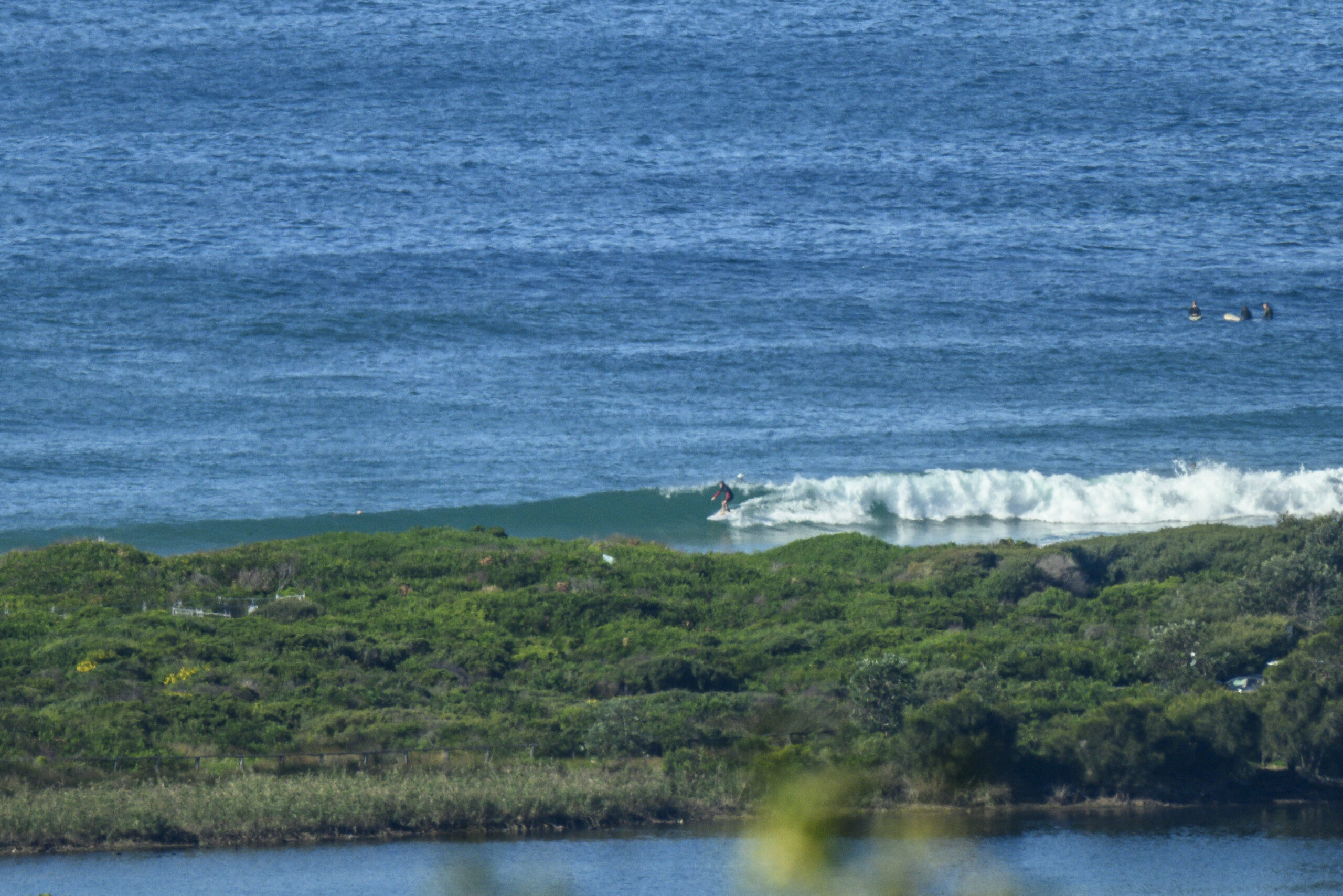
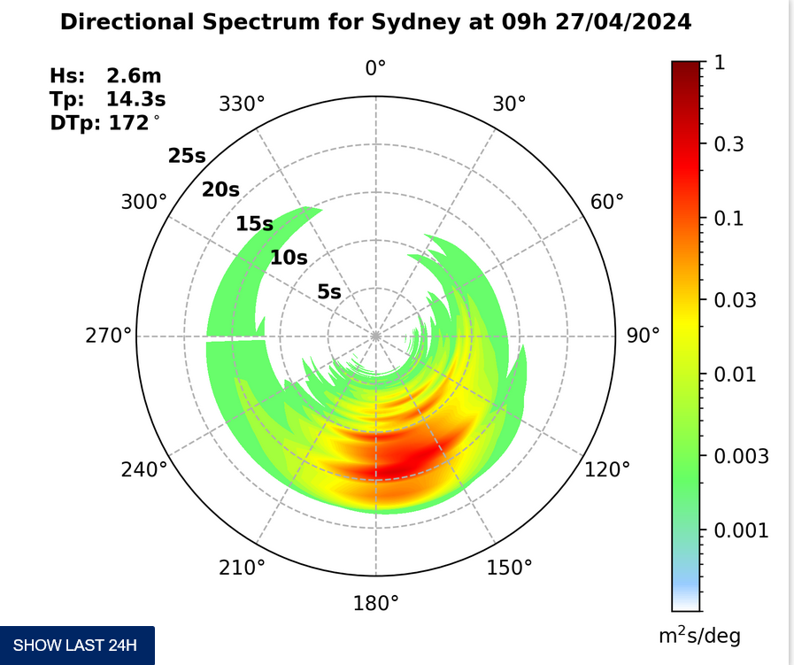
There seems to be a little swell energy around again this morning. Not too dissimilar to yesterday, so with any luck you’ll find waves at the same place you did yesterday. Swell is mainly from the ENE. It’s averaging about 1.5 metres at 8 seconds apart. Once again, the big issue this morning is the very high (2m) tide around 0930. It’ll be swamping lots of places for the early, but spots amenable to NE wind with reasonable exposure to the swell direction might perk up as the tide drops to the low at 1515.
If you have a camera and can get to your fave beach at high tide this morning, why not grab a picture for the King Tides project? High tide is at 0933 at Ft Denison this morning.
Go well with your Friday!
Weather Situation
A high pressure system is slowly moving east across the southern Tasman Sea maintaining a ridge to New South Wales north coast. A trough in the easterlies in the Coral Sea combined with the high pressure ridge directs an east to southeasterly airstream to northern parts of the New South Wales coast, while northerly winds along the remainder of the coast will freshen during Friday and Saturday ahead of a trough with an associated southerly change expected to develop on the south coast Sunday afternoon. This trough and southerly change are expected to move through central parts of the coast on Monday, before becoming slow moving and weakening.
Forecast for Friday until midnight
Winds
Northerly 15 to 25 knots turning northeasterly in the early afternoon.
Seas
1 to 1.5 metres increasing to 2 metres later in the evening.
Swell
Easterly about 1.5 metres.
Saturday 15 December
Winds
North to northeasterly 15 to 25 knots.
Seas
1 to 2 metres.
Swell
Easterly 1.5 metres.
Sunday 16 December
Winds
North to northeasterly 15 to 20 knots.
Seas
1 to 1.5 metres.
Swell
Easterly 2 to 3 metres.


