
Hello Friends,
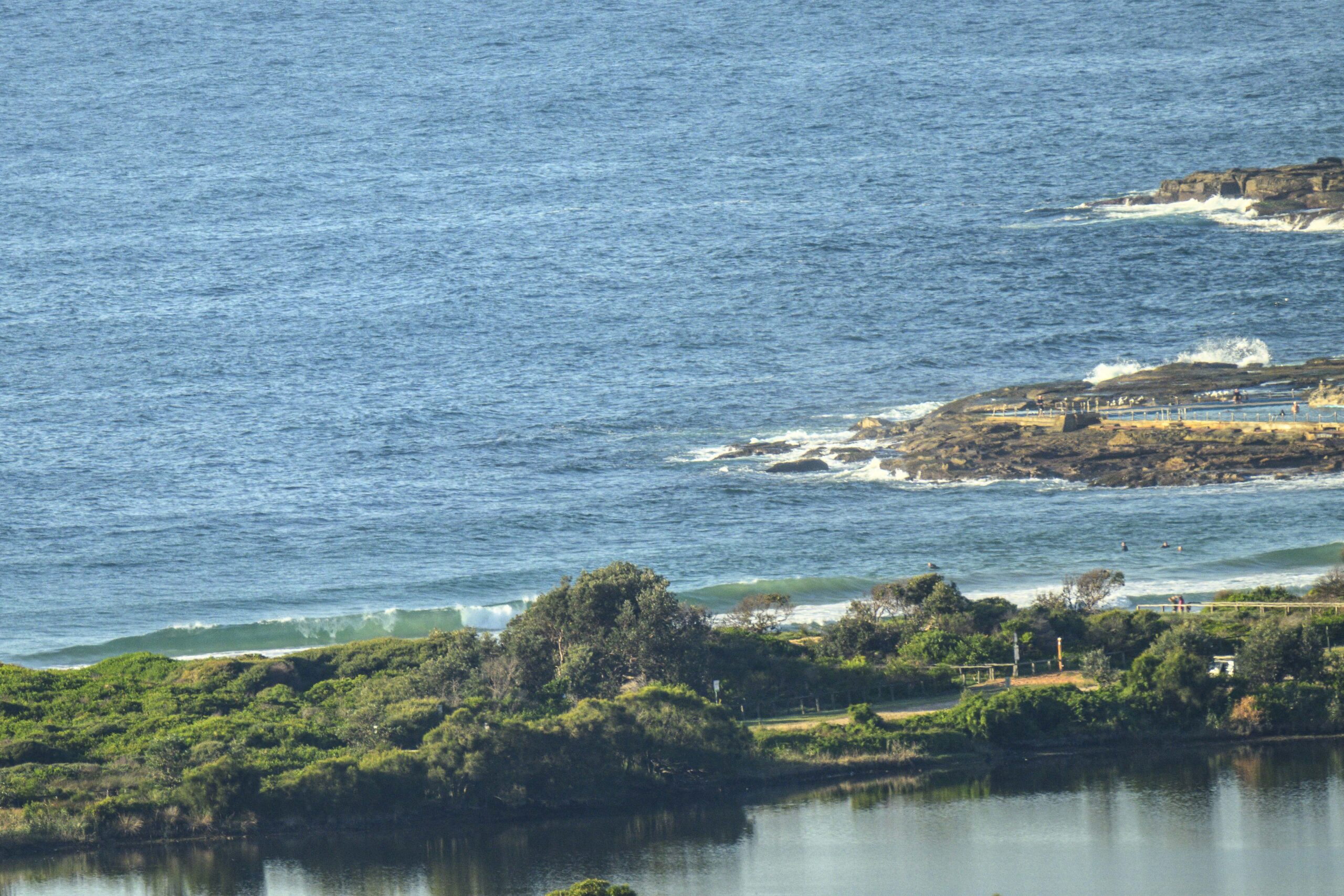
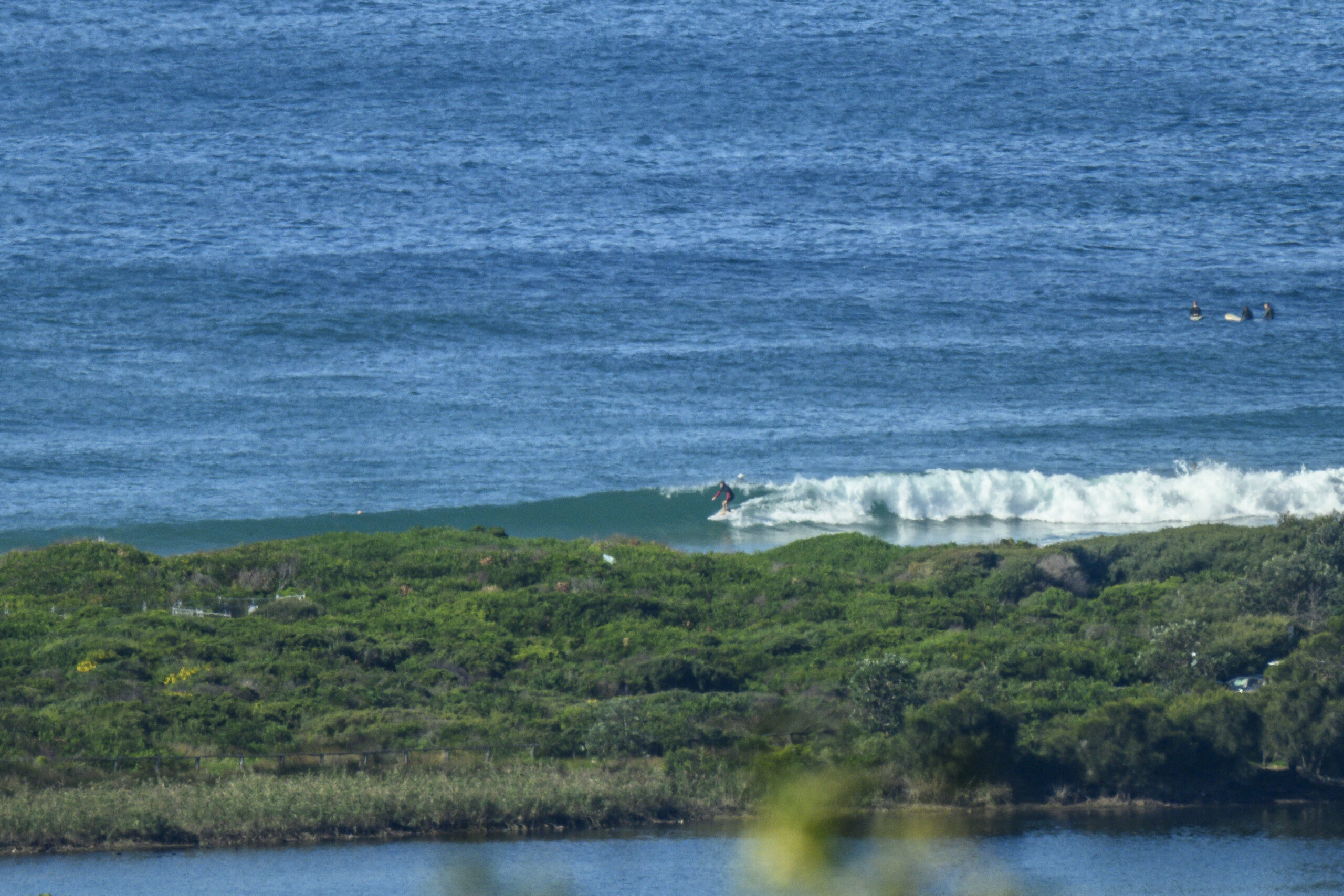
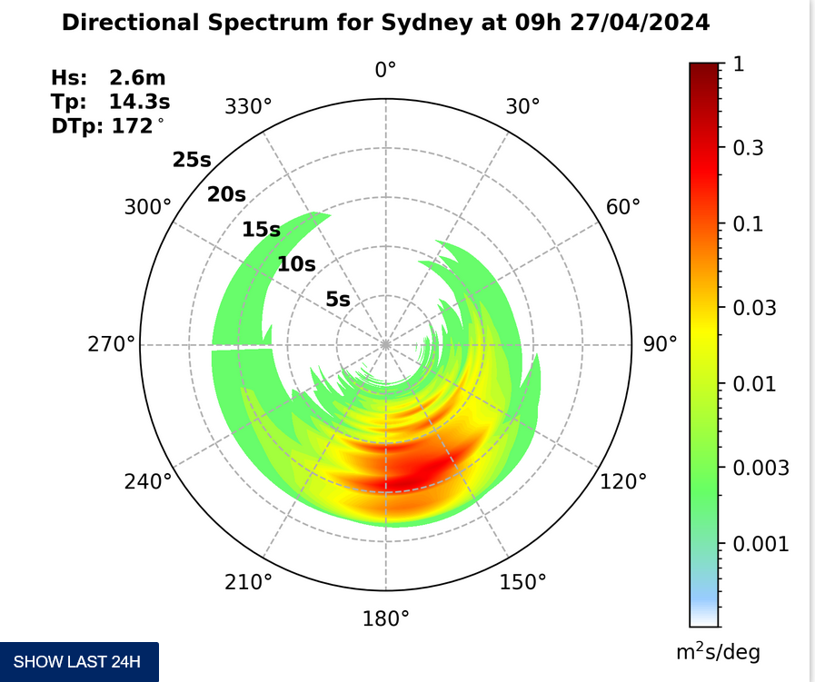
You’ll want to get on it early I think. About a metre of 10 sec period east swell is producing waves in the knee to waist plus range – or even a touch bigger – at exposed spots. Tide’s high at 0910 and a southerly change is due through a little after lunchtime.
The south change doesn’t look as though it’ll deliver us any improvement to the surf conditions. In fact, the front half of the coming week looks pretty ordinary on the forecasts this morning. Oh well… maybe Thursday will see some fun at south spots…
Wind at 0730 is barely there, but it should pick up from the northerly quarters as the change approaches. Looks like a good day for voting, so here’s hoping lots of us put the Environment at the top of our ballots.
Weather Situation
A high pressure system over the Tasman Sea extends a ridge into New South Wales and will remain the dominant feature over the next few days. A weak trough is expected to bring a southerly change to the central parts of the coast Friday morning. The trough is expected to be slow moving over the weekend.
Forecast for Saturday until midnight
Winds
Northeast to northwesterly 10 to 15 knots, ahead of a southerly change 10 to 15 knots in the early afternoon.
Seas
Up to 1 metre.
Swell
East to southeasterly around 1 metre.
Sunday 8 September
Winds
East to southeasterly 10 to 15 knots.
Seas
Up to 1 metre.
Swell
South to southeasterly around 1 metre.
Monday 9 September
Winds
Northerly 15 to 20 knots.
Seas
Around 1 metre, increasing to 1 to 2 metres during the morning.
Swell
Southerly around 1 metre.
Weather
The chance of thunderstorms offshore early in the morning.


