

Hello Friends,
With 10 days to go, 124 fine people have pledged 83% of our crowdfunding target and I’m getting just a little nervous. I was really hoping to get 200 of our most loyal friends to make a pledge, but I’m thinking that may not happen… getting down to the wire now, so all I can do is redouble my efforts. Time to roll out the ol’ black screen of death for the count down I’d say.
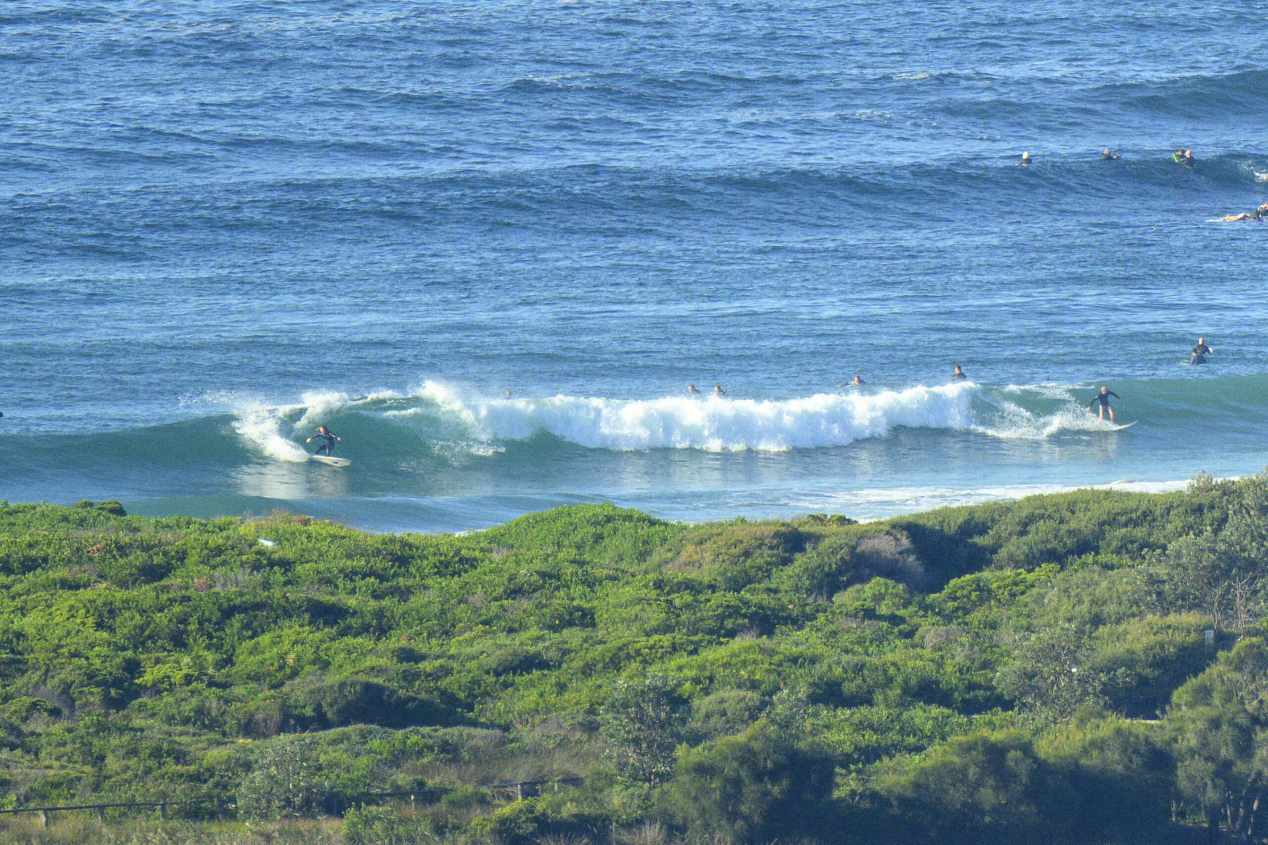
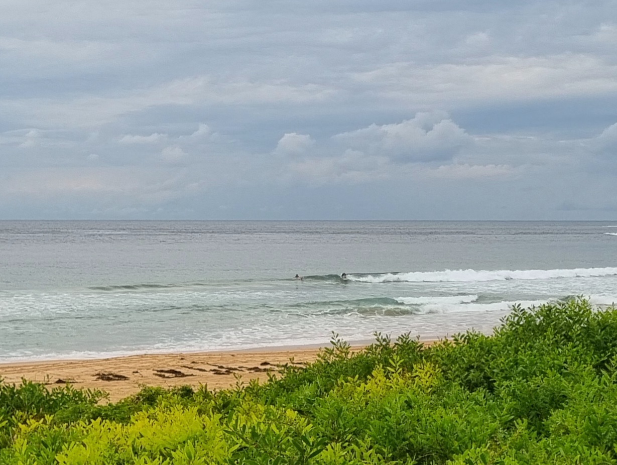
As you can see from the pics, the expected south swell has turned up. It’s blowing very hard out at sea, but fortunately along the beaches it’s SW, so a spot like Dee Why is at least plausible with the 3 metre, 10 second period SSE swell in play. The wind is set to throttle back a bit as the day goes along. Tide’ll be low at 1000, so maybe as it starts coming back in, we’ll see slightly cleaner conditions. The swell’s going to peak this morning and then tail off but still be reasonably fun size tomorrow and maybe even lasting into Wednesday…
Okay, gotta get onto building that screen of death page… 🙂
Have a great day and yes, I’ll try to find time to grab a few piccies for you later if I possibly can. Oh, and make that pledge please!!!!
Forecast issued at 4:10 am EDT on Monday 14 October 2013.
Weather Situation
A strong southerly winds along New South Wales coast will ease gradually today and on Tuesday as a high pressure system south of the Bight moves east extending a ridge to the western Tasman Sea. This high will move offshore by Wednesday and it will continue to move east maintaining the ridge to the northwest. The next south to southwesterly change is expected to develop on the south coast during Thursday.
Forecast for Monday until midnight
Strong wind warning for Monday for Sydney Coastal Waters
Winds
South to southwesterly 20 to 30 knots decreasing to 15 to 25 knots in the middle of the day.
Seas
2 to 3 metres, decreasing below 2 metres around midday, then decreasing below 1.5 metres during the afternoon.
Swell
East to northeasterly 1.5 to 2 metres, tending southeasterly 2 to 2.5 metres during the morning, then tending southerly 2.5 to 3 metres around midday.
Weather
The chance of thunderstorms offshore tonight.
Caution
Large and powerful surf conditions are expected to be hazardous for coastal activities such as crossing bars by boat and rock fishing.
Tuesday 15 October
Winds
Westerly 10 to 15 knots becoming variable about 10 knots in the middle of the day then becoming north to northeasterly 15 to 25 knots in the evening.
Seas
Around 1 metre, increasing to 1 to 1.5 metres by early evening.
Swell
Southerly 1.5 to 2.5 metres, decreasing to 1.5 metres during the morning.
Wednesday 16 October
Winds
North to northwesterly 15 to 20 knots tending north to northeasterly 15 to 25 knots during the afternoon.
Seas
1 to 2 metres.
Swell
Southerly 1 to 1.5 metres, decreasing to around 1 metre during the afternoon.


