

Hello Friends,
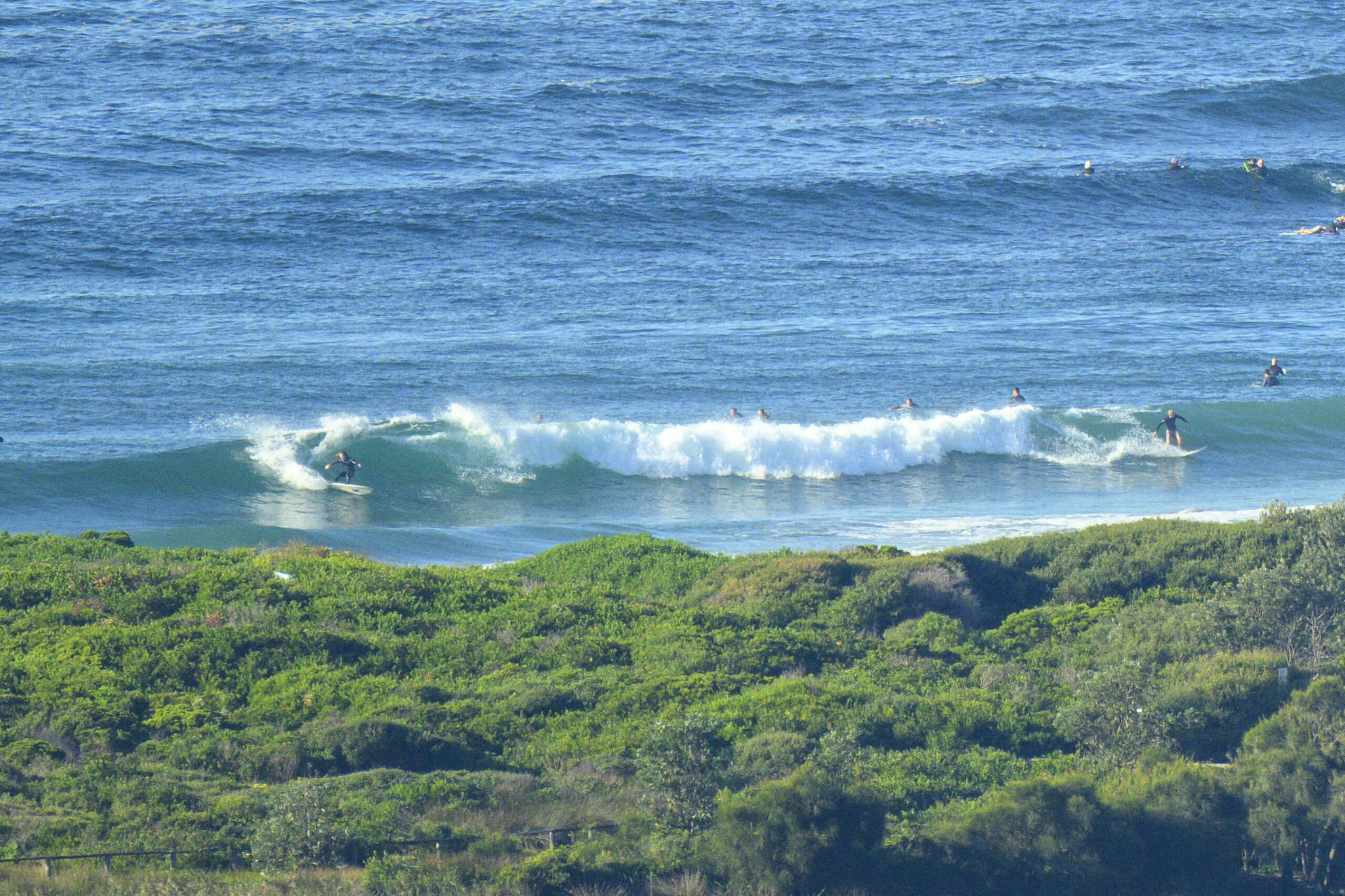
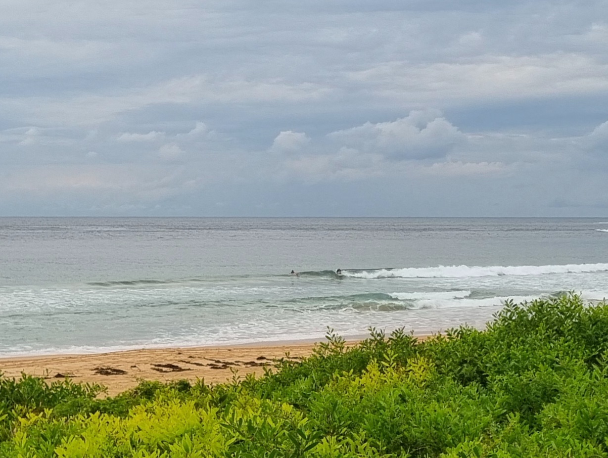
Another morning of essentially flat conditions for Dee Why. However, at 0200 the MHL buoy was showing about a metre of 10s SE swell, so maybe an optimally configured bank at just the right tide would see the odd waist high set wave face.
Outlook remains pretty ordinary with the best hope being a little score around daybreak on days following windy afternoons. We’re in for a couple of days of reasonably fresh NE wind, so getting up early for a look could be a plan if you’re getting desperate.
Tide’s high at 0910 and low at 1545.
Have yourself a top old Thursday and get up to some good on the way through!
Forecast issued at 4:49 am EDT on Thursday 19 December 2013.
Weather Situation
A high pressure system over the western Tasman Sea extends a ridge to the New South Wales north coast. This high is expected to remain slow moving during the next few days, with northerly winds becoming increasingly dominant along coastal waters by the end of the week. A trough is forecast to bring a southerly change to southern parts late Friday and the Central Coast on Saturday.
Forecast for Thursday until midnight
Winds
North to northeasterly 10 to 15 knots, increasing to 20 to 25 knots in the evening.
Seas
Around 1 metre, increasing to 1 to 1.5 metres during the morning, then increasing to 2 to 2.5 metres during the afternoon.
Swell
Easterly below 1 metre.
Friday 20 December
Winds
North to northeasterly 15 to 25 knots.
Seas
1.5 to 2.5 metres.
Swell
Northeast to southeasterly around 1 metre.
Saturday 21 December
Winds
Northerly 15 to 25 knots shifting southerly during the morning.
Seas
1.5 to 2.5 metres, decreasing below 1.5 metres during the evening.
Swell
Easterly around 1 metre, tending northeasterly 1 to 1.5 metres during the morning.


