Midday update:
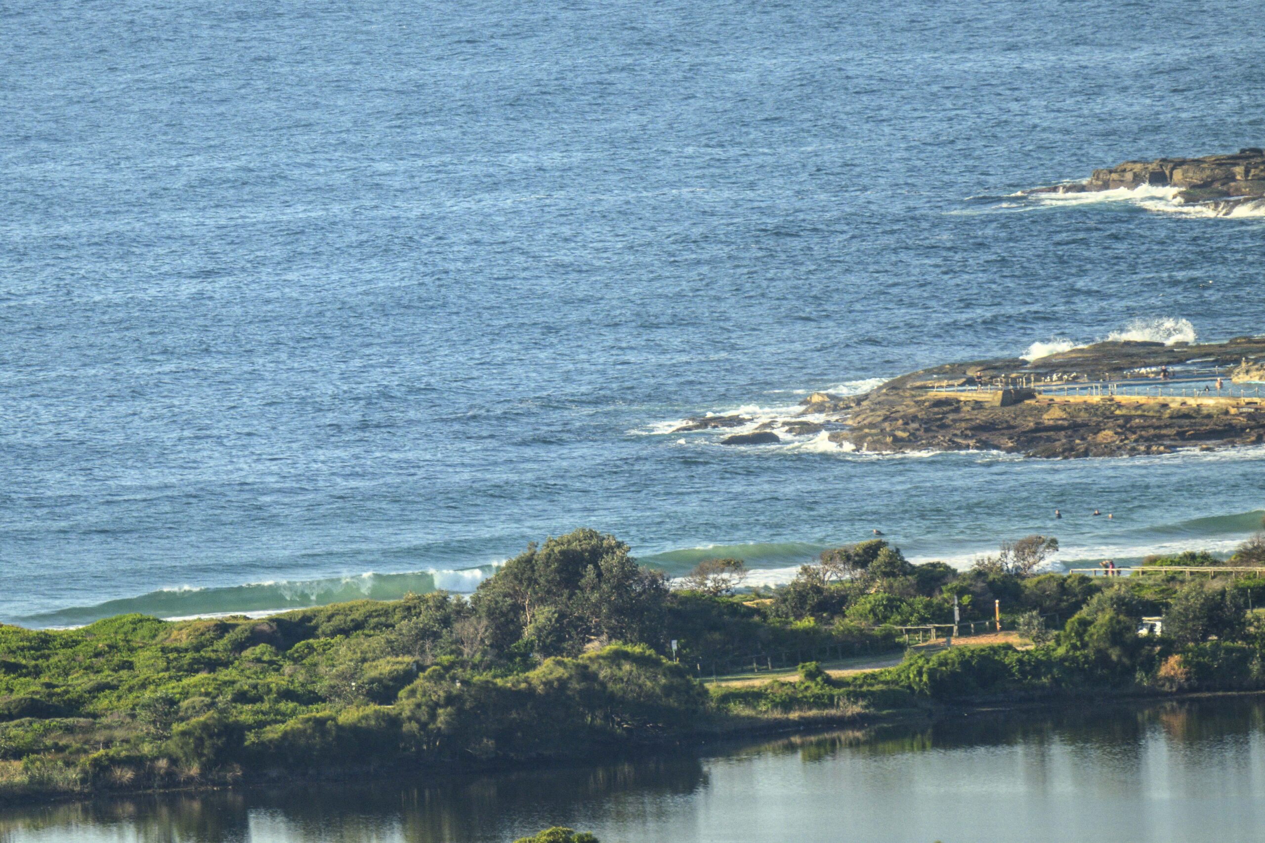
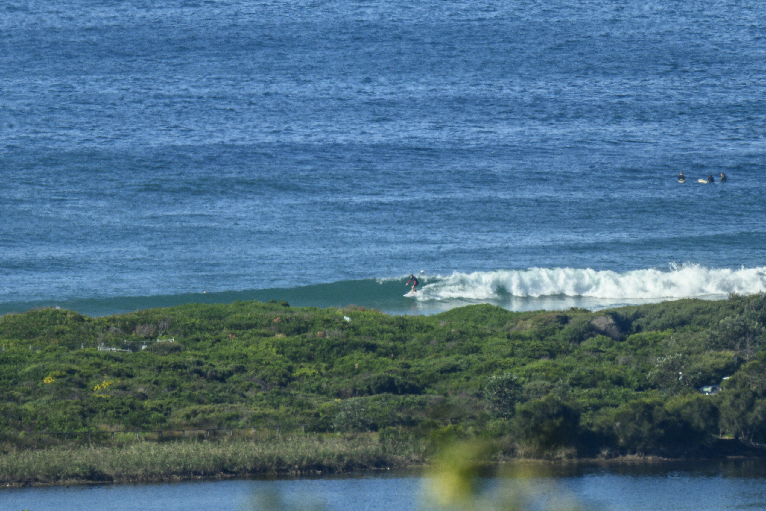
Watched the point, Dee Why and up to Longy for about an hour late this morning. There were head high waves at the point and only 10 people out – the only problem was that those waves were turning up about every 20 mins, and they were one at a time. To put it mildly, it was very inconsistent. Went up to Northy for a look and discovered the same syndrome. One wave sets and really long lulls. It tells you something when there are only 20 bods in the water at Northy on a beautiful offshore day.
Here’s a snap for you…

The following was posted at 0850
Hello Friends,
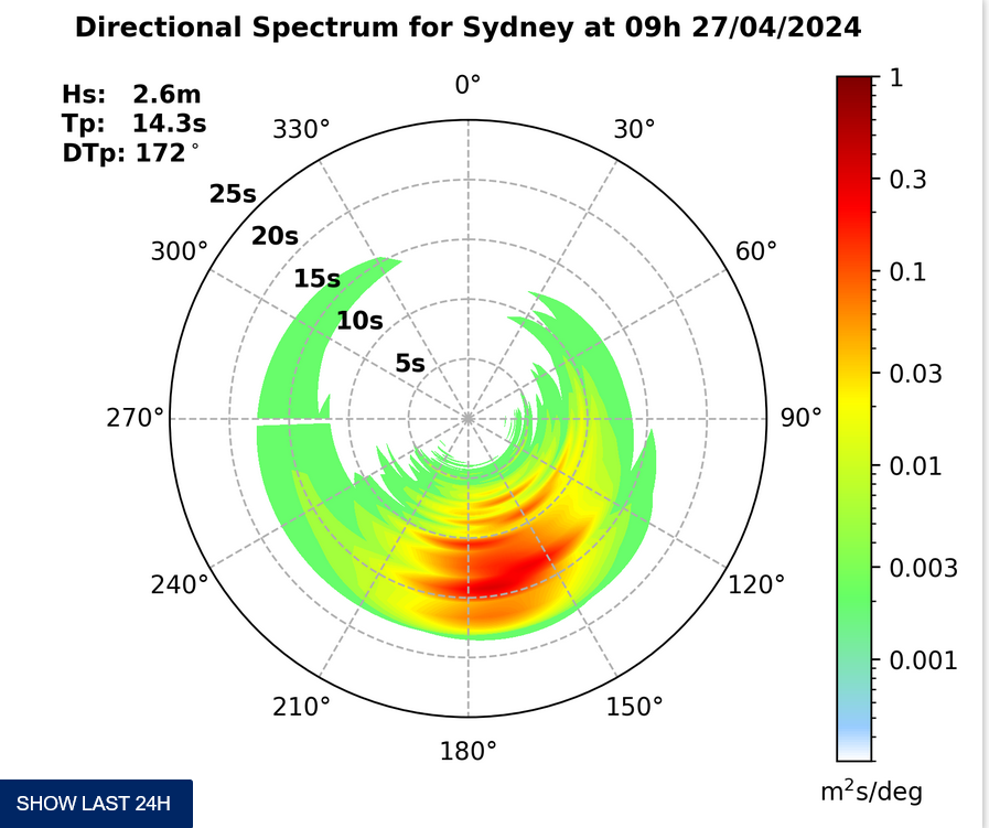
This morning saw an unusually long period SSE pulse along the beaches of the Sydney region. The MHL buoy was showing 14.8 seconds with an average height of 1.2 metres. That was translating into shoulder plus sets along the beach and chest plus at the point. Given the long period, the lulls are longish too. The beach break is almost entirely shutting down because the lines are just too long.
As my mate Paul reminded me this morning, these conditions can sometimes see certain rare spots come into play. If you’ve come across one, I’d love to hear about it.
Outlook for the rest of the day is for northwesterly 10-15kts in the middle part of the day, swinging to the westerly quarters in the afternoon. The swell modelling says the peak energy will be in the middle part of the day. So, you’ll want to get on it earlier rather than later.
While the long period stuff will fade back to more normal levels over the next couple days, it does look as from the modelling as though we should see improving swell with a peak somewhere between Friday and Saturday. It’s shaping to be mostly dead south, but the more detailed models are showing secondary east in the mix, so that could help. Wind looks marginal for tomorrow (SW 15-20kts) and not so good for Friday (SE 10-15kts).
Have yourself a great Wednesday everybody!


Weather Situation
A low pressure trough lies over the northern inland of New South Wales whilst a strong high pressure system over southeastern Australia extends a ridge across the remainder of the state. The ridge will be the dominant synoptic feature over the next few days. A weakening cold front is expected to reach the far south coast late on Wednesday and along the remainder of the coast during Thursday.
Forecast for Wednesday until midnight
Winds
West to southwesterly about 10 knots tending northwesterly 10 to 15 knots in the morning then tending northwest to southwesterly 15 to 20 knots in the afternoon.
Seas
Around 1 metre, increasing to 1.5 metres offshore in the evening.
Swell
Easterly 1 to 1.5 metres.
Thursday 7 August
Winds
Southwesterly 15 to 20 knots turning south to southeasterly 10 to 15 knots in the late afternoon.
Seas
1.5 metres, decreasing to 1 metre during the morning.
Swell
East to southeasterly 1 to 1.5 metres
Friday 8 August
Winds
Southeasterly 10 to 15 knots decreasing to below 10 knots during the morning then becoming east to northeasterly during the afternoon.
Seas
Below 1 metre.
Swell
Southerly 1.5 metres, increasing to 1.5 to 2 metres offshore.


