
Hello Friends,
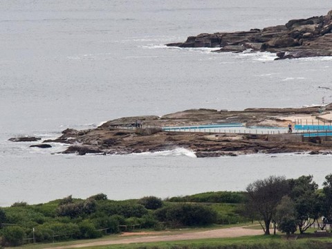
This could be one of those days when the beaches of Sydney start the day with an excellent impression of a lake and end it with a thundering crescendo. There was absolutely nothing happening at Dee Why when I grabbed the first picture of the morning.
The MHL Sydney buoy was detecting about a metre of 5-sec wind swell from the NNE at 0600. But down at Eden the beast was roaring. It was averaging 4.3 metres (with peaks to 6.6m) at nearly 11 seconds apart from the SSW. That’s hardly an optimal swell direction for us, but the Bureau’s hoisted the dangerous surf warning for an anticipated arrival of 2.5-4 metre south swell about lunchtime.
Wind was light westerly as I tapped out the report but by the time the swell gets here it’s expected to be 20-30 kts SW and it’ll stay that way for 24 hours or so as the swell peaks. Tomorrow morning the Bureau expects 3-4 metres of south swell. By the afternoon it’ll be dropping as the wind goes southerly and Friday looks like being around the 2 metre mark but southerly.
I’ll be keeping a close eye on it and will be updating the page if things turn interesting later.
Oh, and if the models are to be believed, next week is shaping up to be rather interesting – if you like big, long period swell and light offshores.
Have a great Wednesday and check back later because I’ll be updating the observations.
Weather Situation
A deep low pressure system off New South Wales far south coast will start moving east, away from the coast later on Wednesday. Vigorous westerly to southwesterly winds along the south and central coats will gradually ease during Thursday as the low moves further east and a strong high pressure system south of Bight extends a ridge to the western Tasman Sea behind the low.
Forecast for Wednesday until midnight
Gale Warning for Wednesday for Sydney Coast
Winds
West to northwesterly 25 to 30 knots turning southwesterly 20 to 30 knots in the late morning and early afternoon. Winds reaching up to 35 knots offshore in the afternoon.
Seas
1 to 2 metres, increasing to 2 to 4 metres offshore.
Swell
Southerly 1 to 1.5 metres, increasing to 2.5 to 4 metres around midday.
Weather
Cloudy. 50% chance of showers offshore, near zero chance elsewhere.
Caution
Large and powerful surf conditions are expected to be hazardous for coastal activities such as crossing bars by boat and rock fishing.
Thursday 9 April
Strong Wind Warning for Thursday for Sydney Coast
Winds
Southwesterly 20 to 25 knots, reaching up to 30 knots offshore during the day. Winds turning southerly 15 to 20 knots during the afternoon and evening.
Seas
2 to 3 metres.
Swell
Southerly 3 to 4 metres, decreasing to 2.5 to 3 metres during the afternoon.
Weather
Partly cloudy. 50% chance of showers offshore, 30% chance elsewhere.
Caution
Large and powerful surf conditions are expected to be hazardous for coastal activities such as crossing bars by boat and rock fishing.
Friday 10 April
Winds
Southerly 15 to 20 knots tending southeasterly 10 to 15 knots during the evening.
Seas
1.5 to 2 metres, decreasing to 1 metre during the afternoon.
Swell
Southerly 2 to 2.5 metres.
Weather
Partly cloudy. 40% chance of showers.

