Hello Friends,
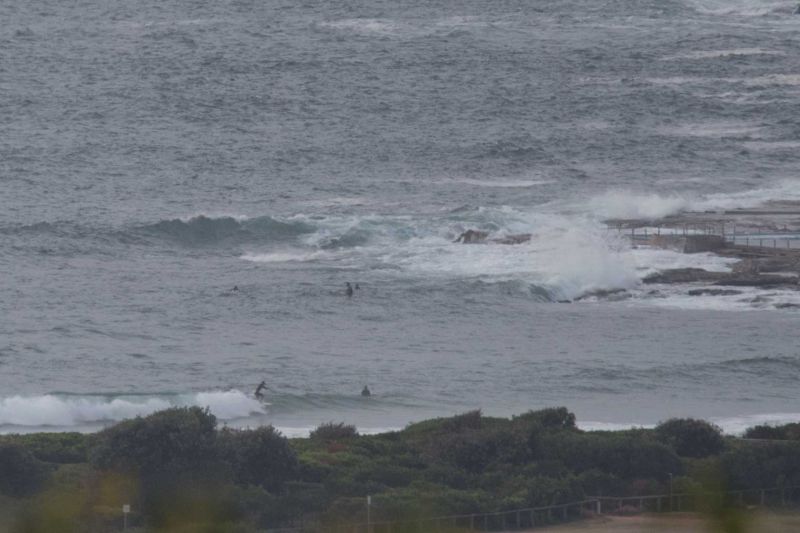
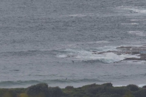
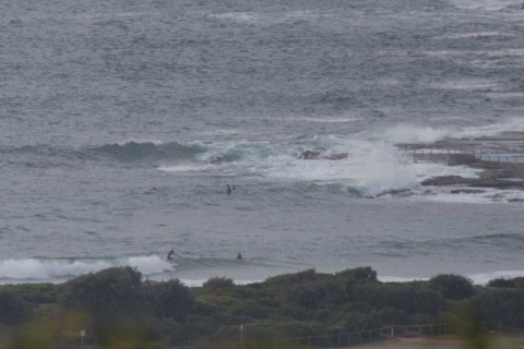
Just a quick snapshot this morning. Although swell is out of the SSE and NE at 1-1.4m at 11-12 seconds, Dee Why was knee to waist, and inconsistent as of 0730. Will try to grab a few more snaps to share later this morning.
Weather Situation
A strong high lies over the Tasman Sea, establishing northeasterly winds along the New South Wales coast. Winds will strengthening today as a low pressure trough approaches from the west. This trough is expected to bring a southerly change to the southern half of the coast on Wednesday, before stalling in northern parts during Thursday.
Forecast for Tuesday until midnight
- Winds
- Northeasterly 15 to 25 knots.
- Seas
- 1 to 1.5 metres, increasing to 1.5 to 2 metres offshore.
- 1st Swell
- Easterly 1.5 metres.
- 2nd Swell
- Southerly around 1 metre.
- Weather
- Cloudy. 60% chance of showers.
Wednesday 9 December
Strong Wind Warning for Wednesday for Sydney Coast
- Winds
- Northerly 15 to 25 knots, reaching up to 30 knots early in the morning. Winds decreasing to 15 to 20 knots in the morning then shifting south to southwesterly 15 to 25 knots in the late evening.
- Seas
- 1.5 to 2.5 metres, decreasing to 1 to 1.5 metres during the afternoon.
- 1st Swell
- Easterly 1 to 1.5 metres, decreasing to around 1 metre around midday.
- 2nd Swell
- Southerly around 1 metre.
- Weather
- Partly cloudy. 40% chance of showers in the afternoon and early evening. The chance of a thunderstorm in the afternoon and early evening.
Thursday 10 December
- Winds
- Southerly 15 to 25 knots becoming variable about 10 knots during the day.
- Seas
- 1.5 to 2 metres, decreasing below 1 metre during the morning.
- 1st Swell
- Southerly 1 to 1.5 metres.
- 2nd Swell
- Easterly around 1 metre.
- Weather
- Cloudy. 20% chance of a shower.


