Hello Friends,
Are you really, really keen?
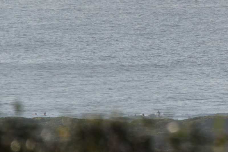
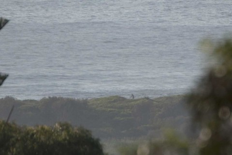
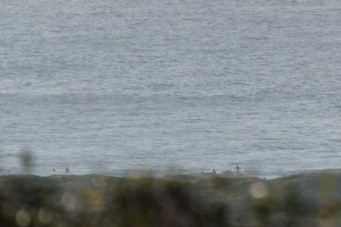
You wanted to be at 0700 this morning if your were at Dee Why. The MHL buoy is showing a metre of 7-sec south windswell as we head toward a high tide at 1055. The point wasn’t working at all and the beachy was in the ankle to knee high range. Definitely a day for your floatiest wave implement.
Outlook according to various swell modelling sites is for the conditions to hang around these settings all week. There are some hints in the long range forecasts of an improvement early next week but at this stage I’m not getting too excited because it’s looking like being vigorously southerly. As always, we shall see…
Have yourself a great Monday one and all!
Weather Situation
A persistent high pressure system over the central Tasman Sea will direct north to northeasterly winds along New South Wales coast today and along northern parts of the coast for the remainder of the week. During Tuesday and Wednesday a weak trough is expected to bring a brief southerly change to southern and central parts of the coast, before winds turn northeasterly again during Thursday.
Forecast for Monday until midnight
- Winds
- North to northeasterly 15 to 20 knots, tending about 10 knots inshore early in the morning. Winds turning northeasterly in the middle of the day, and reaching up to 25 knots offshore in the late evening.
- Seas
- 1 to 2 metres.
- Swell
- Northeasterly around 1 metre.
- Weather
- Sunny.
Tuesday 15 December
- Winds
- Northeasterly 15 to 25 knots.
- Seas
- 1 to 2 metres.
- Swell
- Northeasterly around 1 metre.
- Weather
- Partly cloudy. 40% chance of showers in the afternoon and evening. The chance of a thunderstorm offshore at night.
Wednesday 16 December
- Winds
- North to northeasterly 15 to 25 knots shifting southerly 15 to 20 knots during the morning.
- Seas
- 1 to 1.5 metres.
- Swell
- Northeasterly 1 to 1.5 metres, decreasing to around 1 metre during the morning.
- Weather
- Cloudy. 60% chance of showers. The chance of a thunderstorm.


